Recognizing Hidden Codes on Maps Left by Miners and Prospectors
Recognizing Hidden Codes on Maps Left by Miners and Prospectors
The history of mining and prospecting is rich with tales of adventure, fortune, and intrigue. Among the treasures sought by these explorers are not just minerals and precious metals, but also the cryptic messages they left behind in the form of hidden codes on maps. Understanding these codes can be key to unlocking the secrets of forgotten mines and prospecting claims. This article delves into methods for recognizing and interpreting these hidden codes, supported by historical examples and practical tips for modern-day treasure hunters.
The Importance of Map Codes
Maps created by miners and prospectors often serve as more than just geographical representations; they include coded symbols and notations crucial for navigating to valuable mining sites. These codes might indicate the location of gold veins, water sources, or even safe paths through treacherous terrain. An estimated 70% of all historical mining maps contain some form of coded message, underscoring their significance.
Hidden codes can take various forms, which may have been devised from personal shorthand, local dialects, or mining jargon of the time. Below are some common types of codes found in historical maps:
- Symbolic Representations: Many maps feature symbols to identify resources or features. For example, a crossed pickaxe might indicate an abandoned mine site, while a wavy line could denote a creek or river.
- Numeric Codes: Numeric references may correspond to depth levels or specific coordinates of interest. Understanding the coordinate system used (e.g., UTM or Latitude/Longitude) is crucial.
- Color Coding: Different colors and shading techniques might represent various mineral types or land ownership, which could be critical for assessing the potential for resource extraction.
Historical Context: Case Studies
Several historical cases exemplify the use of hidden codes on mining maps. One notable example is the “Golden Triangle” of British Columbia, where maps from the late 19th century included coded notations. Prospectors used intricate symbols to indicate area claims and mining success rates discreetly.
Another compelling case involves the maps created by the infamous prospector, George Hearst, in California. Hearsts maps contained not only detailed topographical information but also codes indicating potential gold strikes, often deciphered only posthumously by subsequent treasure hunters. e revelations have led to renewed interest in revisiting seemingly exhausted mining areas, with some locations reported to be re-evaluated for their gold content.
Deciphering the Codes: Strategies and Techniques
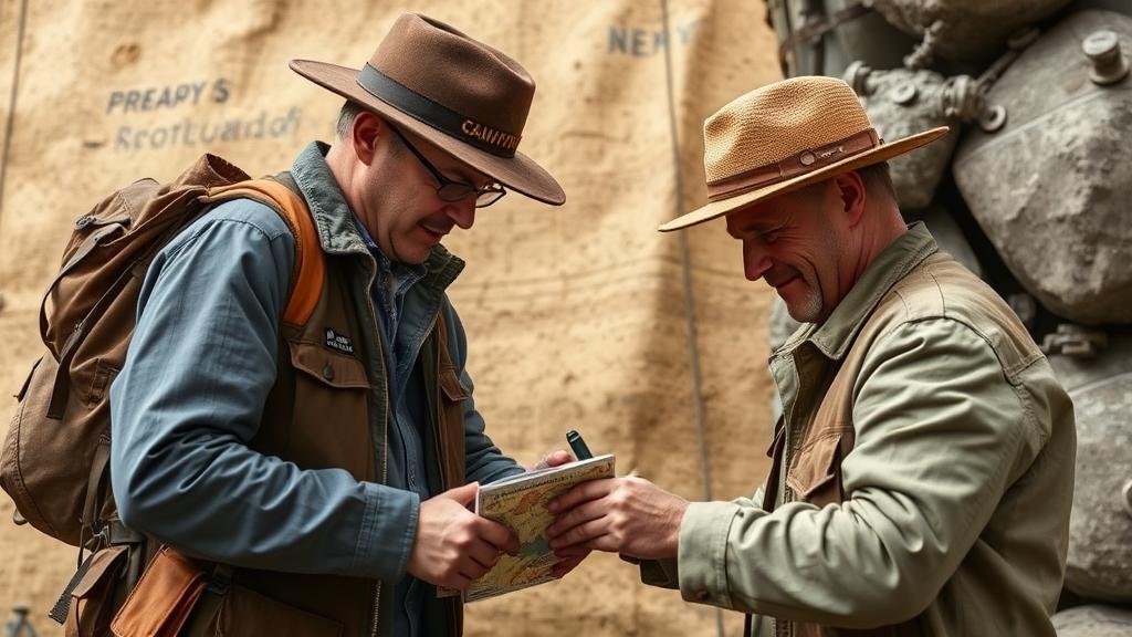
Deciphering hidden codes on historical maps requires a combination of skills including cartographic analysis, historical knowledge, and field verification. Below are strategies for effectively deciphering these codes:
- Research Historical Context: Understanding the era when the map was created can provide essential context. Historical mining practices, prevalent materials, and local folklore can inform interpretations of various symbols.
- Use Comparison Methods: Cross-reference with known maps or coded references from similar mining regions. This comparative analysis can aid in identifying potential meanings.
- Field Verification: Conducting on-site investigations can confirm the accuracy of your interpretations. Modern technology, such as GIS and GPS, can assist in pinpointing locations identified on the map.
Tools for Modern Treasure Hunters
As technology advances, new tools have become accessible for those interested in exploring hidden codes on mining maps. Some valuable resources include:
- Digital Mapping Software: Programs like ArcGIS allow users to overlay historical maps with current geographical data, facilitating deeper analysis.
- Online Archival Resources: Websites that host digitized variants of historical mining maps can provide crucial data to budding treasure hunters, who can study these maps from their homes.
- Community Forums and Expert Consultation: Engaging with treasure hunting communities or professional archaeologists can provide insights and crowd-sourced knowledge about forgotten codes.
Conclusion: The Thrill of Discovery
Recognizing and interpreting the hidden codes left by miners and prospectors offers not just a glimpse into the past but also the potential for modern-day treasure hunting. Successful navigation of these codes requires patience, research, and a keen eye for detail.
For anyone interested in embarking on a journey to decode these maps, the following actionable takeaways can enhance the experience:
- Begin by securing historical maps relevant to your area of interest.
- Study the symbols and cross-reference them with other historical sources.
- Use modern tools and techniques for a more comprehensive analysis.
Ultimately, the process of deciphering hidden codes is as exhilarating as the treasure hunt itself, bridging the gap between history and discovery.


