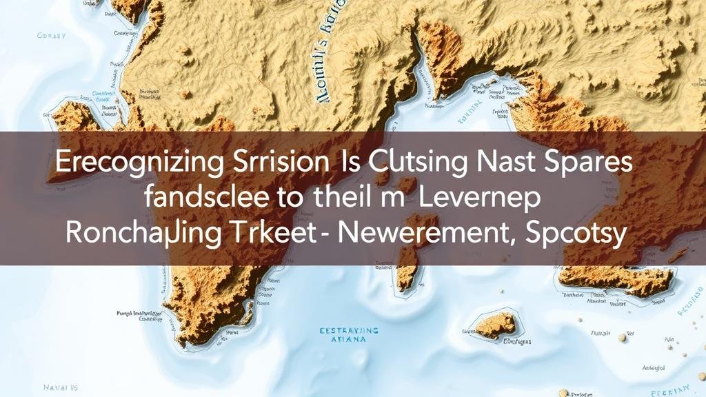
Recognizing Erosion Clues in Maps Marking Coastal Treasure Spots
Recognizing Erosion Clues in Maps Marking Coastal Treasure Spots
The fascination with treasure hunting has persisted throughout history, particularly along coastlines where lost ships, hidden riches, and forgotten artifacts are believed to be concealed. Coastal treasure maps, often marked with tantalizing clues, can sometimes contain vital information about erosion–a significant geological process that can influence both the location of treasures and the viability of retrieving them. Understanding the clues of erosion on these maps can enhance treasure seekers chances of success. This article explores how to recognize these clues, supported by real-world examples, to provide a comprehensive guide for aspiring treasure hunters.
The Science of Coastal Erosion
Coastal erosion refers to the process wherein rocks, sand, and soil along the shoreline are worn away by wave action, tidal currents, and other natural forces. This phenomenon is both a rapid and gradual process, influenced by factors such as climate change, human activity, and geological composition. Recognizing clues of erosion on historical treasure maps can offer insights into how coastal conditions have changed over time, guiding treasure hunters to potential locations of buried or submerged artifacts.
Identifying Erosion Clues on Maps
Maps marking treasure spots often come with anomalies that can indicate erosion. Here are some common clues to look for:
- Changes in Shoreline Shapes: Irregular shorelines or abrupt changes in curvature can indicate areas where erosion has occurred. Historical maps often reflect the coastal configuration at the time of their creation, allowing hunters to infer past erosion patterns.
- Depressions and Scours: Bowl-shaped depressions or scoured channels on a map can indicate areas where sediment has been eroded away. These features may suggest that buried treasure could be revealed as sand and silt continue to shift.
- Landmarks and Geographical Features: Certain distinct features, such as cliffs or outcroppings, often suffer from erosion. Understanding the current state of these features compared to their historical representation can offer clues regarding potential treasure locations.
Case Studies: Historical Examples of Erosion and Treasure Recovery
Several important case studies highlight the relationship between coastal erosion and treasure recovery. The most notable example is the discovery of the Spanish galleon, Nuestra Señora de Atocha, off the coast of Florida. After sinking in a storm in 1622, the wreck remained buried under shifting sands until treasure hunter Mel Fisher, using historical maps that indicated erosion patterns, was able to locate it in 1985. discovery yielded an estimated $400 million in gold and silver, demonstrating how understanding erosion can lead to significant finds.
Another compelling case is the site of the infamous pirate William Kidds sunken ship, the Adventure Galley. Recent studies and the erosion of coastal areas in the Caribbean led researchers to reevaluate historical maps that suggested the ship might be buried in a specific beach area. Erosion clues were instrumental in narrowing down the excavation sites where pieces of the ship have since been discovered.
Real-World Applications of Erosion Knowledge
For amateur treasure hunters and professional archeologists alike, recognizing erosion clues has practical applications. e clues can steer searches toward areas with a higher likelihood of finding artifacts. Here are actionable takeaways:
- Analyze Historical Maps: Always cross-reference historical treasure maps with more recent topographical and geological maps to identify changes in the landscape.
- Use Technology: Employ aerial surveying and ground-penetrating radar to visualize erosion features without disturbing the ground unnecessarily.
- Engage with the Local Community: Historical societies and local historians often provide insights into known erosion patterns and treasure tales that may not be documented formally.
Conclusion
Understanding erosion and recognizing its clues on coastal treasure maps can significantly enhance treasure-seeking efforts. The interplay between geological changes and historical prospecting can illuminate paths taken by sailors and treasure hunters of the past. By employing a blend of historical analysis and modern technology, treasure hunters can unravel the mysteries left behind by coastal erosion, pointing them toward successful finds buried beneath the sands of time.


