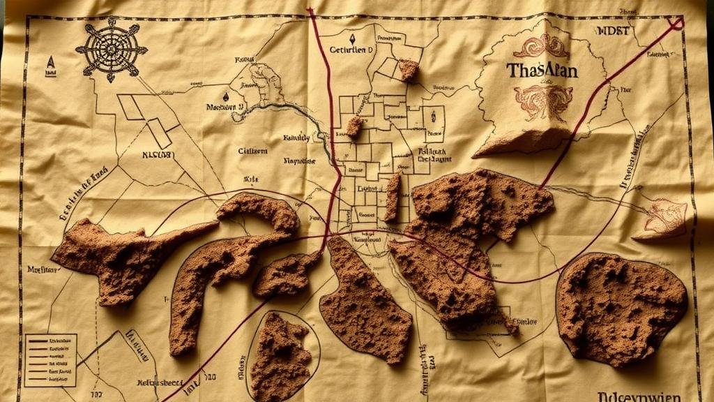
Reading Treasure Map Annotations About Depth and Digging Spots
Reading Treasure Map Annotations About Depth and Digging Spots
Treasure maps have captivated imaginations for centuries, often depicted in literature and cinema as cryptic guides to buried riches. But, a treasure maps true value depends significantly on understanding its annotations, particularly those that indicate depth and digging spots. This article delves into the methodologies and interpretations associated with these vital annotations, providing practical insights for treasure hunters and history enthusiasts alike.
Understanding Treasure Map Annotations
Annotations on a treasure map can vary widely, often encompassing symbols, letters, and drawings that convey specific information about the location and the treasures buried. At the core, these annotations serve two primary purposes: identifying the dig site and detailing the necessary depth.
- Latitude and Longitude: Many modern treasure maps incorporate geographic coordinates.
- Landmarks: Natural features such as rivers, mountains, or trees often serve as reference points.
- Depth Indicators: Numerical values, claw markings, or other symbols denote how deep one needs to dig.
Understanding how to interpret these elements is crucial for successfully locating buried treasures. The more you know about the maps context, the easier it is to decode its messages.
Depth Annotations: Decoding the Symbols
Depth annotations on a treasure map can differ dramatically based on the cartographer’s intent and the historical context. Common indicators include numerical values, often accompanied by units of measurement (feet, meters) that inform the treasure hunter about how far the treasure lies beneath the surface.
For example, a map might have an annotation that reads 10 paces down or 20 feet deep. This could imply that the treasure lies beneath layers of soil that require significant excavation. Treasure hunters equipped with shovels can plan accordingly, perhaps employing tools like metal detectors to assist in their quest.
Identifying Digging Spots
Identifying specific digging spots is another critical component of interpreting treasure maps. These spots may be circled, marked with an X,’ or indicated through unique symbols. A good treasure map gives clear hints about the best place to begin digging.
- Environmental Indicators: The presence of specific flora, such as aged trees or rare plants, may denote areas of higher likelihood for buried treasures.
- Soil Composition: Annotations might also include hints about soil type–darker soils often indicate historical activity.
For example, in a region noted for its mining history, finding a digging spot near previously excavated areas may yield successful results. A study of existing maps can provide context; for example, maps from the gold rush in California often indicate associations with rivers or existing settlements as likely places for treasure.
Case Studies: Successful Treasure Hunts
Numerous cases highlight the importance of accurately reading annotations. The hunt for the Lost Dutchman’s Gold Mine in Arizona serves as an example of how interpretations can lead to success or failure. Explorers have spent decades trying to decode the maps symbols, with differing interpretations of depth and digging spots yielding various outcomes.
In another example, treasure hunters in the United Kingdom utilized ancient seafaring maps to locate shipwrecks off the coast of Cornwall. r success stemmed from a combination of deep historical research and a keen understanding of the annotations that directed them to specific depths where the wrecks lay buried under sand and sediment.
Practical Applications in Modern Treasure Hunting
Understanding treasure map annotations about depth and digging spots is not just a relic of the past. Modern treasure hunters continue to utilize this knowledge in the field. By employing modern technology, such as ground-penetrating radar and drones, in conjunction with traditional maps, adventurers can increase their chances of success exponentially.
Also, engaging with communities of treasure hunters, either online or in person, allows for the sharing of experiences and strategies. Knowledge exchange often includes insights into various map types and examples of discovered treasures.
Actionable Takeaways
- Study historical context and symbols when interpreting a treasure map.
- Use modern technology to assist in locating buried treasures.
- Engage with fellow enthusiasts to enhance your treasure hunting strategies.
- Always verify depth measurements and digging spots with site explorations.
By combining traditional methods of interpreting depth and digging spot annotations with modern technological advancements, treasure hunters can navigate the complexities of treasure maps more effectively. Whether you are a seasoned treasure seeker or a curious novice, understanding these principles will enhance your quest for hidden riches.


