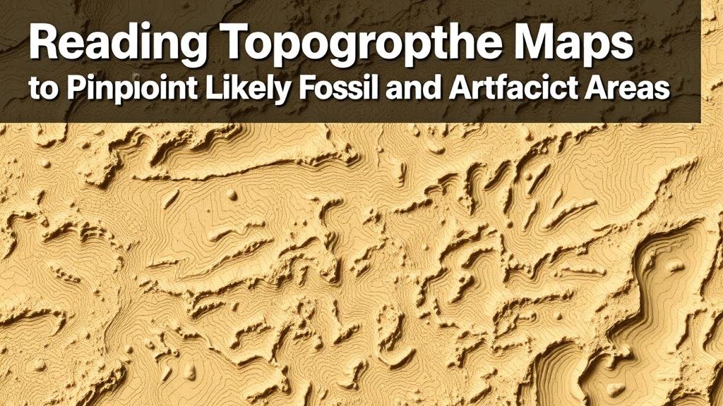
Reading Topographic Maps to Pinpoint Likely Fossil and Artifact Areas
Reading Topographic Maps to Pinpoint Likely Fossil and Artifact Areas
Topographic maps have long served as valuable tools in various fields, including archaeology, geology, and paleontology. By providing detailed representations of terrain features, these maps help researchers identify regions with high potential for fossil and artifact discoveries. The use of topographic maps is particularly relevant for locating sites with historical or biological significance, as they reveal aspects of the landscape that affect sediment deposition, erosion patterns, and human activity throughout history.
The Importance of Topographic Maps
Topographic maps illustrate the Earths surface in three dimensions, showcasing elevations, slopes, and depressions through contour lines and symbols. For paleontologists and archaeologists, these features guide field studies and excavation processes. Various elements of topographic maps are of particular interest:
- Elevation Changes: Areas of high elevation may have been subjected to different weathering processes, leading to varying fossil preservation levels.
- Slope Steepness: Steeper slopes often experience erosion, which can expose fossils and artifacts.
- Water Bodies: Proximity to rivers and lakes can increase the likelihood of finding artifacts, as these areas were often utilized by ancient cultures.
Analyzing Terrain Features
When interpreting topographic maps, specific features are crucial for locating possible fossil and artifact sites. Understanding the interplay between these features allows researchers to make informed predictions about where to excavate.
Areas of Erosion and Sedimentation
Both erosion and sedimentation play significant roles in fossil and artifact preservation. Eroded areas can expose buried items, while sedimentary deposits may entomb them. For example, in the Badlands National Park in South Dakota, the interplay of erosion and sedimentation has led to significant fossil discoveries over the past century. Since the parks establishment in 1978, paleontologists have unearthed a variety of ancient creatures, including Pachycephalosaurus and Triceratops.
Vegetation and Soil Types
Topographic maps correlate with vegetation and soil types, which can also help pinpoint likely fossil locations. For example, areas of heavy vegetation might conceal artifacts, while regions with sandy or silty soils may preserve them better. Archaeological work in the Central Valley of California has demonstrated that particular soil types correspond with higher densities of Native American artifacts, leading to increased excavation success in those areas.
Real-World Applications
Archaeologists and paleontologists routinely use topographic maps to guide their fieldwork. In the fossil-rich areas of the Morrison formation, stretching through parts of Colorado, Wyoming, and Utah, scientists study topographic maps to identify former river channels and floodplains where fossils from the Late Jurassic period are commonly found. In these areas, notable discoveries, including those of Allosaurus and Stegosaurus, have been widely documented.
Plus, in archaeological investigations, researchers studying the Mississippian culture along the banks of the Mississippi River utilize contour maps to reveal elevated mounds that correspond to habitation sites. By focusing on these elevated features, excavators have successfully uncovered extensive ceremonial sites and artifacts dating back to 800 AD.
Methodology for Map Reading
Reading topographic maps effectively requires familiarity with certain methodologies. Key steps include:
- Identifying Contour Lines: Understanding the spacing of contour lines is essential–closely spaced lines indicate steep terrain, while widely spaced lines represent gentler slopes.
- Locating Drainage Patterns: Water flow patterns reveal historical use areas for both ancient civilizations and natural fossil deposits.
- Check Historical Maps: Comparing current maps with historical topographic records can highlight changed landscapes due to human activity and natural events.
Addressing Potential Concerns
While the utility of topographic maps is significant, researchers may encounter challenges. Some map representations may lack detailed survey information or updates, which can affect accuracy. So, combining topographic map analysis with field surveys and reliable databases is crucial for more precise planning. Engaging with local geological experts, utilizing satellite imagery, and employing Geographic Information Systems (GIS) can strengthen research outcomes.
Conclusion
Reading topographic maps is an essential skill for effectively locating likely fossil and artifact areas. By analyzing various terrain features and understanding their significance, researchers can greatly enhance their excavation success. A robust approach includes not only an understanding of the maps themselves but also a willingness to integrate technology and historical context into fieldwork. Continuous learning and adaptation will pave the way for significant discoveries in the realms of paleontology and archaeology.


