Reading Maps With Clues Hidden in Artistic Flourishes and Borders
Understanding the Art of Map Reading: Exploring Clues in Flourishes and Borders
Maps have served as critical navigational tools for centuries, evolving from crude sketches to sophisticated digital interfaces. But, beneath the surface of this utility lies an underappreciated aspect of cartography: the artistic flourishes and borders that often accompany maps. These elements can contain hidden clues and insights that enhance the users understanding of the geography represented. In this article, we will explore how to read maps not just for their geographic content, but for the artistic details that contribute to their narrative.
The Importance of Artistic Elements in Cartography
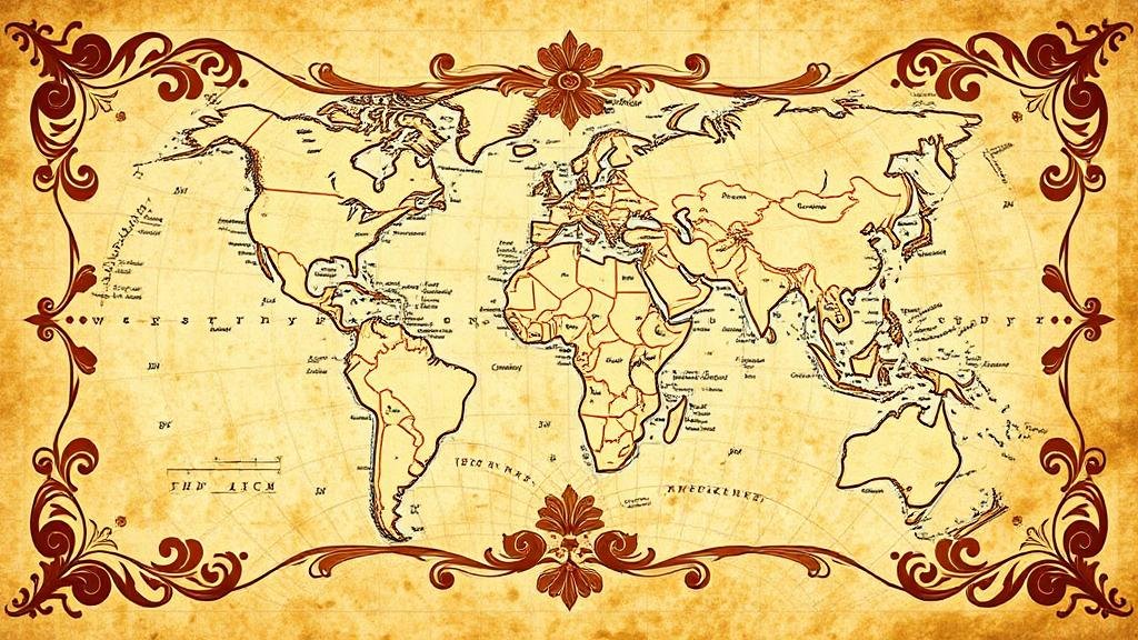
Artistic flourishes and borders in maps do much more than provide aesthetic appeal; they serve specific communicative functions that are essential for interpretation. Historically, these elements have provided context and elevated the cultural significance of maps. For example, the ornate borders of medieval maps often included images of mythical beasts or historical figures, which reflected the worldview of that time.
Modern maps continue this tradition, though in different forms. In city maps, artistic borders may incorporate elements from local architecture or cultural symbols, adding layers of meaning that go beyond mere geographic data. Understanding these features can lead to a deeper appreciation of both the map and the place it represents.
Clues Hidden in Decorative Borders
One of the most intriguing aspects of map design is how decorative borders can contain valuable clues. These clues may hint at neighboring regions, historical events tied to the mapped area, or even the economic resources available in the environment depicted.
- Historical Allusions: Many maps feature illustrations that reference historical or mythical events. For example, a map detailing the exploration of the Americas may depict Christopher Columbus in its border, providing historical context.
- Cultural Significance: Maps of specific regions may incorporate local artwork or indigenous symbols in their borders. A map of a Native American reservation might include traditional motifs that tell the story of the land and its people.
- Geographic Relationships: Decorative elements can indicate nearby landmarks or regions. An old world map with sea monsters may symbolize regions that were unexplored at the time, hinting at dangers or the unknown.
Case Study: The Mappa Mundi
The Hereford Mappa Mundi, a medieval map from the 13th century, serves as a quintessential example of how artistic flourishes contribute to the understanding of geography. This map is not only a tool for navigation but also a depiction of the medieval worldview. The map includes a plethora of elaborate images along its borders, such as mythological creatures and biblical references, which reflect the cultural and religious beliefs of the time.
Also, the geographical layout deviates significantly from modern standards; the East is placed at the top, a common practice in medieval cartography. By analyzing the border illustrations, one can gain insights into the societal values, fears, and knowledge of medieval Europe. As such, the Mappa Mundi is not merely a map, but a snapshot of a bygone era, rich with artistic detail that informs historical understanding.
Practical Applications for Modern Map Readers
For contemporary map readers, recognizing the significance of artistic elements can enrich their navigation and understanding of various locales. Here are a few practical applications:
- Enhancing Travel Experiences: When navigating using a tourist map, take the time to examine the borders and artistic details. These features often highlight attractions and points of interest that may not be well-documented elsewhere.
- Academic Research: Scholars studying history or geography can benefit from a detailed analysis of map art as a primary source. artistic flourishes may reveal information about cultural exchanges and historical narratives.
- Urban Planning: Planners can utilize maps adorned with local artwork to convey a sense of place, fostering community identity and enhancing aesthetic value in urban development.
Conclusion: The Intersection of Art and Geography
Map reading is an art in itself; it requires patience and an eye for detail. Artistic flourishes and borders provide a rich tapestry of information that can deepen ones understanding of geography and culture. By learning to recognize and interpret these elements, anyone can become a more informed and engaged reader of maps.
To wrap up, the next time you encounter a map, take a moment to not only navigate its pathways but to explore the artistry surrounding it. e details may hold the key to a more holistic understanding of location, history, and culture.


