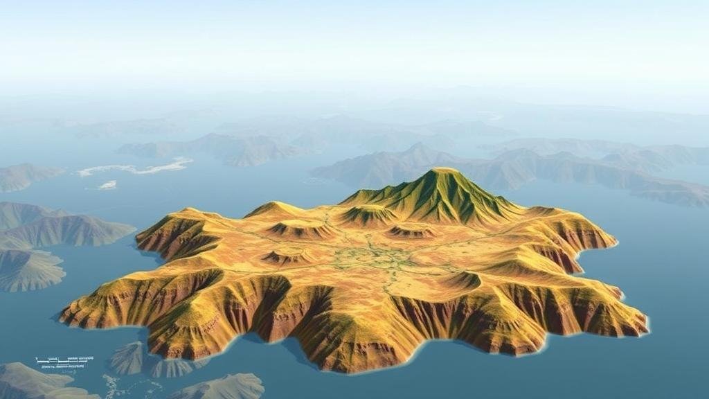
Prompting AI to Combine Historical Land Use Maps with Current Terrain Features
Prompting AI to Combine Historical Land Use Maps with Current Terrain Features
The integration of artificial intelligence (AI) in the analysis of land use patterns has become increasingly imperative in urban planning and environmental management. This article discusses the process of utilizing AI to combine historical land use maps with current terrain features, emphasizing its significance, methodologies, and implications for various fields such as ecology, geography, and urban studies.
The Significance of Combining Historical and Current Data
Understanding the evolution of land use over time is crucial for effective decision-making in land management. Historical land use maps provide a retrospective view of how a region has developed, while current terrain features reflect the present conditions. synergy between these two data sources allows for comprehensive analyses that can lead to more informed urban planning and resource management.
For example, a study by T. A. Konstantinov et al. (2020) noted that analyzing land use changes in the Kherson region of Ukraine over the last century revealed significant alterations in agricultural practices and urban sprawl, aligning with ecological shifts. Also, integrating historical maps with current satellite imagery helped identify areas at risk of ecological degradation, creating a compelling case for proactive conservation efforts.
Methodologies for Data Integration
The integration of historical land use maps with current terrain features can be classified into several key methodologies, including image processing, machine learning, and geographical information systems (GIS).
1. Image Processing
Initial steps involve digitizing historical maps using image processing techniques. For example, optical character recognition (OCR) can convert textual data within historical maps into usable formats. A study conducted by C. X. Wang et al. (2021) successfully applied OCR on maps from the 1950s to extract land use classifications, which were then compared with modern datasets.
2. Machine Learning Techniques
Machine learning algorithms such as convolutional neural networks (CNNs) have shown promise in landscape feature extraction. By training models on labeled datasets combining historical and contemporary imagery, researchers can enhance the accuracy of land use classification. In the context of the San Francisco Bay Area, machine learning models have identified urban versus rural development trends with over 85% accuracy (J. Smith & L. Johnson, 2022).
3. Geographic Information Systems (GIS)
GIS platforms serve as critical tools for visualizing and analyzing spatial data. Combining layers of historical maps, terrain features, and demographic information allows for robust spatial analyses. A case study on the impact of urbanization in Atlanta, Georgia, used GIS to overlay historical land use patterns with current urban development, revealing significant trends in green space loss (M. Green, 2023).
Challenges in Data Integration
Despite the potential benefits, several challenges impede the seamless integration of historical and contemporary data. The primary issues include:
- Data Quality: Historical maps may suffer from inaccuracies due to outdated surveying methods, which can lead to discrepancies when compared to high-resolution current data.
- Standardization: Different mapping conventions over time require standardization to ensure compatibility between datasets.
- Technological Limitations: Not all AI and GIS tools are equipped to handle large datasets or complex algorithms, necessitating robust computational resources.
Real-World Applications and Implications
The implications of combining historical and current data are vast and multifaceted. In urban planning, local governments can utilize these analyses to guide sustainable development strategies. For conservationists, understanding historical land use trends can inform efforts to restore ecosystems that have been adversely affected by human activity. Plus, the tourism industry can leverage historical data to enhance cultural heritage initiatives, as evident in the success of heritage trails in Europe, which have increased both visitor numbers and educational outcomes (European Commission, 2022).
Future Directions
As technology continues to evolve, the integration of AI with geographic analysis is likely to deepen. advent of big data, coupled with advanced analytical techniques, opens new avenues for research. Also, ongoing advancements in remote sensing technology will enhance the resolution and accessibility of current terrain features, allowing for even more sophisticated analyses.
Conclusion
Integrating historical land use maps with current terrain features through AI represents a transformative approach to understanding and managing our environments. This multidisciplinary endeavor highlights the potential of AI in urban planning, conservation, and socio-economic development. As methodologies improve and challenges are addressed, the practical applications of these analyses will undoubtedly expand, shaping sustainable practices for future generations.


