Prompting AI to Build Composite Maps from Multiple Historical Geographic Sources
Prompting AI to Build Composite Maps from Multiple Historical Geographic Sources
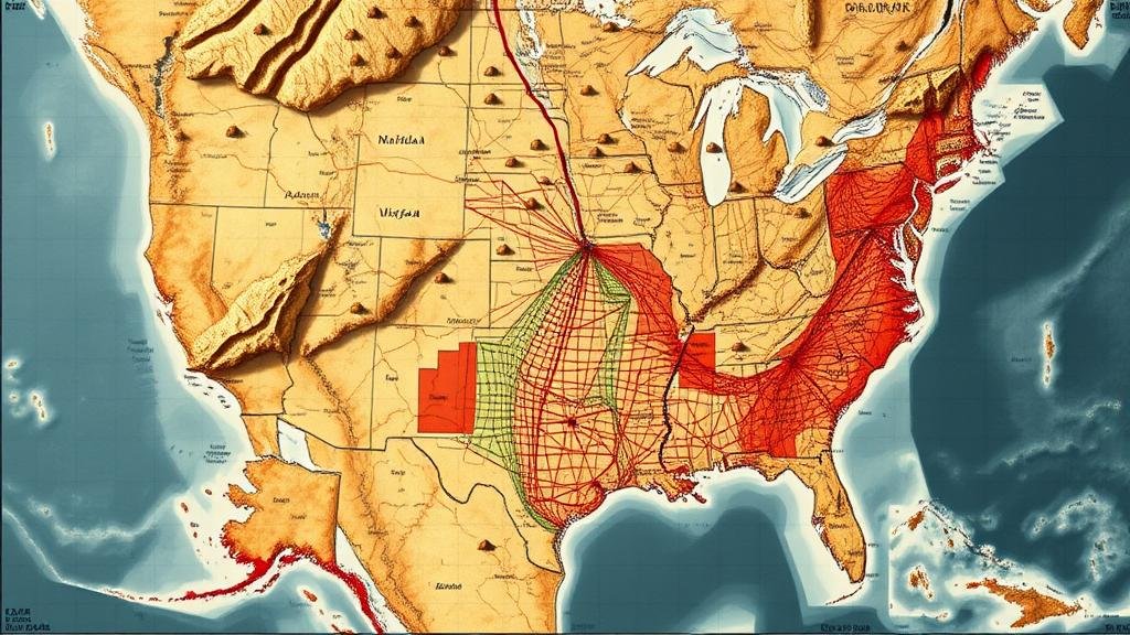
The integration of artificial intelligence (AI) in geographic studies has opened new avenues for research and exploration, particularly in creating composite maps from historical data. These composite maps offer a layered view of geographic changes over time, shedding light on factors such as socio-economic development and environmental transformations. This article examines the methodologies and implications of prompting AI to synthesize multiple historical geographic sources into cohesive visual representations.
The Concept of Composite Mapping
Composite mapping refers to the process of combining various geographic information layers to produce a unified map that illustrates multiple historical data points. This technique is particularly useful in understanding the spatial dynamics of urban development, land use changes, and environmental shifts. For example, by layering historical population density data from the U.S. Census with land use maps from the early 20th century, researchers can identify trends in urban sprawl in cities like Chicago.
AI Techniques in Mapping
AI techniques employed in the creation of composite maps include machine learning algorithms, natural language processing (NLP), and computer vision. e technologies can analyze vast amounts of data from disparate sources, including:
- Historical maps from archives
- Written documents such as land surveys and property records
- Satellite imagery capturing land use over decades
For example, in a project undertaken by Stanford University, researchers utilized neural networks to interpret and digitize over 200,000 historical maps from various archives. This digitization process enabled the restoration of geographic data that had been previously inaccessible, allowing for better analysis and the potential for composite mapping.
Challenges in Using Historical Geographic Sources
Despite the advancements in AI technologies, several challenges remain when utilizing historical geographic sources for composite mapping:
- Data Fragmentation: Historical records are often incomplete or scattered across various locations, making consolidation difficult.
- Inconsistency in Scale and Projection: Different historical maps may use varying scales and projections, complicating layering efforts.
To address these challenges, AI can employ techniques such as reinforcement learning to identify and resolve discrepancies in scale and projection between maps, ultimately ensuring accurate composite mapping.
Applications of Composite Mapping
The ability to create composite maps has practical applications across several fields:
- Urban Planning: Composite maps provide urban planners with historical insights that can guide future development projects.
- Environmental Studies: Researchers can analyze historical land use patterns to understand environmental degradation and conservation efforts.
- Historical Analysis: Historians benefit from visual representations showing how landscapes and settlements have evolved.
An example of composite mapping in urban planning can be seen in the city of San Francisco, where historical land use data was integrated with demographic statistics to assess housing developments impact on the urban environment over the last century.
The Future of Composite Mapping with AI
Looking ahead, the potential for AI-driven composite mapping continues to grow. Innovations in AI algorithms, particularly those focused on deep learning, promise enhanced data integration and accuracy. It is anticipated that as AI technology evolves, the capacity for real-time updating of composite maps will become more feasible, thereby providing dynamic resources for researchers and urban planners alike.
Also, the incorporation of user-generated content and crowdsourced data could provide an even richer dataset for composite mapping, enabling a more comprehensive understanding of historical changes.
Conclusion
Prompting AI to build composite maps from multiple historical geographic sources represents a significant advancement in the fields of geography, history, and urban planning. By synthesizing disparate historical data, AI facilitates insights into complex temporal and spatial phenomena. As technology continues to improve, the integration of AI into the mapping process will undoubtedly transform how we visualize and understand the past, providing invaluable tools for future generations.
Actionable Takeaways
- Researchers should explore existing archives for historical maps and documents as potential sources for composite mapping.
- Urban planners can utilize composite mapping to inform future development while considering historical context.
- Engagement with AI specialists can yield innovative solutions for overcoming data integration challenges in mapping projects.


