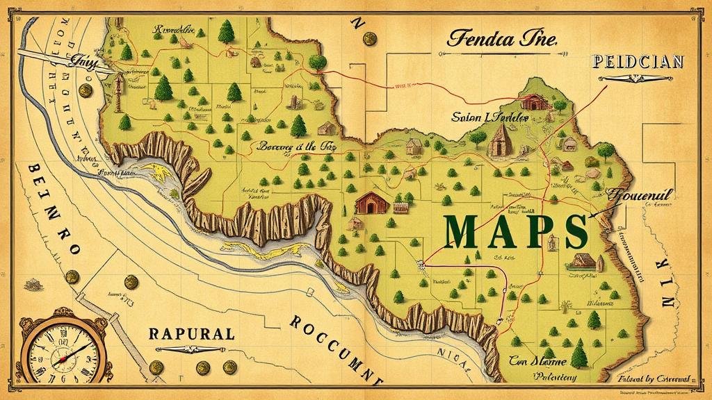
Mining Historical Recreational Maps for Forgotten Scenic Landmark Relics
Mining Historical Recreational Maps for Forgotten Scenic Landmark Relics
The investigation of historical recreational maps has emerged as a pivotal tool for uncovering forgotten scenic landmark relics that once captivated travelers and adventurers alike. These maps not only serve as a record of past recreational practices but also provide insights into cultural, social, and environmental shifts over time. This research article aims to explore the methodologies employed in mining these historical documents, the significance of the findings, and the implications for contemporary landscape preservation and tourism development.
The Evolution of Recreational Maps
Recreational maps have evolved significantly since their inception in the early 19th century. Initially, these maps were created for navigational purposes, often highlighting trails, parks, and notable landmarks. But, as the popularity of outdoor activities grew, particularly in connection with the rise of the National Parks in the United States, these maps began to incorporate more detailed information about scenic routes and cultural attractions.
For example, the first official map of Yellowstone National Park was published in 1871, showcasing not only the geological features but also the routes that adventurers could take to explore the area. Such maps set a precedent for recreational mapping practices, combining aesthetic value with practical navigation.
Methodology of Mining Historical Maps
Mining historical recreational maps involves a systematic approach that combines archival research, digital mapping technologies, and field verification. process can be broken down into several key steps:
- Archival Research: Collecting maps from various sources, including libraries, universities, and online archives. Platforms such as the Library of Congress and the David Rumsey Map Collection are indispensable resources.
- Digitization: Converting physical maps into digital formats to facilitate analysis. Geographic Information System (GIS) technologies play a crucial role in this stage.
- Data Analysis: Examining the digitized maps for significant landmarks, trails, and other recreational features. This often involves comparing historical maps against current geographical data to identify changes over time.
- Field Verification: Conducting on-site investigations to confirm the existence and condition of landmarks identified in the maps, thereby validating the historical data.
Case Study: The Appalachian Trail
One of the most notable examples of mining historical recreational maps can be drawn from the Appalachian Trail (AT), which extends over 2,190 miles from Springer Mountain in Georgia to Mount Katahdin in Maine. The first official guide to the AT was published in 1934, showcasing the trail’s path and various scenic landmarks.
Recent research utilizing historical maps has revealed several forgotten shelters and breathtaking viewpoints that were once popular among hikers but have since faded from memory. For example, an old shelter in the Great Smoky Mountains was found to have substantial historical significance, previously serving as a resting point for hikers in the 1940s. By restoring such landmarks, organizations like the Appalachian Trail Conservancy not only preserve history but also enhance the recreational experience for modern adventurers.
Significance of Findings
The mining of historical recreational maps yields significant benefits. Firstly, it contributes to the preservation of cultural heritage by rediscovering and rehabilitating forgotten scenic landmarks. These relics might serve educational purposes, allowing local communities and visitors to engage with their history.
Secondly, the findings have practical implications for contemporary landscape preservation and tourism development. As communities recognize the value of these landmarks, there is a growing trend toward developing eco-friendly tourism initiatives that focus on historical trails and landmarks. For example, the revival of the historic John Muir Trail in California not only attracts outdoor enthusiasts but also promotes local economic growth.
Conclusion
Mining historical recreational maps for forgotten scenic landmark relics presents an exciting opportunity for cultural preservation and enhancement of recreational experiences. Through diligent research, technology, and community involvement, we can recover and rejuvenate these forgotten treasures, transforming our understanding of natural landscapes and their historical significance. As we strive to integrate these relics into contemporary tourism and preservation efforts, it is vital to balance the needs of conservation with the benefits of economic development.
Future research should continue to explore additional case studies across different regions, further elucidating the potential of historical recreational maps in revealing lost cultural narratives and scenic spaces.


