Mining Historical Millwright Blueprints for Water Mill Relic Locations
Mining Historical Millwright Blueprints for Water Mill Relic Locations
The study of historical millwright blueprints offers a valuable glimpse into the engineering practices and geographical distribution of water mills across various regions. This research article focuses on how these blueprints can be utilized to locate relics of water mills, analyzing historical documents, engineering methodologies, and the broader implications of such studies on cultural heritage preservation.
Introduction
Water mills were integral to the development of early industrial societies, powering everything from grain milling to textile production. Their architectural designs were unique, reflecting technological advancements and local geographical features. Mining historical millwright blueprints can reveal not only the locations of these facilities but also their operational methodologies. The primary objective of this study is to identify historical water mill locations using millwright blueprints as primary resources.
The Importance of Millwright Blueprints
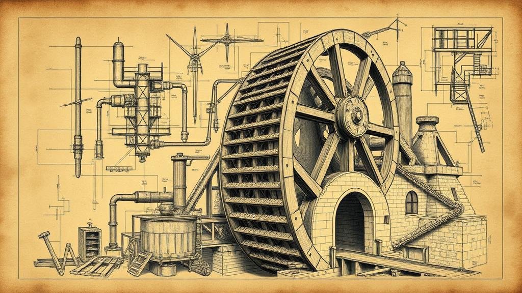
Millwright blueprints serve as crucial documents that detail the construction and operation of water mills. They typically include specifications such as:
- Detailed diagrams of structural components
- System layouts for water flow management
- Descriptions of machinery and tools used
These documents are an essential resource for understanding how water mills were designed to work efficiently within specific environmental contexts. Historical examples, such as the Clinton Mills in New Jersey (established in the late 1700s), provide clear evidence of the significance that water mills held in early American industry.
Methodologies for Mining Blueprints
The process of mining historical millwright blueprints involves several key steps:
- Identifying repositories of historical documents, such as local archives and libraries.
- Analyzing these blueprints to extract relevant data concerning structure and location.
- Geographically mapping identified blueprints to realize patterns in mill placement related to water sources.
For example, research has shown that many water mills were situated near fast-flowing rivers or streams, exploiting hydro energy. A study conducted in Pennsylvania revealed that a significant number of mills were located within a three-mile radius of water sources, thus highlighting the influence of topography on mill placements.
Case Studies
Several case studies illustrate the successful application of this methodology:
Case Study 1: The Grist Mill of Springfield
Located in Massachusetts, this grist mill, operational since 1791, benefited from a blueprint that outlined its waterwheel design and grain processing systems. Analysis of these blueprints, sourced from the Springfield Historical Society, led to the identification of the mills exact location, now a preserved site that offers educational tours.
Case Study 2: The Cotton Mill at Ticonderoga
In New York, the cotton mill at Ticonderoga was pinpointed through blueprints that detailed the water-powered mechanisms used. This historical mill was pivotal in supporting the regions economy during the early 19th century, and efforts to restore its remains align with findings from this archival research.
Limitations and Challenges
There are notable limitations and challenges associated with mining historical blueprints:
- Inconsistencies in blueprint preservation across institutions.
- The potential for missing or incomplete documentation.
- Variability in the level of detail provided in blueprints, which may hinder accurate restoration efforts.
Also, some regions may lack comprehensive blueprints due to the size and scope of original mill operations being inadequately documented.
Cultural and Historical Significance
Understanding the locations of historical water mills contributes to a larger narrative of industrial heritage. These relics provide insight into human ingenuity and adaptation to environmental resources. Plus, preserving identified sites encourages local community engagement and tourism, thus fostering economic revitalization. For example, the establishment of heritage trails in New England linking various water mills has boosted local economies by attracting history enthusiasts.
Conclusion
The process of mining historical millwright blueprints is not only integral to uncovering the locations of water mills but also essential for reinforcing local cultural identity and heritage. As communities continue to emphasize the importance of preserving historical sites, the insights gained from these blueprints will play a critical role in restoration and education efforts.
Actionable Takeaways
For those involved in historical preservation or local studies, the following actions are recommended:
- Engage with local historical societies to access millwright blueprints.
- Use Geographic Information Systems (GIS) to analyze locations systematically.
- Promote educational initiatives that highlight the significance of water mills in local history.
By taking these steps, stakeholders can help ensure that the legacy of water mills continues to be recognized and appreciated in future generations.


