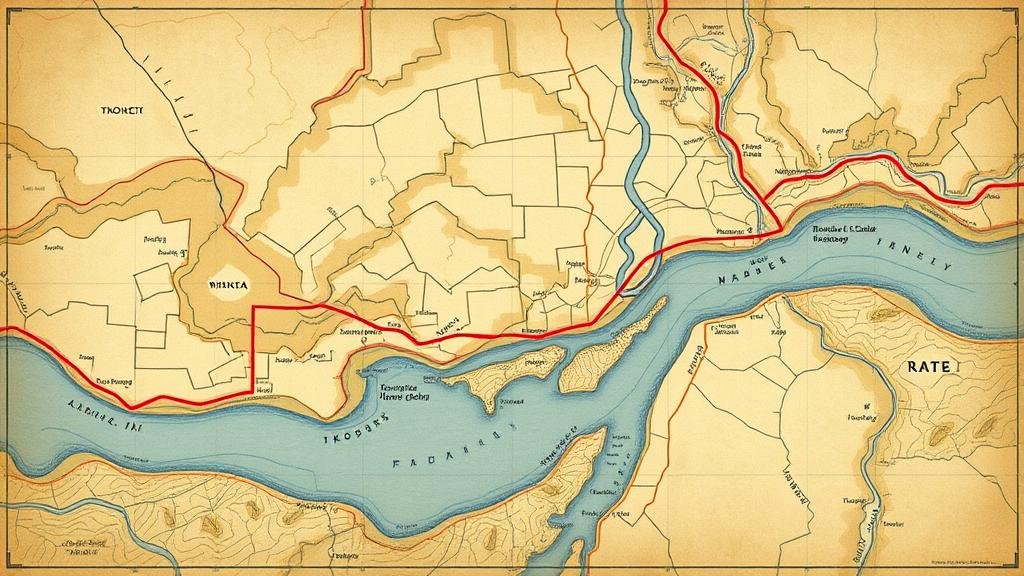
Mining Historical Ferry Route Maps for River Artifact Locations
Mining Historical Ferry Route Maps for River Artifact Locations
The study of historical ferry route maps presents a unique opportunity for archeologists and historians to locate and analyze river artifacts. By utilizing these maps, researchers can trace past human interactions with waterways, revealing significant insights into transportation, trade, and settlement patterns. This article will explore the methodologies employed in mining historical maps, the implications for artifact discovery, and case studies demonstrating the effectiveness of this approach.
Historical Context of Ferry Routes
Ferries played a crucial role in early transportation systems, especially in regions where rivers served as natural barriers. Historical records indicate that ferries were operational in the United States as early as the 1600s. The burgeoning need for efficient travel and commerce prompted the establishment of numerous ferry routes along major rivers such as the Mississippi, Ohio, and Hudson.
For example, the Hudson River ferries, which began service in 1670, connected various settlements and facilitated trade. These routes were vital for both passenger transport and the movement of goods, thereby shaping the economic landscape of the region.
The Role of Historical Maps in Archaeology
Historical maps, much like primary source documents, are invaluable for reconstructing past environments and human activities. e maps often include detailed descriptions of ferry routes and associated landmarks, which can lead to the discovery of artifacts. By analyzing such maps, researchers can identify locations where ferries operated, providing a starting point for archaeological investigation.
- Mapping Techniques: Modern Geographic Information Systems (GIS) allow researchers to overlay historical maps with contemporary geographical data, making it easier to pinpoint areas of interest.
- Spatial Analysis: Using spatial analysis methods, researchers can examine patterns of settlement and transportation that are revealed by ferry routes and assess their influence on artifact distribution.
Methodologies for Mining Historical Ferry Route Maps
Data Collection
The first step in mining historical ferry route maps involves extensive data collection. This can be done using both digital databases and physical archives. Key resources include:
- Library of Congress: Houses various ferry maps and transportation records.
- State Historical Societies: Often have collections of historical maps and documents relevant to specific regions.
Analysis Process
Once maps are acquired, researchers typically engage in a systematic analysis process:
- Map Digitization: Converting physical maps to digital formats to facilitate easier analysis and integration into GIS platforms.
- Feature Identification: Identifying key features, such as ferry crossings and adjacent settlements, which can be linked to potential artifact locations.
- Cross-referencing: Comparing ferry routes with archaeological records to highlight locations that merit further investigation.
Case Studies and Findings
Case Study 1: The Mississippi River Ferries
Research along the Mississippi River has revealed a wealth of artifacts associated with historical ferry operations, dating back to the early 19th century. By examining maps from this period, researchers uncovered information on the locations of ferry landings, which correlated with significant archaeological findings, including tools, pottery, and trade goods.
The integration of historical maps with archaeological data indicated that certain areas along the river likely served as hubs of activity, supporting theories regarding the economic dynamics of river trade.
Case Study 2: The Ohio River Route
The Ohio River served as a critical artery for commerce and movement in the 1700s and 1800s. Historical ferry route maps indicate strategic crossing points that were frequented by settlers and traders. Investigations in these areas have led to the discovery of numerous artifacts, including remnants of boats and personal items, which provide insight into daily life and trade in the region.
For example, excavations near the historic ferry site at Point Pleasant have yielded significant finds, including Native American pottery and colonial trade beads, reaffirming the importance of this location in historical trade routes.
Conclusion and Actionable Takeaways
The mining of historical ferry route maps is a promising frontier in the field of archaeology, providing avenues for discovering river artifacts that can contribute to our understanding of historical human behavior and interactions with waterways. As highlighted through case studies, careful analysis of these maps can lead to significant archaeological discoveries.
Researchers and enthusiasts looking to engage in similar studies should consider the following actionable steps:
- Access digital libraries and state archives to gather historical maps.
- Use GIS software for mapping and spatial analysis.
- Collaborate with archaeologists to explore identified sites of interest.
By embracing these methodologies and insights, future research can continue to unearth the rich tapestry of human history as recorded by our interactions with rivers and ferries.


