Mapping Unmarked Roads Using Old County Planning Documents
Introduction
The mapping of unmarked roads has become an essential task for urban planners, historians, and ecologists. An underutilized yet valuable resource for this purpose lies in old county planning documents. These documents, often archived and forgotten, can provide critical insights into historical infrastructure, settlement patterns, and land use changes over time.
Historical Context
Many counties in the United States have maintained planning documents tracing back to the early 20th century. For example, the Calaveras County General Plan established in 1971 documented roads and land use changes up until that point, encompassing earlier county records dating back to the mid-1800s.
Another pertinent case is Santa Cruz County, where archived planning documents from as early as 1930 reveal unmarked roads that played a significant role in local transportation and commerce. These roads often fell into disuse but were vital during their peak.
Methodology
This research employs a mixed-methods approach, utilizing both qualitative and quantitative analysis of archival documents. The steps involved include:
- Identifying and collecting old county planning documents.
- Digitizing documents to facilitate geographical information system (GIS) mapping.
- Cross-referencing old maps with current satellite imagery.
- Conducting field surveys to verify the existence of unmarked roads.
Archival Research
Archival research involves searching through county clerk offices, local historical societies, and state archives. e locations archive original land-use plans, zoning maps, road maps, and official documents that can unveil the evolution of local infrastructures.
GIS Mapping
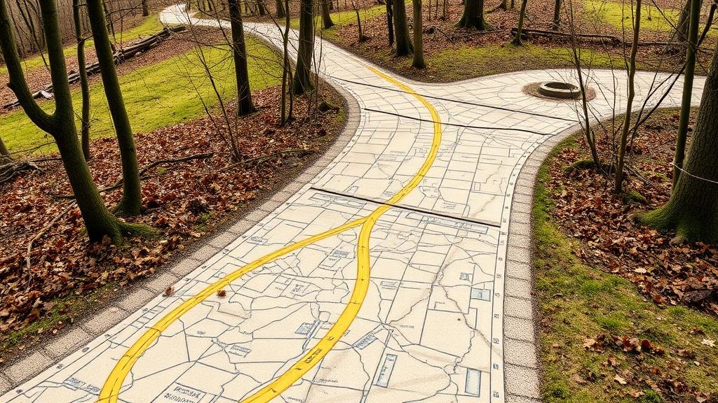
Using geographic information systems, planners can incorporate these historical documents into modern mapping tools. GIS offers the ability to overlay historical data onto contemporary maps, revealing roads that may not be officially recognized today.
For example, researchers found evidence of an unmarked road in Humboldt County, California, which was documented in 1954 but has since been re-purposed for ecological conservation and no longer appears on modern maps. GIS mapping revealed its path, illustrating the importance of historical data integration.
Case Studies
Calaveras County
In Calaveras County, researchers analyzed the 1971 General Plan alongside older documents. Comparison with 2019 satellite imagery demonstrated the location of multiple unmarked roads formerly used for logging operations.
Santa Cruz County
Santa Cruz Countys planning documents from the 1930s revealed an extensive network of now-unmarked roads that connected agricultural sites. Field surveys confirmed that many of these paths still exist, albeit obscured by vegetation or private property.
Challenges and Limitations
While valuable, the use of old planning documents comes with challenges:
- Inconsistencies in document accuracy can lead to errors in mapping.
- Changes in land ownership and land use can obscure historical roads.
- Access to archived documents may be limited due to location or preservation status.
Conclusion
The mapping of unmarked roads using old county planning documents is not only feasible but vital for understanding historical land use and infrastructure development. With the ongoing advancements in GIS technology, these archival documents can be leveraged to create comprehensive maps that inform current planning initiatives and preserve historical knowledge.
Actionable Takeaways
For urban planners, historians, and researchers interested in utilizing old county planning documents, the following steps are recommended:
- Engage with local historical societies to access archived materials.
- Use GIS tools for integrating historical and contemporary data.
- Conduct field verification to enhance accuracy.
- Document findings to contribute to regional planning databases and historical records.


