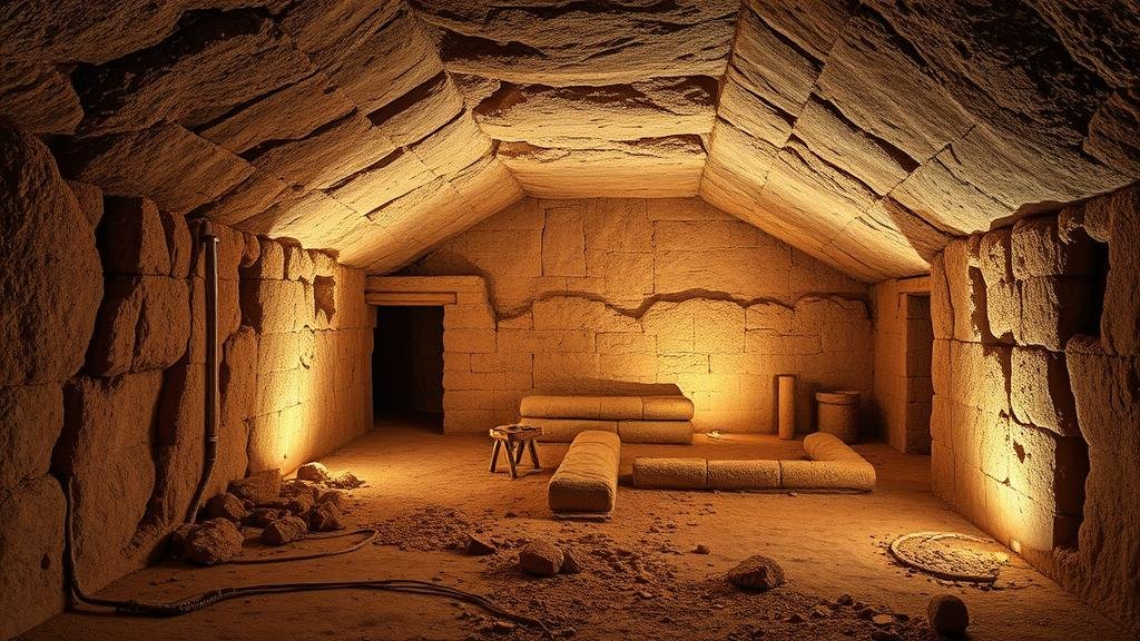
Mapping uncharted ancient tunnel systems with ground-penetrating radar.
Mapping Uncharted Ancient Tunnel Systems with Ground-Penetrating Radar
The exploration of ancient civilizations often reveals intricate networks of tunnels that serve a variety of purposes, such as transportation, storage, or even religious significance. In recent years, ground-penetrating radar (GPR) has emerged as a pivotal technology for uncovering these subterranean features without invasive excavation. This article delves into the methods, applications, and implications of using GPR to map uncharted ancient tunnel systems.
What is Ground-Penetrating Radar?
Ground-penetrating radar is a geophysical method that utilizes radar pulses to image the subsurface. By sending electromagnetic waves into the ground and measuring the reflected signals from subsurface structures, GPR can identify objects, changes in material, and voids like tunnels.
- GPR operates typically at frequencies between 10 MHz and 2.6 GHz.
- Higher frequency waves can provide better resolution but have a shallower penetration depth.
This makes GPR particularly effective for archaeological investigations because it can reveal structures without disturbing the site, crucial for preserving historical locations.
Case Studies of GPR in Archaeology
A notable application of GPR occurred in 2021 in the ancient city of Petra, Jordan. Researchers employed GPR to explore the site’s extensive network of tunnels and conduits, previously obscured by centuries of sand and rock. The results indicated multiple layers of construction, suggesting that the city had more complex urban planning than previously understood.
Another significant example took place in 2018 at the ancient Maya site of Tikal, Guatemala. A team utilized GPR to uncover a previously uncharted underground system believed to support a vast irrigation network. This discovery emphasized the sophistication of Mayan civilization in managing water resources.
The Technology Behind GPR
The advanced technology of GPR employs several components that work together to provide detailed subsurface images:
- Transmitter: Sends radar signals into the ground.
- Receiver: Captures the signals reflected back from subsurface features.
- Computer Software: Processes the radar data into interpretable images, allowing researchers to visualize the layout of tunnels.
These systems can be mounted on various platforms, including ground vehicles, drones, or even handheld devices, offering flexibility depending on the site conditions.
Benefits of Using GPR for Archaeological Exploration
The benefits of GPR in uncovering ancient tunnels are numerous:
- Non-invasive: GPR allows archaeologists to map subsurface features without excavation, preserving the integrity of the site.
- Cost-effective: Compared to traditional excavation methods, GPR can save costs and time by identifying key areas of interest for further study.
- High-resolution data: Advances in GPR technology have led to enhanced resolution, providing clearer images of tunnels and surrounding features.
Challenges and Limitations
Despite its advantages, GPR does have limitations. The effectiveness of GPR can be impacted by:
- Soil Composition: Highly conductive materials, such as clay or saturated soils, can absorb radar signals, making them less effective in those conditions.
- Depth of Tunnels: While GPR can penetrate deep into the ground, deep or complex tunnel systems may require additional investigative methods.
These challenges necessitate careful site selection and an understanding of local geological conditions to optimize the use of GPR.
The Future of GPR in Archaeological Research
As GPR technology continues to evolve, future applications may include faster data acquisition and improved software algorithms for better imaging and analysis. Researchers are also exploring combining GPR with other technologies, such as laser scanning and artificial intelligence, to enhance data interpretation capabilities.
One exciting development could be the use of machine learning algorithms to automatically analyze radar data and detect anomalies indicative of uncharted tunnels.
Actionable Takeaways
For archaeologists and researchers interested in mapping ancient tunnel systems, the following takeaways can provide direction:
- Invest in high-quality GPR equipment and training to maximize data collection and interpretation.
- Conduct preliminary surveys to assess soil conditions and determine the feasibility of using GPR on specific sites.
- Collaborate with multidisciplinary teams, including geophysicists and software developers, to enhance the efficacy of GPR investigations.
Mapping uncharted ancient tunnel systems with ground-penetrating radar represents a significant advancement in archaeological methodologies, offering a non-invasive window into our past while preserving historical integrity. By embracing this technology, researchers can unlock new dimensions of understanding ancient civilizations.


