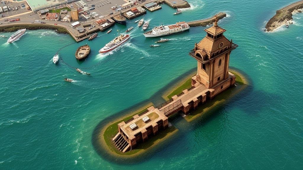
Mapping Lost Maritime Beacon Locations for Coastal Artifact Finds
Mapping Lost Maritime Beacon Locations for Coastal Artifact Finds
The identification and mapping of lost maritime beacons hold significant implications in both the realms of archaeology and maritime navigation. These beacons, often constructed to guide vessels along perilous shores or to mark hazardous shoals, can provide vital data in understanding historical maritime routes and coastal settlements. This study aims to explore the methodologies utilized in locating these beacons, the historical context surrounding their disappearance, and their potential in the discovery of coastal artifacts.
Historical Context of Maritime Beacons
Maritime beacons have been an integral part of coastal navigation since antiquity. For example, the Pharos of Alexandria, one of the Seven Wonders of the Ancient World, served as a guiding light for sailors navigating the waters of the Mediterranean Sea. Its initial construction is estimated to have occurred around 280 BCE. Over the centuries, various beacons were erected in coastal areas worldwide, each serving a unique purpose based on the specific challenges of the maritime environment.
But, as technology advanced, many of these beacons fell out of use or were destroyed due to natural disasters or human activities. For example, the ill-fated 1906 earthquake in San Francisco led to the destruction of several coastal navigational aids, illustrating the fragility of these historical structures.
Methodologies for Mapping Lost Beacons
Locating lost maritime beacons typically involves a combination of historical research, geographic information systems (GIS), remote sensing technologies, and underwater archaeology.
- Historical Research: Scholars often begin by examining historical texts and navigational charts that mention the beacons. For example, records from the British Admiralty provide detailed accounts of beacon placements along the coasts of England.
- Geographic Information Systems (GIS): GIS applications allow researchers to analyze and visualize data related to historical maritime routes and potential beacon sites. Water depth, coastal erosion, and sedimentation patterns can be explored to predict the possible locations of these beacons.
- Remote Sensing Technologies: Techniques such as LiDAR (Light Detection and Ranging) and sonar mapping are employed to scan coastal areas and identify submerged or eroded structures.
- Underwater Archaeology: Divers and underwater archaeologists may then investigate identified locations, employing excavation techniques and artifact analysis to confirm the presence of historical beacons.
Case Study: The Lost Beacons of the North Atlantic
One compelling case involves the search for lost beacons along the North Atlantic coastline. Between 1800 and 1850, numerous beacons were installed to guide vessels through the perils of the North Atlantic, specifically near the New England coastline. Research indicates that several of these structures have since disappeared due to erosion and storms.
A recent study conducted in 2022 focused on the coastline of Cape Cod, Massachusetts, where archival documents indicated the presence of beacons such as the Stage Harbor Light, which was first lit in 1880. Using GIS mapping techniques, researchers established potential locations where submerged parts of the beacon may remain, possibly yielding artifacts that provide insight into maritime practices of that era.
Real-World Applications
The mapping of lost maritime beacon locations offers valuable insights beyond academic knowledge. It can assist in:
- Maritime Heritage Conservation: By identifying and preserving forgotten maritime structures, we enhance our understanding of coastal history and maritime heritage.
- Tourism Development: Historical markers can be established at these sites, promoting educational tourism and cultural appreciation.
- Environmental Management: Understanding the historical context can inform current coastal management strategies, ensuring sustainable development while respecting historical significance.
Conclusion
Mapping lost maritime beacon locations is not merely an academic exercise but a crucial endeavor that bridges our historical understanding with contemporary applications. By leveraging modern technologies alongside historical research, it is possible to uncover the pasts forgotten narratives, aiding in the preservation of maritime heritage while enriching our current knowledge. Future research should continue to focus on integrating interdisciplinary approaches encompassing archaeology, environmental science, and technology to further enhance our historical maritime understanding.


