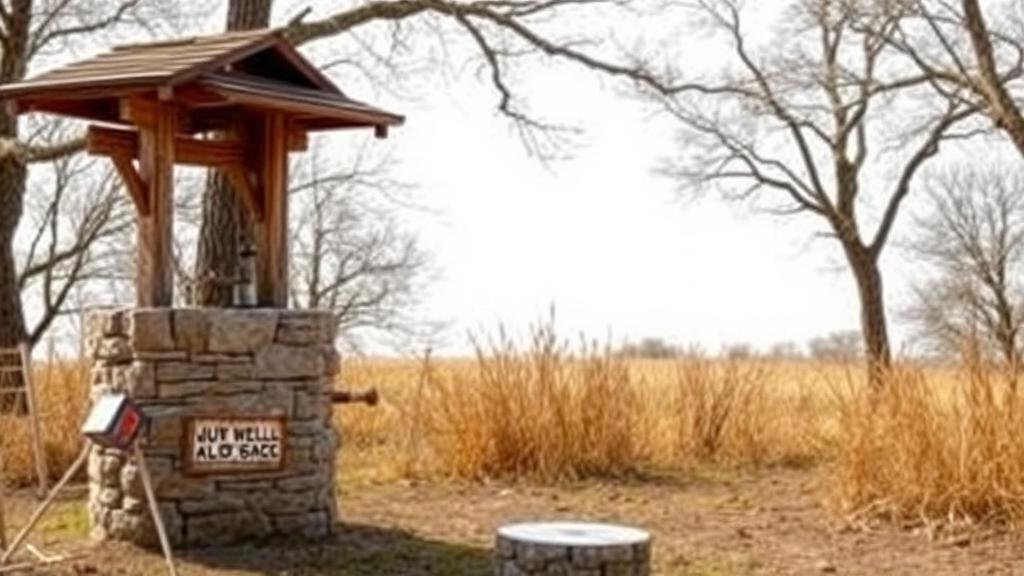
Mapping Lost Community Wells for Rural Water Management Relics
Mapping Lost Community Wells for Rural Water Management Relics
The importance of sustainable water management in rural communities cannot be overstated. One of the overlooked components of effective rural water management has been the identification and documentation of lost community wells. This article explores the historical significance of these wells, the methodologies for mapping them, their implications for water resource management, and the potential of integrating technology in these efforts.
Historical Context of Community Wells
Historically, community wells have been vital sources of fresh water, particularly in rural settings. e wells served as focal points for social and economic activities within communities. For example, in the late 19th and early 20th centuries, rural communities in the United States primarily relied on hand-dug wells for potable water, with some communities recording their well counts in local governance documents.
Research indicates that in the 1930s, more than 5 million wells in the U.S. served rural populations (National Ground Water Association, 2020). But, as infrastructure evolved–leading to increased use of mechanized pumps and municipal water systems–many of these community wells fell into disuse and were eventually forgotten.
Mapping Methodologies
Mapping lost community wells involves various methodologies that leverage both historical records and modern technology. While traditional mapping methods used hand-drawn maps and local testimonies, recent advancements utilize Geographic Information Systems (GIS) and global positioning systems (GPS) for accurate mapping.
Steps involved in the mapping process include:
- Data Collection: Gather historical data from municipal records, local archives, and oral histories from elder community members.
- GIS Integration: Input the collected data into GIS software to create visual representations of the well locations.
- Field Surveys: Conduct field inspections to verify the condition and exact location of historical wells.
- Community Involvement: Engage local stakeholders in the mapping process to ensure accuracy and relevance of the data collected.
Implications for Water Resource Management
The identification and documentation of lost community wells have significant implications for rural water management. These wells can serve as potential backup water sources during droughts or in emergencies when primary sources fail. In areas such as the Midwestern United States, where wells may be deeper and historically managed by the community, restoring access to these sources can greatly enhance resilience against water scarcity.
Plus, understanding the hydrology of these lost sources can aid in better water management practices. According to the U.S. Geological Survey, it is estimated that nearly 80% of rural households rely on private wells (USGS, 2021). efore, by mapping and reviving these wells, communities can foster sustainable practices that significantly contribute to local water security.
Technological Integration
Technological advancements have revolutionized the way community wells are mapped and restored. The use of drones equipped with LiDAR (Light Detection and Ranging) technology allows for extensive surveying of large geographic areas, providing detailed topographical data that can highlight potential well sites previously obscured by vegetation or landscape changes.
Also, mobile applications can facilitate community participation in data collection by enabling residents to report well locations and conditions directly. The integration of such technologies not only enhances mapping accuracy but also builds community awareness and engagement in local water management efforts.
Conclusion and Actionable Takeaways
To wrap up, mapping lost community wells represents a vital component of sustainable water management in rural areas. By employing a combination of historical research and modern technology, communities can uncover invaluable water resources that have been forgotten over time. Actions that should be advocated for include:
- Collaboration with local governments and historical societies to gather relevant data.
- Training community members in the use of GIS technologies to empower local stewardship of water resources.
- Establishing programs for the restoration and maintenance of identified wells to ensure their sustainability.
Ultimately, integrated efforts in mapping and restoring these community wells can enhance rural resilience and ensure access to safe and reliable water resources for future generations.
References:
- National Ground Water Association. (2020). Wells: An Overview. Retrieved from [NGWA Website]
- U.S. Geological Survey. (2021). Groundwater Use. Retrieved from [USGS Website]


