Mapping Historical River Routes for Untapped Gold Deposits
Mapping Historical River Routes for Untapped Gold Deposits
The extraction of gold has played a pivotal role in human history, fueling economies and shaping societies. While extensive mining operations have occurred in various regions, many historical river routes remain underexplored for their potential gold deposits. This article delves into the methodologies and technologies used in mapping these routes and highlights the significance of historical data in locating untapped gold resources.
Understanding Historical River Routes
Historical river routes refer to the waterways that were once primary channels for trade, transportation, and, notably, gold mining. Many prospectors relied on rivers for access to deposits during gold rushes in the 19th century. Understanding the dynamics of these waterways is essential for modern-day geologists and prospectors in their search for gold deposits.
The Role of Hydrology in Gold Deposits
Hydrology, the study of water and its properties, plays a crucial role in the distribution of gold deposits. Gold is often found in alluvial deposits, which form when the metal erodes from primary sources and is transported by river currents. e deposits are typically located in:
- Riverbanks
- Inside bends of rivers
- Downstream from ancient mining operations
Understanding where rivers have flowed in the past helps in identifying potential areas that could harbor undiscovered gold. For example, the Klondike Gold Rush in Canada showcased how critical understanding river dynamics was to the success of miners.
Technological Advancements in Mapping
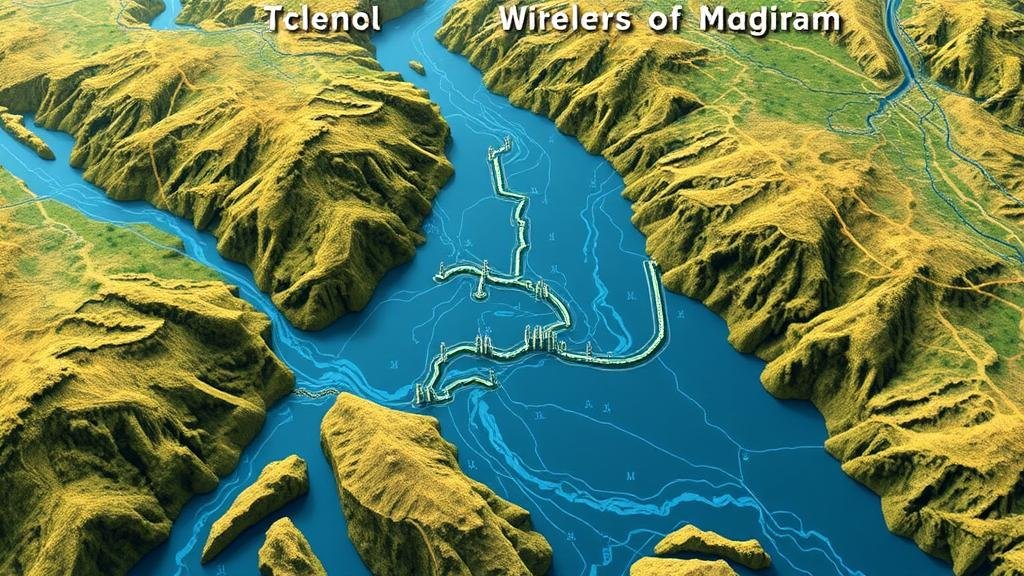
The evolution of technology has significantly enhanced the ability to map and analyze historical river routes for gold deposits. Some of the prominent technologies include:
- Geographical Information Systems (GIS): GIS allows researchers to analyze spatial data and visualize historical landscapes, including ancient river paths.
- Remote Sensing: Satellite imagery and aerial photography can capture changes in land use and help identify deposit-rich areas.
- Geophysical Surveys: Techniques such as ground-penetrating radar and electromagnetic surveys provide insight into sub-surface geology.
For example, a study conducted in California utilized GIS technology to reconstruct the historical river networks used during the Gold Rush, revealing previously unknown areas of potential gold accumulation.
Case Studies: Successes in Mapping Historical Rivers
Several real-world examples demonstrate the effectiveness of mapping historical river routes in discovering gold deposits:
- The Feather River in California: Historical records indicated substantial mining activity along the Feather River. Recent technological mapping efforts uncovered previously unexplored sections with promising gold indicators.
- The Amazon Basin: Researchers employed satellite imagery to map ancient river systems, leading to the discovery of new alluvial gold deposits that were previously overlooked.
These case studies highlight the value of integrating historical accounts with modern mapping methods, proving that collaboration across disciplines often yields the best results.
Potential Challenges and Questions
The process of mapping historical river routes for untapped gold deposits is not without challenges. Prospectors may encounter:
- Environmental Regulations: Modern environmental protections may limit access to certain areas, complicating extraction efforts.
- Historical Accuracy: The reliability of historical data can sometimes be questionable, leading to potential misinterpretations of locations.
Engaging with local historians and leveraging historical maps can mitigate these concerns. Also, employing a multidisciplinary approach combining geology, hydrology, and history may enhance accuracy in locating deposits.
Actionable Takeaways
Those interested in exploring historical river routes for gold deposits should consider the following strategies:
- Use GIS software to analyze historical terrain and river paths.
- Incorporate remote sensing techniques to gather data on landscape changes.
- Collaborate with environmental and historical experts to navigate regulatory landscapes.
By leveraging advanced technologies and interdisciplinary research, prospectors can uncover the hidden potential of historical river routes, leading to new discoveries in the gold mining sector.


