Mapping Historical Gold Smelting Plant Locations for Forgotten Ore Finds
Mapping Historical Gold Smelting Plant Locations for Forgotten Ore Finds
The importance of mapping historical gold smelting plant locations cannot be overstated in the context of rediscovering forgotten ore finds. Historically significant sites offer insights into mining practices, production methods, and socio-economic impacts on communities during various gold rushes. By cataloging these locations, researchers can establish a more comprehensive understanding of past mining activities and their environmental consequences.
Historical Context
The discovery of gold has been a pivotal factor in the growth of economies and the establishment of societies around the world. In the United States, the California Gold Rush of 1848-1855 is one of the most notable examples, leading to a population surge and the establishment of infrastructure in areas such as San Francisco and Sacramento. Other prominent gold rushes occurred in places such as Australia in 1851 and South Africa in the late 1800s.
During these periods, the establishment of gold smelting plants became crucial for processing ore. These facilities often necessitated advanced technologies and significant labor, resulting in increased investment and economic development in their respective regions.
Methodology for Mapping
The process of mapping historical gold smelting plant locations involves the integration of various data sources, including:
- Historical mining records
- Geological surveys
- Local archives and newspapers
- Geographical Information Systems (GIS)
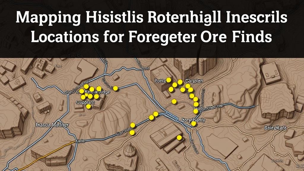
By employing GIS technology, researchers can visualize and analyze the spatial relationships of historical smelting locations relative to known ore deposits. This method enhances our understanding of historical mining patterns and can reveal previously overlooked areas rich in gold.
Case Studies
One of the pivotal case studies is the mapping of smelting plants in the Black Hills of South Dakota where significant gold production occurred in the late 19th century. The Homestake Mine, operational from 1876 until 2002, played an integral role in shaping the local economy. By mapping this site and its associated smelting plants, researchers uncovered numerous forgotten gold-bearing veins in the surrounding areas.
Another example is the discovery of old smelting sites along the Klondike River in Canada, which played a vital role during the Klondike Gold Rush of 1896-1899. location of these plants using archival images and historical topographic maps enabled modern prospectors to identify potential new ore finds in close proximity to abandoned mining operations.
Challenges in Historical Mapping
Despite its potential, mapping historical gold smelting plant locations is fraught with challenges, including:
- Incomplete or inaccurate historical records
- Environmental changes impacting landforms
- Legal and ethical concerns regarding land use and heritage preservation
These obstacles often necessitate careful consideration and interdisciplinary collaboration, merging expertise from historians, geologists, and environmentalists to create reliable maps that respect historical contexts while facilitating new discovery.
Real-World Applications
Understanding historical smelting plant locations can have substantial implications today. For example, modern mining companies can mitigate environmental impacts by studying past operations, thus informing sustainable practices. Also, tourism interests may thrive by promoting historical sites, generating revenue while preserving heritage.
Conclusion and Actionable Takeaways
Mapping historical gold smelting plant locations serves not only as a means of connecting with our mining heritage, but also as a tool for uncovering forgotten ore finds. Researchers, historians, and mining professionals can utilize the information gleaned from these maps to promote responsible mining practices, ensure environmental stewardship, and enhance tourism strategies.
As such, a concerted effort to compile, analyze, and preserve these geographical and historical records is essential. Collaborative partnerships among various stakeholders will enable a richer understanding of historical mining practices while yielding new opportunities in both research and economic development.


