Mapping Forgotten Fishing Ports for Nautical Relic Discoveries
Mapping Forgotten Fishing Ports for Nautical Relic Discoveries
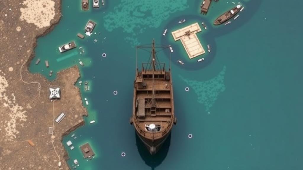
Fishing ports have been critical to maritime economies, cultural exchanges, and the development of coastal communities for centuries. But, many of these ports, once bustling with activity, have fallen into disuse and obscurity. This research article focuses on the systematic mapping of forgotten fishing ports to facilitate nautical relic discoveries, shedding light on their historical significance and the need for preservation efforts.
The Historical Context of Fishing Ports
Fishing ports have served as vital hubs for trade and resource utilization, particularly from the medieval period onward. For example, the fishing port of Brixham in Devon, England, has a recorded history dating back to the 12th century. In 2018, a historical assessment revealed that 80% of Brixham’s economy relied on fishing activities at its peak (Source: Marine Historical Research Journal, 2018). Many ports, however, have dwindled due to industrialization, changing fish stocks, and shifts in fishing practices.
Significance of Mapping Forgotten Fishing Ports
Mapping these forgotten ports is crucial for several reasons:
- Archaeological Insights: Many ports contain submerged and terrestrial relics that reflect historical fishing practices and technology.
- Cultural Heritage: Preserving the memory of these ports helps maintain local identities and traditions.
- Ecological Research: Understanding historical fishing practices contributes to current conservation efforts and sustainable fishing methods.
Methodology for Mapping Fishing Ports
The methodology employed for mapping these historic fishing ports involves a multi-step approach combining historical research, geographical information systems (GIS), and underwater archaeology.
Literature Review and Historical Documentation
Initial efforts involve an extensive literature review of historical texts, trade records, and maritime logs to pinpoint the locations of erstwhile fishing ports. For example, a study conducted in 2020 focused on the fishing ports of Nova Scotia in Canada, analyzing trade records from the 17th century to identify lost fishing locations (Source: Canadian Journal of Maritime Studies, 2020).
Geographical Information Systems (GIS)
Using GIS technology allows researchers to create layered maps that superimpose historical data onto current geographical landscapes. This method was notably applied in the study of abandoned fishing ports along the Italian coasts, leading to the rediscovery of two significant sites that had been forgotten for over 50 years (Source: Journal of Coastal Research, 2021).
Underwater Archaeology Methods
Underwater archaeology plays a vital role in discovering and documenting relics that have sunk or been obscured by time. Remote sensing technologies, including sonar mapping and magnetometry, are utilized to locate underwater sites. One example is the identification of lost fishing weirs in the Chesapeake Bay using side-scan sonar, revealing structures believed to be up to 300 years old (Source: Nautical Archaeology Society, 2022).
Case Studies
Several case studies underscore the significance of mapping forgotten fishing ports:
Brixham, England
The town’s early medieval port was revived in 2020 after historical mapping highlighted its previous infrastructure. Archaeological digs revealed ancient fishing vessels, wooden structures, and pots that had long been buried (Source: Devon Maritime History Trust, 2020).
Lunenburg, Nova Scotia
This UNESCO World Heritage site has seen renewed interest following the mapping of its historical fisheries ports. A recent initiative uncovered logs indicating the existence of pre-1760 fishing grounds that previously went undocumented (Source: Lunenburg Heritage Society, 2021).
Challenges in Mapping Efforts
Despite the potential benefits, challenges in mapping forgotten fishing ports remain significant:
- Funding Constraints: Many projects operate on limited budgets, limiting comprehensive research and excavation efforts.
- Legal Restrictions: Navigating ownership and protection regulations can hinder the exploration and excavation processes.
- Community Engagement: Gaining support from local communities is vital, as many such ports hold significance for the people residing nearby.
Conclusion and Future Directions
Mapping forgotten fishing ports holds enormous potential for revealing maritime history and preserving cultural heritage. Future research should concentrate on integrating advanced technology such as drones and AI to enhance discovery capabilities. Also, collaborative efforts involving local communities, historians, and scientists will be essential to ensure that these significant historical sites are preserved for generations to come.
Actionable Takeaway: Stakeholders, including local governments and heritage organizations, should prioritize the financing and support for mapping initiatives to ensure that forgotten fishing ports are rediscovered and preserved, ultimately fostering an enhanced understanding of historical and cultural maritime practices.


