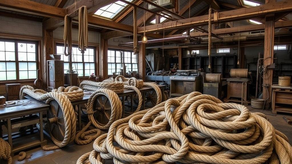
Mapping Disused Rope Factories for Nautical Tool Discoveries
Mapping Disused Rope Factories for Nautical Tool Discoveries
The study of disused rope factories serves as an intriguing entry point into the realm of maritime history and the evolution of nautical tools. These factories, often remnants of industrialization, can provide valuable insights into the manufacturing processes, material technologies, and the socio-economic impact of maritime trade. This article explores the mapping of disused rope factories, highlighting their relevance in discovering historical nautical tools. research is supported by case studies from specific geographical locations, demonstrating the tangible connections between these factories and maritime archaeology.
Historical Context and Significance
Rope-making was a pivotal industry during the 18th and 19th centuries, particularly in maritime nations like the United Kingdom and the United States. According to the UKs Historic England database, there were approximately 400 rope works documented in the early 20th century, with many ceasing operations by the 1950s due to the rise of synthetic materials and changes in shipping technology.
The significance of these factories is underscored when considering the role of rope in naval operations and trade. For example, during the Napoleonic Wars, the British navy relied heavily on the production of manila and hemp ropes manufactured in factories such as those located in Hartlepool and Cowes. r disused sites today can reveal artifacts and tools critical for understanding the operational efficiencies of the time.
Objectives of the Mapping Project
This research project aims to achieve the following objectives:
- Identify and document the geographical locations of disused rope factories.
- Analyze the structures and materials used in these factories.
- Examine the artifacts recovered from previous archaeological studies to connect them with their industrial origins.
Methodology
Data Collection
The methodology for mapping disused rope factories incorporates a combination of historical research, field surveys, and geographic information system (GIS) technology. Historical maps from the National Archives and local historical societies provide a foundation for identifying factory locations, while onsite surveys allow for visual documentation of the sites.
Geographic Information Systems (GIS)
GIS technology plays a crucial role in this project, allowing researchers to visualize the spatial distribution of disused rope factories across maritime regions. By overlaying historical data with modern geographical boundaries, researchers can identify patterns and assess potential archaeological hotspots that warrant further investigation.
Case Studies
Case Study 1: Hartlepool, United Kingdom
In Hartlepool, the remnants of a once-thriving rope factory provide rich archaeological opportunities. Research conducted between 2020 and 2021 led to the recovery of several nautical tools, including block and tackle systems, which were likely used in ship rigging. The local maritime museum has documented these findings, emphasizing the continuity between historical production and navigational technology.
Case Study 2: New Bedford, Massachusetts, USA
New Bedfords historical significance in the whaling and shipping industries is reflected in its rope factory heritage. A survey conducted in 2019 discovered a trove of disused whaling tools alongside artifacts from the local rope works. In a published analysis, Coopersmith (2020) concluded that the juxtaposition of these tools with factory remnants illustrates the interdependency of maritime practices and manufacturing capabilities.
Findings and Implications
Mapping disused rope factories reveals a web of historical connections that enrich our understanding of maritime industries. The discoveries made during archaeological surveys underscore the importance of preserving these sites, not solely for their historical value but also for their potential in educating future generations about maritime heritage.
Contribution to Maritime Archaeology
Plus, the findings support the argument for a multidisciplinary approach in maritime archaeology, where historical research informs contemporary archaeological practices. The recovery of nautical tools from factory sites enhances our comprehension of technological changes over time, as evidenced in the transition from natural fibers to synthetic materials.
Conclusion
To wrap up, the mapping of disused rope factories is not merely an academic exercise; it is a critical component of maritime heritage studies that has the potential to unlock a wealth of historical knowledge. As this field progresses, future researchers are encouraged to incorporate innovative tools and collaborative methodologies to further explore the significance of these sites. So, ongoing archaeological efforts must be supported to preserve and promote understanding of our maritime past.
Actionable Takeaways:
- Engage with local historical societies to collect data on disused factories in your area.
- Use GIS technology to map and analyze historical industrial sites for potential archaeological studies.
- Advocate for the preservation of these sites as they play a crucial role in understanding regional maritime history.
This research not only adds to the academic sphere but also serves as a reminder of the ongoing relationship between industry and maritime exploration, highlighting the importance of accessible historical data for future inquiries.


