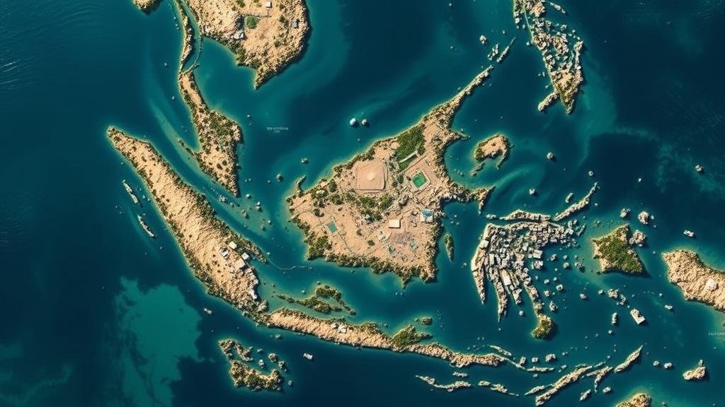
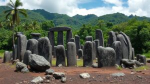
Mapping coastal areas lost to rising seas in prehistory to find submerged cities in Southeast Asia.
Mapping Coastal Areas Lost to Rising Seas in Prehistory
The rising sea levels attributed to climate change are not just a contemporary issue; they also represent a significant challenge faced by ancient civilizations in Southeast Asia. Recent archaeological research coupled with advanced mapping technologies is uncovering submerged cities that offer insights into the past and emphasize the need for proactive approaches to modern climate threats. This article delves into the methodologies used to map these ancient coastal areas and the implications for understanding lost civilizations.
The Context of Sea Level Rise in Prehistoric Southeast Asia
Historically, Southeast Asia has been characterized by its dynamic landscape, with fluctuating sea levels impacting human settlement patterns. During the last Ice Age, approximately 20,000 years ago, sea levels were significantly lower, allowing for extensive habitation of land that is now submerged. When the ice began to melt around 12,000 years ago, the resulting rise in sea level led to the inundation of coastal areas, effectively drowning landscapes that once thrived with human activity.
Advanced Mapping Technologies
Modern technology plays a crucial role in identifying and mapping submerged cities. Techniques such as LiDAR (Light Detection and Ranging), sonar mapping, and satellite imagery allow researchers to visualize and analyze submerged topographies. For example, LiDAR has been particularly effective in penetrating vegetation cover to reveal the underlying landforms that once hosted human settlements.
- LiDAR: This technology uses laser light to measure distances to the Earths surface, generating detailed three-dimensional maps that can uncover structures hidden beneath forest canopies.
- Sonar Mapping: By using sound waves to detect underwater features, sonar mapping has successfully identified ancient river systems and potential archaeological sites.
- Satellite Imagery: Satellites equipped with high-resolution cameras provide an extensive overview of coastal changes and can track erosion, sediment deposition, and shifts in land use.
Notable Discoveries in Southeast Asia
Several underexplored regions, particularly around the coasts of Indonesia, Thailand, and Vietnam, have yielded significant archaeological finds. One such example is a submerged city off the coast of Indonesia, discovered in the Java Sea, believed to date back to the early Hindu civilization. These finds suggest that the region was once a bustling trade hub linking Southeast Asia with India and beyond.
In Thailand, sonar mapping of the Gulf of Thailand has revealed remnants of structures indicative of advanced urban planning. Preliminary dating suggests these ruins could be over a thousand years old, adding depth to our understanding of the historical interconnectedness of coastal civilizations.
Implications for Climate Change and Modern Society
The continued exploration of these submerged cities serves a dual purpose: it enriches our understanding of human history while warning us about potential future scenarios triggered by climate change. According to the Intergovernmental Panel on Climate Change (IPCC), global sea levels could rise by over 1 meter by 2100 if current trends continue. This data is particularly pertinent for nations heavily reliant on their coastal zones for agriculture, commerce, and habitation.
As modern engineers and architects face similar challenges today, insights from these ancient civilizations can inform better urban planning and disaster preparedness strategies. lessons learned from understanding past ecosystems can guide sustainable development to mitigate the impacts of sea level rise.
Actionable Takeaways
- Invest in sustainable coastal management practices to mitigate flooding risks.
- Embrace technology such as LiDAR and sonar mapping to assess and protect archaeological sites.
- Use historical data and archaeological insights to inform modern urban planning and climate resilience strategies.
Mapping coastal areas lost to rising seas is a crucial step not just in recovering our past, but in preparing for the future. By continuing to explore submerged civilizations, we can glean insights that may help safeguard modern communities from the relentless forces of nature.


