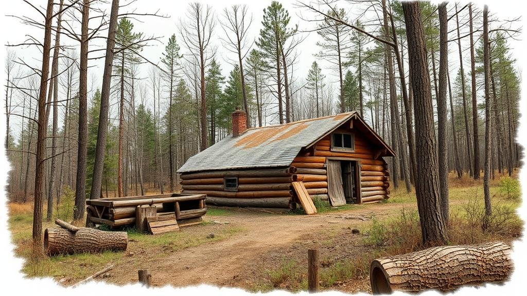
Mapping Abandoned Civilian Conservation Corps Camps for Lost Tools and Equipment
Mapping Abandoned Civilian Conservation Corps Camps for Lost Tools and Equipment
The Civilian Conservation Corps (CCC), established in 1933 as part of President Franklin D. Roosevelts New Deal, played a significant role in environmental conservation and job creation during the Great Depression. Over the course of its operation until 1942, CCC camps were established across the United States, engaging millions of men in public works projects. But, many of these camps were abandoned after the program ended, leaving behind not just structures, but potentially valuable tools and equipment. This article explores the methodology for mapping abandoned CCC camps to locate lost tools and equipment, highlighting historical context, the significance of recovery efforts, and practical applications of the findings.
Historical Context of the CCC
The CCC commenced operations in 1933 and concluded in 1942, officially disbanding when the United States entered World War II. The program was designed to bolster the environment and provide work for young men, particularly in rural areas suffering from unemployment. Corps undertook various initiatives, including reforestation, soil conservation, and the construction of public parks and facilities. By the end of its tenure, the CCC boasted over 4,500 camps nationwide, with a significant portion operating in national forests and parks.
Importance of Mapping Abandoned Camps
Mapping these abandoned CCC camps is crucial for several reasons:
- Preservation of History: Each camp represents a unique piece of American history that contributes to our understanding of 20th-century conservation efforts.
- Resource Recovery: Tools and equipment left behind can be restored for modern use, supporting conservation and restoration projects today.
- Environmental Impact: Identifying abandoned sites enables appropriate remediative actions to mitigate any environmental hazards caused by derelict materials or structures.
Methodology for Mapping CCC Camps
The process of mapping abandoned CCC camps involves several key steps:
- Historical Research: Use archives, such as the National Archives and Records Administration (NARA), to gather historical data on camp locations and operations.
- Geographic Information Systems (GIS): Employ GIS tools to create visual representations of the camps based on historical data layered with modern geographic maps.
- Field Surveys: Conduct ground surveys with a focus on locating camp remnants and any tools or equipment that may have been abandoned.
- Community Engagement: Involve local communities familiar with the history of the CCC camps, as they may provide invaluable oral histories and anecdotal evidence.
Case Studies
Several case studies exemplify the successful mapping and recovery of resources from abandoned CCC camps:
The Catoctin Recreation Area (Maryland)
Established in the 1930s, the Catoctin Recreation Area housed a CCC camp that contributed to the construction of park facilities. Recent collaborative efforts involving local historical societies and universities have helped map the remnants of the camp. e efforts revealed several tools that were restored and are now used for ongoing park maintenance.
The Pisgah National Forest (North Carolina)
In Pisgah National Forest, extensive mapping has been undertaken with the help of modern technology, including aerial imagery and LiDAR scanning. This project led to the discovery of significant equipment caches, including old hand tools and machinery, which were subsequently cataloged for rehabilitation projects in the park.
Challenges in Mapping and Recovery
Despite promising advancements in the mapping and recovery efforts, significant challenges remain:
- Degradation of Sites: Many CCC sites have significantly deteriorated due to weather and time, complicating recovery efforts.
- Inaccessibility: Some camps are located in remote areas that are difficult to access without proper equipment and expertise.
- Legal and Regulatory Issues: Obtaining permission to excavate or recover items from abandoned camps may involve navigating complex legal frameworks.
Conclusion and Actionable Takeaways
Mapping abandoned Civilian Conservation Corps camps offers the potential for uncovering lost tools and equipment while preserving valuable historical narratives. Through diligent historical research, advanced GIS technology, and community engagement, we can begin to recover resources that may contribute to modern conservation efforts. Future projects should focus on creating comprehensive databases of mapped camp locations, publicly accessible archives of recovered tools, and fostering partnerships between state agencies and local historical organizations.
Ultimately, the lessons learned from CCC camps can serve not only as a link to our past but also as a guide for sustainable practices moving forward. The reclamation of tools and equipment stands as a testament to resourcefulness and respect for our historical heritage.


