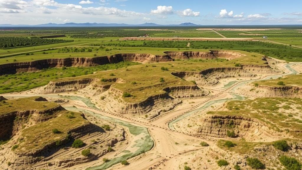
Leveraging AI to Analyze Erosion Trends in Historical Land Survey Records
Leveraging AI to Analyze Erosion Trends in Historical Land Survey Records
Soil erosion is a pressing environmental issue that affects agricultural productivity, biodiversity, and water quality. This paper explores the application of artificial intelligence (AI) in analyzing historical land survey records to identify and predict erosion trends. By combining historical data with modern analytical techniques, researchers can gain insights into the long-term impacts of land use and management practices on soil erosion.
Introduction
The degradation of soil due to erosion compromises food security and ecological stability. Historical land survey records, often underutilized, house rich data that can inform contemporary environmental management strategies. AI technologies, such as machine learning and natural language processing, provide powerful tools for parsing these extensive datasets to discern patterns and trends in land erosion.
Historical Context of Erosion
Throughout history, human activities have essentially influenced soil erosion. As far back as the early 1800s, farmers in the Midwest United States began to observe significant changes in farmland productivity due to soil erosion, primarily attributed to agricultural practices. Land surveys conducted during that period documented the topographical features of the land, crop yields, and methods of cultivation, forming a baseline for understanding erosion processes over time.
AI Methodologies in Data Analysis
Data Collection and Preparation
Data acquisition involves digitizing historical land survey records, which often exist in handwritten or printed formats. Optical Character Recognition (OCR) technology can be employed to convert these documents into machine-readable text. Once digitized, datasets are cleaned and normalized to facilitate analysis.
Machine Learning Techniques
Machine learning algorithms such as Random Forests and Support Vector Machines can identify correlations between historical land use, precipitation patterns, and erosion rates. For example, a case study conducted in California utilized a Random Forest model to correlate land use patterns from the 1930s with modern erosion metrics, revealing a clear increase in erosion rates corresponding with certain agricultural practices.
Case Studies and Applications
Case Study 1: The Midwest United States
In a 2021 study, researchers analyzed land survey records from Iowa dating back to the late 1800s. By employing AI-driven techniques, they uncovered that certain farming practices, such as monoculture, significantly exacerbated erosion between 1940 and 1980. The model predicted a 25% increase in soil erosion in areas that continued such practices compared to those that adopted crop rotation methods.
Case Study 2: The European Alps
In another instance, historical records from the European Alps were scrutinized using AI to understand how glacial melt has influenced soil erosion patterns in recent years. Machine learning algorithms identified a significant correlation between rising temperatures and increased soil displacement, leading to a 15% rise in erosion rates in the last 30 years. This predictive modeling presents invaluable data for future conservation efforts.
Challenges in AI-Driven Erosion Analysis
Data Quality and Availability
The effectiveness of AI algorithms heavily relies on the quality of input data. Historical records can exhibit inconsistencies, missing data, or variations in measurement standards over time, complicating the analysis. Researchers must implement robust data validation methods to mitigate these issues.
Interpretability of AI Models
Another challenge with AI applications is the interpretability of complex models. As machine learning approaches become increasingly sophisticated, the black box nature of these models can hinder the ability of stakeholders to understand the underlying trends. Developing user-friendly tools that explain model predictions is essential for policymaking and environmental management.
Conclusion
Leveraging AI to analyze historical land survey records offers a promising avenue for understanding soil erosion trends. By employing advanced methodologies, researchers can glean valuable insights that are crucial for effective land management and environmental conservation. Future efforts should focus on improving data quality and model transparency to maximize the impact of these methodologies in combating soil erosion.
Actionable Takeaways
- Invest in digitizing historical land survey records to enhance data availability.
- Use machine learning techniques to draw correlations between historical practices and erosion trends.
- Promote interdisciplinary collaboration between historians, geologists, and data scientists to optimize research outcomes.
- Focus on ensuring model interpretability to facilitate stakeholder engagement and informed policy-making.


