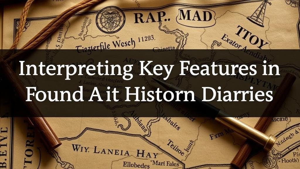
Interpreting Key Features in Treasure Maps Found in Historic Diaries
Interpreting Key Features in Treasure Maps Found in Historic Diaries
Treasure maps have long captured the imagination of historians, treasure hunters, and curious individuals alike. These artifacts, often found tucked away in historic diaries, offer glimpses into the adventurous spirit of their creators. But, to unlock the secrets of these maps, one must understand their key features and the context in which they were created. This article delves into the fundamental elements of interpreting treasure maps discovered in historic diaries, providing insights into their significance, symbolism, and practical applications for researchers and enthusiasts.
The Historical Context of Treasure Maps
To effectively interpret treasure maps, one must first appreciate the historical context surrounding their creation. Many treasure maps originated during periods characterized by exploration, colonization, and piracy, particularly in the 16th to 18th centuries. Diaries from this era frequently document the exploits of individuals who sought wealth and adventure in unknown territories.
For example, the diary of Captain William Kidd, a notorious pirate, contains not only his navigational notes but also sketches that resemble treasure maps. e records highlight how maps were often used as a means of communication and covert instruction among sailors, indicating that the interpretation of such maps requires an understanding of both historical events and pirate lore.
Key Features of Treasure Maps
When interpreting treasure maps, several key features should be examined closely:
- Landmarks: Landmarks such as mountains, rivers, and man-made structures serve as critical reference points. Their accuracy can provide insights into the geographical knowledge of the mapmaker.
- Symbols: The use of symbols–such as skulls, X marks, or depictions of animals–often conveys deeper meanings, representing dangers, treasures, or significant locations.
- Scale and Orientation: Understanding the scale can help determine distances and relative positioning, while orientation (compass rose) assists in identifying direction.
Analyzing Symbolism in Treasure Maps
Symbols are an integral part of treasure maps and can offer crucial insights when interpreted accurately. For example, an X usually signifies the treasures location, while other symbols may indicate warnings or obstacles. analysis of these symbols can benefit from comparative studies across different historical maps.
Take the example of the 17th-century Cursed Isle Map, where symbols such as a compass and a keyhole were used alongside geographical features. Scholars studying the map found parallels in various pirate documents, suggesting that certain symbols were standard code among treasure seekers.
Using Technology and Techniques in Map Interpretation
Modern technologies, such as Geographic Information System (GIS) software and digital imaging, have transformed treasure map analysis. These tools allow researchers to overlay historic maps with current geographic data, revealing changes over time. For example, researchers examining the maps created by members of the Spanish Main can utilize GIS to assess how coastal erosion or urban development has altered the key landmarks marked on these maps.
Also, techniques like infrared photography and multispectral analysis can uncover hidden layers and markings on antique maps. This was demonstrated in the research conducted on the Bermuda Triangle Map–infrared scanning revealed additional markings that suggested alternate treasure locations, prompting renewed interest in the region.
Case Studies of Treasure Map Interpretation
Several notable case studies illustrate the successful interpretation of treasure maps:
- The Oak Island Mystery: The discovery of a treasure map in a diary attributed to a early 19th-century explorer led to decades of excavations on Oak Island, Nova Scotia. Historians and archaeologists used their interpretative skills to piece together the map’s often cryptic symbols, igniting a global interest in the islands potential treasures.
- The Cayman Islands Treasure Map: A map found within the diary of a sailor involved in the golden age of piracy has been crucial in uncovering several shipwrecks and sunken treasures in the Caribbean. analysis revealed connections between historical ships’ routes and known pirating sites.
Practical Applications for Contemporary Researchers
Contemporary historians, archaeologists, and treasure hunters can apply the principles of treasure map interpretation in various ways:
- Field Research: Incorporating historical maps into field research allows for targeted excavations, increasing the chances of finding undiscovered artifacts.
- Public Interest and Education: Museums and educational institutions can leverage historical maps in exhibits to teach visitors about the complexities of exploration and treasure hunting.
- Collaborative Studies: Historians can collaborate with geographers and digital scientists to create more accurate representations of treasure maps, fostering cross-disciplinary research.
Conclusion
Interpreting key features in treasure maps found in historic diaries is a multifaceted endeavor involving historical context, symbol analysis, and modern technology. By employing these interpretative frameworks, researchers not only contribute to our understanding of past explorations but also engage in a dynamic conversation with contemporary treasure hunting. The study of treasure maps encapsulates the spirit of inquiry and adventure, reminding us of the wealth–both tangible and intangible–that can be discovered through careful analysis and collaboration.


