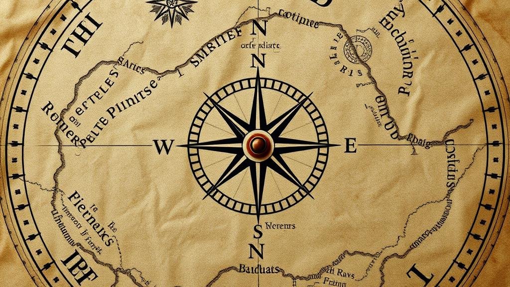
Interpreting Compass Variations Used on Maps by Pirate Navigators
Interpreting Compass Variations Used on Maps by Pirate Navigators
Pirate navigators of the Golden Age of Piracy, roughly from the late 17th century to the early 18th century, faced significant challenges when it came to navigation on the open seas. One such challenge was the interpretation of compass variations, also known as magnetic declination. Understanding how to read and use these variations was crucial for their survival and success. This article delves into the intricacies of compass variations, the methods employed by pirate navigators, and the implications of these navigational techniques.
The Basics of Compass Use and Variations
At its core, a compass serves as a navigational tool, indicating magnetic north as opposed to true north. Compass variations arise from a number of factors, including geological formations, magnetic fields, and the uneven distribution of iron on the Earths surface. For navigators, particularly pirates who relied on quick escape routes and precise heading adjustments, understanding these variations was fundamental.
Compass variation is defined as the difference between magnetic north and true north, typically expressed in degrees east or west. For example, if a compass indicates a bearing of 30 degrees, but the magnetic variation is 10 degrees east, the navigator must adjust their heading to align with true north, recognizing that their actual heading is 20 degrees true. This adjustment is critical during high-stakes situations, where even a slight miscalculation could lead to disaster.
Historical Context of Pirate Navigation
During the height of piracy, navigational techniques were often passed down through experience rather than formal training, leading to a rich oral tradition. Sailors relied heavily on compasses, maps, and celestial navigation, and pirates were no exception. used a variety of maps, often notated by previous explorers, rich in detail regarding coastlines, known hazards, and trade routes.
One notable example of effective navigation among pirates is Edward Teach, commonly known as Blackbeard. He effectively utilized magnetic compasses to navigate the treacherous waters off the coasts of North America and the West Indies. Blackbeard’s knowledge of local geography and understanding of compass variations would have allowed him to outmaneuver naval forces and other pirates alike.
Determining Magnetic Variation
Understanding compass variations requires a knowledge of how to ascertain both magnetic declination and its changes over time. Navigators would often consult published nautical charts, which included magnetic variation lines. These charts depicted where the magnetic north varied from true north based on geographic locations and changing magnetic forces.
Past navigators, including pirates, typically monitored three key elements:
- Local Magnetic Variation: This represented the specific deviation noted for a given region and could shift over decades.
- Annual Change: Navigators were aware that magnetic variation would change incrementally each year, requiring ongoing adjustments.
- Use of Landmarks: Local landmarks were often utilized as reference points to uphold integrity in navigation and correct deviations influenced by local magnetic fields.
Case Study: The Caribbean Seas
The Caribbean was a notorious area for pirate activity and featured complex navigational challenges due to the myriad islands and shifting magnetic variations. For example, the island of Hispaniola was known to have a magnetic declination of approximately 5 degrees west at certain points in time. Pirate navigators familiar with these variations had an advantage over their less experienced counterparts.
Research indicates that pirates often used unique methods, such as celestial navigation combined with magnetic compass readings, to ensure accuracy. This multifaceted approach enabled pirates to increase their chances of successful raids and escapes. The ability to interpret and adjust for compass variation ensured that pirate ships could effectively navigate through treacherous straits and evade naval patrols.
Implications for Modern Navigation
While the navigational challenges faced by pirate navigators may seem obsolete today, they provide valuable insights for modern navigators and cartographers. In contemporary navigation, understanding the principles of magnetic variation remains essential, especially for maritime activities in remote areas with limited infrastructure.
Modern GPS systems account for magnetic variation, and tools like software for route planning continuously update navigational data. This connection highlights the importance of the historical methods employed by pirates in improving current maritime navigational practices.
Conclusion
The interpretation of compass variations by pirate navigators was a crucial skill that directly influenced their success on the high seas. By mastering compass navigation and understanding how to adjust for magnetic declination, pirates could efficiently plot their courses amidst perilous waters. This historical underpinning serves not only as a testament to the ingenuity of these navigators but also as a foundation for today’s navigational techniques. Aspiring navigators can take away the value of continuous learning and adaptation in navigation, utilizing both historical knowledge and modern technology.


