Interpreting Compass Roses and Distance Calculations on Treasure Maps
Interpreting Compass Roses and Distance Calculations on Treasure Maps
Treasure maps have long fascinated adventurers and historians alike, captivating imaginations with tales of forgotten riches waiting to be uncovered. Understanding the fundamental elements of these maps–specifically, compass roses and distance calculations–is crucial for any aspiring treasure hunter. This article will provide an in-depth look at how to interpret compass roses, distance measurements, and the significance of these tools in successfully navigating treasure maps.
The Importance of Compass Roses
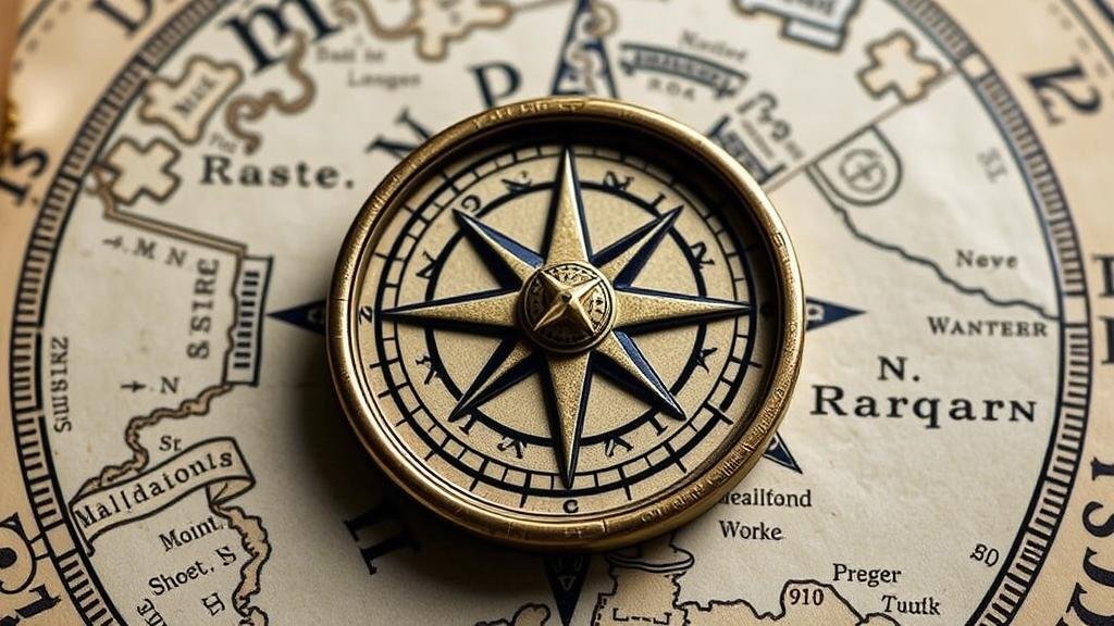
A compass rose, also known as a windrose, is a figure on a map or nautical chart that displays the orientation of the cardinal directions–north, east, south, and west–as well as their intermediate points. This visual guide is integral to correct navigation and understanding the layout of mapped areas.
The cardinal directions are typically represented as follows:
- N for North
- E for East
- S for South
- W for West
Most compass roses feature markings for northeast (NE), southeast (SE), southwest (SW), and northwest (NW), providing a total of eight basic directions. More detailed compass roses may even include subdivisions for precise navigation.
For example, in a treasure map depicting an island, a compass rose might indicate specific landmarks, such as a cave to the northwest. Understanding this orientation is essential for aligning the map with the physical terrain and successfully navigating toward those landmarks.
Understanding Distance Calculations
Alongside the compass rose, distance measurements are a critical component of treasure maps. e maps often employ various units such as feet, miles, or nautical miles to establish distances between points of interest. Understanding the scale of a map is paramount. Most treasure maps include a scale bar, providing a visual representation that correlates map measurements to actual distances.
For example, a map with a scale of 1:1000 indicates that 1 unit on the map represents 1000 of the same units in reality. If a treasure map shows a treasure location as being 3 centimeters away from a notable landmark on the scale of 1:1000, the actual distance would be:
3 cm x 1000 = 3000 cm, or 30 meters.
This kind of detail helps treasure hunters effectively plan their routes and assess the time required to reach their destinations.
Mapping Techniques in Historical Context
The art of creating and interpreting maps can be traced back centuries, from ancient mariners to explorers of the New World. Historical treasure maps often employed rudimentary yet effective techniques for illustrating distance and direction. For example, pirate maps from the 17th century frequently used landmarks and compass roses to guide the savvy treasure-seeker.
A prime example of this is the famous map of Captain Kidd, which showcased various compass markings and visual cues that referenced real-world locations. Successful treasure hunters had to meticulously analyze these elements to pinpoint treasure locations accurately.
Real-World Applications
Understanding compass roses and distance calculations extends beyond the realm of treasure hunting; it has various applications in fields such as geography, urban planning, and expeditionary navigation. Professionals in these fields frequently utilize geographical information systems (GIS) alongside historical maps to ascertain land use and resource management strategies effectively.
Also, modern technology allows adventurers to recreate historical maps digitally. By using software that incorporates GPS coordinates, treasure hunters can overlay traditional maps onto contemporary maps for enhanced accuracy and navigation efficiency.
Actionable Takeaways
- Familiarize yourself with cardinal directions and distance measurement units to interpret treasure maps accurately.
- Use scale bars effectively to determine actual distances from map measurements.
- Research historical mapping techniques to enhance understanding and make informed navigational decisions.
- Employ modern technology, such as GIS and GPS, to elevate your treasure hunting experience.
To wrap up, the interpretation of compass roses and distance calculations is pivotal in navigating treasure maps. By mastering these elements, treasure seekers can enhance their chances of success and embark on adventures rooted in history and exploration.


