Identifying Rocks or Boulders That Match Symbols in Treasure Maps
Identifying Rocks or Boulders That Match Symbols in Treasure Maps
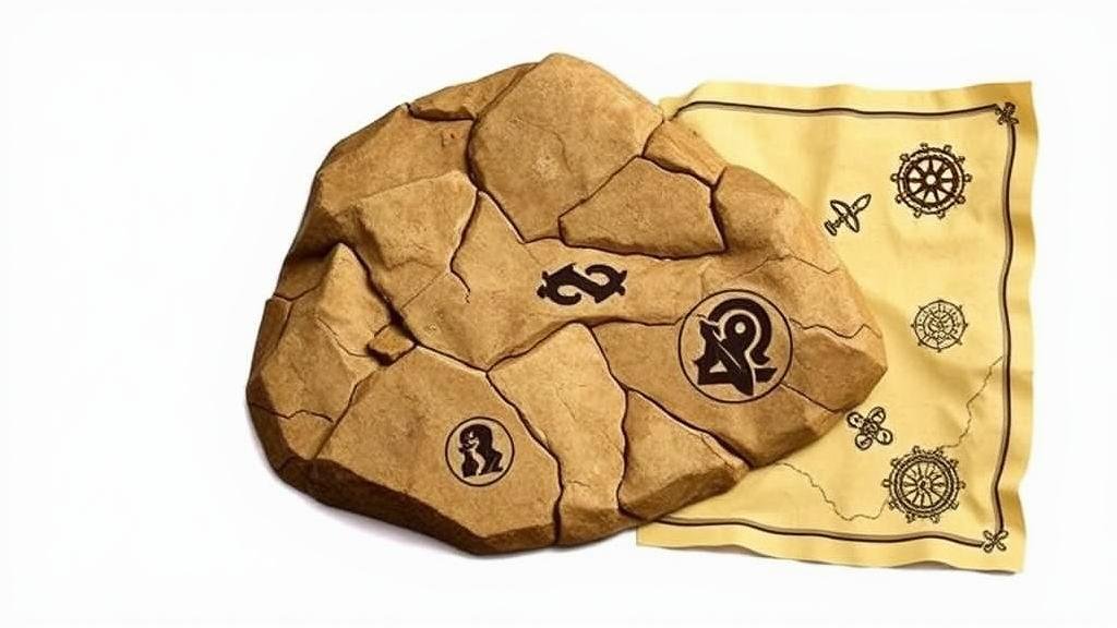
Treasures hidden by the sands of time often come with clues encapsulated in symbols, many of which reference natural features such as rocks or boulders. This article explores the significance of identifying geological formations that correspond to these symbols on treasure maps, providing both a scholarly framework and practical applications for treasure hunters and enthusiasts. We will delve into geological classifications, symbolic interpretations, and techniques for identifying potential treasure location markers.
Understanding Geological Features
Before venturing into treasure hunting, it is essential to comprehend the types of rocks or boulders that might appear on a map. Geological formations are broadly classified into three categories:
- Igneous Rocks: Formed from cooled magma or lava. They are often identified by their crystalline texture.
- Sedimentary Rocks: Formed by the accumulation of sediments. They frequently display layers and may contain fossils.
- Metamorphic Rocks: Created when existing rocks undergo transformation due to high heat and pressure, resulting in altered mineral composition and texture.
For example, granite, a common igneous rock, may be referenced in treasure maps more than sedimentary rocks like sandstone due to its robustness and distinctive appearance. Understanding these characteristics aids treasure hunters in discerning relevant symbols in maps.
Symbol Interpretation on Treasure Maps
Symbols on treasure maps vary widely but usually bear significance to specific geographic or geologic features. Classic symbols may include:
- A prominent X indicating the treasure location itself.
- Shapes resembling boulders, often depicted with lines or shading.
- Natural formations like water bodies or hills that can act as reference points.
Take, for instance, the use of a triangular symbol which might evoke the presence of a triangular boulder–something treasure hunters must be on the lookout for. Historical cases, such as the Oak Island mystery in Canada, show how symbols may reference actual geological characteristics that lead to successful treasure hunting.
Techniques for Identifying Geologically Significant Rocks
Effective identification techniques that treasure hunters can use include:
- Field Mapping: Utilizing a compass and map, hunters can triangulate their location and identify potential sites corresponding with map symbols.
- GPS Technology: Modern treasure hunters can leverage GPS devices to pinpoint exact coordinates of recognizable geological formations.
- Geological Surveys: Engaging with geological surveys can provide detailed information about the types of rocks present in a certain area.
For example, if a treasure map’s symbol highlights a rock formation near a riverbend, utilizing GIS (Geographic Information Systems) can make determining the presence of similar formations easier and more accurate.
Real-World Applications and Case Studies
Throughout history, several noteworthy treasure hunting expeditions have illustrated the importance of geological features:
- The Hunt for Spanish Gold in Florida: In the early 18th century, treasure hunters utilized references to ‘large boulders’ mentioned in historical records, leading to significant gold discoveries buried beneath those formations.
- The Lost Dutchman Mine: Myriad searches for this elusive gold mine hinge upon interpreting rock symbols in local folklore depicting the Superstition Mountains in Arizona.
These examples emphasize that the correct interpretation of geological features not only enhances treasure hunting strategies but can also uncover invaluable historical treasures.
Potential Challenges and Considerations
While identifying matching rocks or boulders is critical, treasure hunters should remain aware of various challenges:
- Ambiguity of Symbols: Many symbols are open to interpretation, leading to potential misidentification.
- Environmental Changes: Erosion and natural disasters can alter the landscape, making previously identifiable formations unrecognizable.
- Legal Considerations: Hunters must adhere to local laws regarding property rights and treasure hunting regulations.
Actionable Takeaways
To effectively identify rocks or boulders that match symbols in treasure maps, follow these strategies:
- Study geological features in the target area to familiarize yourself with potential formations.
- Use modern technology, such as GPS and geological mapping tools, for precise location tracking.
- Stay informed about historical context and regulations to avoid pitfalls in your treasure-hunting endeavors.
As you embark on your treasure-hunting journey, ensuring a thorough understanding of the geological and symbolic elements at play will significantly enhance your chances of success. With patience and diligence, your next great treasure could be just a boulder away.

