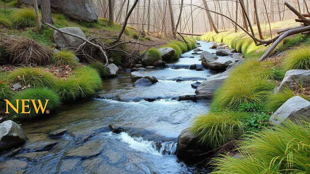
Identifying Natural Mineral Concentration Zones in Upland Streams
Identifying Natural Mineral Concentration Zones in Upland Streams
Understanding the distribution of minerals in upland streams is essential for a variety of ecological and geological studies. These minerals can inform researchers about the watersheds geological composition, hydrology, and overall environmental health. This article explores the methodologies used to identify mineral concentration zones in upland streams, the significance of these minerals, and their implications for environmental management and conservation efforts.
The Significance of Mineral Concentration Zones
Mineral concentration zones in upland streams are critical for a number of reasons:
- Ecological Health: Minerals play a significant role in supporting aquatic life. influence the availability of nutrients, impacting plant and animal biodiversity.
- Water Quality: Concentrations of certain minerals, such as heavy metals, can indicate water quality issues and pose risks to wildlife and human health.
- Geological Insights: Understanding mineral distribution provides insights into local geology, which can influence erosion rates and sediment transport.
Methodologies for Identifying Mineral Concentration Zones
Several techniques can be employed to identify zones of mineral concentration within upland streams. These methods can be broadly categorized into field surveys, remote sensing, and geochemical analysis.
Field Surveys
Field surveys involve direct sampling of stream sediments and water. Researchers employ techniques such as:
- Grab Sampling: Collecting sediment from specific locations in the stream provides a snapshot of mineral content.
- Core Sampling: Utilizing coring devices allows for the analysis of sediment layers, revealing historical mineral deposition trends.
For example, a study in the Appalachian region utilized grab sampling to assess the concentration of iron and manganese in streams, which showed distinct zones correlating with geological formations.
Remote Sensing
Remote sensing technology, including satellite imagery and aerial surveys, offers a broader view of upland streams. Techniques such as:
- Multispectral Imagery: Analyzing images from different wavelengths can highlight areas with varying vegetation health and soil moisture, indirectly indicating mineral concentrations.
- LiDAR (Light Detection and Ranging): This technology maps topographical features, helping identify erosion-prone zones where mineral deposition is more likely.
A notable case was conducted in California, where researchers used LiDAR to trace sediment transport, which allowed them to identify potential mineral concentration zones influenced by upland runoff.
Geochemical Analysis
Laboratory analysis of collected samples is essential for determining the exact mineral content. Techniques such as:
- Inductively Coupled Plasma Mass Spectrometry (ICP-MS): This method detects trace metals in sediment samples, providing a detailed mineral profile.
- X-ray Fluorescence (XRF): XRF can quickly analyze surface minerals in field conditions, offering immediate insight into mineral concentrations.
Case Study: Identifying Zones in the Amazon Basin
In a comprehensive study of the Amazon Basin, researchers combined field surveys with remote sensing and geochemical analysis to map mineral concentration zones. Utilizing satellite imagery, they were able to detect areas suffering from mineral depletion due to deforestation and increased sediment runoff. This multidisciplinary approach enabled them to recommend conservation strategies effectively.
Challenges in Identification
Identifying mineral concentration zones in upland streams comes with challenges:
- Variability in Mineral Composition: Natural processes such as weathering and erosion can lead to temporal fluctuations in mineral concentrations.
- Human Impact: Anthropogenic activities like mining and agriculture can disrupt natural mineral distribution, complicating data interpretation.
- Access to Remote Areas: Accessibility to certain stream locations may hinder comprehensive surveys and sampling.
Conclusion and Actionable Takeaways
Identifying mineral concentration zones in upland streams is a complex yet pivotal task that requires a combination of methodologies. Researchers must integrate field surveys, remote sensing, and geochemical analysis to obtain a comprehensive understanding of mineral distributions.
For practitioners and environmental managers, the following action points are recommended:
- Use a systematic monitoring program that combines various methodologies for effective mineral analysis.
- Engage local communities to assist in field surveys and conservation efforts, fostering stewardship of waterways.
- Use findings to inform land-use planning, particularly in regions susceptible to mining and agriculture.
By employing these strategies, we can better understand and manage the natural resources found within upland streams, contributing to sustainable environmental practices.


