How to Use GIS Tools to Analyze and Overlay Historical Maps for Exploration
Introduction
Geographic Information Systems (GIS) have revolutionized the way scholars and researchers analyze historical data by enabling them to visualize and interpret spatial information over time. The ability to overlay historical maps with contemporary geographic data allows for a richer understanding of historical context and changes in land use, demographics, and environmental conditions. This article discusses the methodology for employing GIS tools to analyze and overlay historical maps, showcasing practical applications and benefits.
The Importance of Historical Maps in GIS Analysis
Historical maps serve as vital resources in various fields such as history, geography, and urban planning. provide a snapshot of a specific time and place, allowing researchers to explore changes in physical layouts, population distributions, and socio-economic conditions. Also, integrating these maps into GIS platforms can yield significant insights, especially when considering the dynamic interplay between human activities and spatial changes.
Case Studies of Historical Maps
Several key studies illustrate the value of GIS in overlaying historical maps. For example, research conducted on the Sanborn fire insurance maps of 19th-century American cities reveals demographic transitions and urban development patterns. Sanborn maps, which provide detailed information on buildings, street layouts, and land use, can be compared to modern GIS data to track urbanization trends.
Methodological Framework for GIS Analysis
The process of analyzing historical maps using GIS involves several critical steps, which are outlined below.
1. Data Acquisition
- Collecting historical maps: Numerous libraries, archives, and online repositories offer access to digitized maps. The David Rumsey Map Collection, for example, provides thousands of historical maps covering various locations and times.
- Obtaining contemporary geographic data: Several sources, such as government agencies and non-profit organizations, offer geographic datasets, including boundaries, infrastructure, and demographic data.
2. Georeferencing Historical Maps
Georeferencing is the process of aligning the historical maps with a known coordinate system. This can be achieved through the following steps:
- Identifying control points: Choose recognizable landmarks or features visible on both the historical map and current maps for accurate alignment.
- Applying transformation: Use GIS software tools (e.g., ArcGIS, QGIS) to adjust and fit the historical map to the coordinate system based on the identified control points.
3. Overlaying Maps
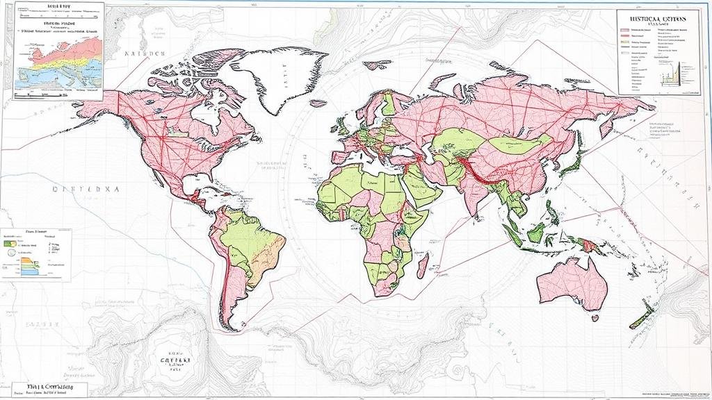
Once georeferencing is completed, researchers can overlay the historical map onto contemporary layers. This process helps identify changes and continuities in the landscape, such as urban development or environmental alterations. Layers can include roads, land use, and demographic data.
4. Analysis and Interpretation
- Spatial analysis: Use quantitative methods to explore patterns, such as population density changes over time. For example, analyzing changes in property boundaries or the expansion of transportation networks.
- Visual representation: Create maps that visually communicate findings, enabling insights not readily apparent in text-based reports.
Challenges in Analyzing Historical Maps
While GIS provides powerful tools for analyzing historical maps, researchers face several challenges, including:
- Scale and accuracy: Historical maps may not be accurately scaled, requiring careful adjustments and verification against contemporary data.
- Data quality: The resolution and clarity of digital reproductions can vary, affecting interpretation.
- Historical context: Understanding the socio-political context of a maps creation is crucial for accurate analysis.
Conclusion
Using GIS tools to analyze and overlay historical maps offers a robust framework for uncovering historical insights and contextualizing changes over time. Researchers can unlock patterns of urbanization, migration, and environmental change, providing valuable data for fields like urban planning, historical preservation, and environmental science. By following the methodological framework outlined in this article, scholars can navigate the complexities of historical map analysis while making significant contributions to their respective disciplines.
Actionable Takeaways
- Start by identifying key historical maps relevant to your area of interest through digital collections, local archives, or library databases.
- Familiarize yourself with GIS software and data management techniques to effectively georeference and overlay maps.
- Engage with interdisciplinary research by collaborating with historians, urban planners, and environmental scientists to deepen the analysis.


