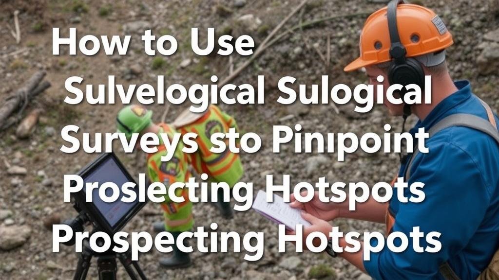
How to Use Geological Surveys to Pinpoint Prospecting Hotspots
How to Use Geological Surveys to Pinpoint Prospecting Hotspots
Geological surveys are essential tools for prospecting in various industries, particularly in mining, oil, and gas exploration. They provide invaluable data that can lead to the identification of promising areas for resource extraction. This article delves into how to effectively leverage geological surveys to pinpoint prospecting hotspots, using relevant examples and industry insights.
Understanding Geological Surveys
A geological survey involves the systematic collection, analysis, and mapping of geological data. e surveys utilize various techniques, including field studies, remote sensing, and geophysical methods, to gather information about Earths materials and processes. They play a crucial role in assessing the potential for finding mineral or energy resources.
Types of Geological Surveys
Different types of geological surveys can yield varying insights, and understanding these can enhance the prospecting process.
- Geological Mapping: Visual representation of geological features. For example, a detailed geological map of the area can reveal rock formations and structural features that may indicate mineral deposits.
- Geochemical Surveys: Analysis of soil, sediment, and rock samples to detect the presence of specific minerals or elements. For example, elevated levels of gold in soil samples can lead to further exploration.
- Geophysical Surveys: Techniques like seismic, magnetic, and electrical methods to infer subsurface characteristics. These methods can highlight anomalies indicative of resource deposits, such as oil reservoirs.
Analyzing Geological Data
After conducting geological surveys, the next step is to analyze the data collected. This involves integrating various datasets to create a comprehensive picture of the subsurface conditions.
For example, a joint analysis of geological maps and geochemical data can pinpoint a hotspot for copper mining. If geological mapping indicates the presence of certain rock types associated with copper, and geochemical surveys confirm elevated copper levels in soil, the site becomes a prime candidate for further exploration.
Case Study: The Goldfields of Australia
The Goldfields region of Western Australia serves as an exemplary case where geological surveys significantly influenced prospecting success. Comprehensive geological mapping, combined with geophysical and geochemical surveys, helped identify several key gold deposits.
For example, the Super Pit near Kalgoorlie was developed after extensive geological surveys uncovered a substantial gold-bearing structure. Through cohesive data analysis and exploration efforts, the area transitioned from an initial assessment to one of the largest gold mines in the world.
Utilizing Technology in Geological Surveys
Technological advancements have transformed the landscape of geological surveying. Geographic Information Systems (GIS) enable geologists to visualize and manipulate large data sets effectively, while drone technology provides high-resolution aerial perspectives.
For example, the use of drones equipped with multispectral cameras has facilitated the identification of vegetation stress that often correlates with underlying mineralization–a promising strategy for discovering new mining areas.
Challenges and Considerations
While geological surveys provide critical insights, several challenges remain. Data accuracy, changes in environmental conditions, and human error can influence survey results. Also, legal and environmental regulations can restrict access to certain areas, complicating exploration efforts.
It is imperative to adopt a multifaceted approach, combining geological surveys with other exploration strategies such as sampling and drilling to validate findings and minimize risks.
Actionable Takeaways
- Use a combination of geological mapping, geochemical, and geophysical surveys to gather comprehensive data.
- Leverage technology like GIS and drone surveys to enhance data analysis and visualization.
- Consider regional case studies, such as those from Australias Goldfields, to inform prospecting strategies.
- Remain aware of potential challenges and be prepared to adapt your methodology to ensure the effectiveness of surveys.
To wrap up, geological surveys are instrumental in uncovering prospecting hotspots. By adopting a systematic approach to data collection and analysis, prospectors can significantly enhance their chances of successful resource discovery.


