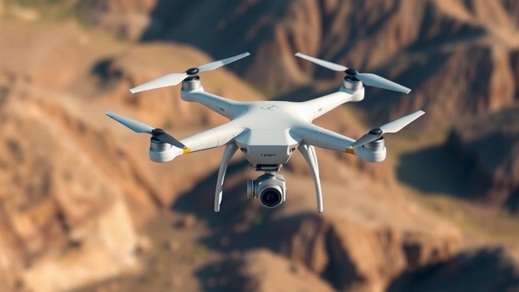
How to Use Drones for Aerial Surveys of Potential Mining Sites
How to Use Drones for Aerial Surveys of Potential Mining Sites
In recent years, the mining industry has increasingly adopted drone technology for aerial surveys, revolutionizing how potential mining sites are assessed. Drones offer a cost-effective, efficient, and safe means of conducting geospatial surveys, providing critical data for geological evaluations and site planning. This article will outline the processes involved in utilizing drones for mining site surveys, the benefits they provide, and best practices to ensure effective implementation.
The Role of Drones in Mining Surveys
Drones, also known as unmanned aerial vehicles (UAVs), have become pivotal in enhancing survey methodologies in mining. gather high-resolution imagery, create topographical maps, and conduct volumetric measurements with precision. Traditional survey methods involve human resources and ground equipment, which can be time-consuming and prone to errors. In contrast, drones can cover extensive areas in a fraction of the time while minimizing safety risks associated with ground surveys.
Benefits of Utilizing Drones
Employing drones for aerial surveys in mining offers numerous advantages:
- Cost Efficiency: Drones reduce labor and operational costs associated with traditional survey methods. For example, using drones can help decrease survey time by up to 80% compared to conventional techniques.
- Data Quality: Drones provide high-resolution imagery and accurate data, essential for geological assessments. Many drones now come equipped with advanced sensors, including LiDAR and multispectral cameras.
- Enhanced Safety: Drones minimize the need for surveyors to navigate potentially hazardous terrains, reducing the risk of accidents.
- Rapid Data Acquisition: Drones can quickly gather data over large areas, allowing for faster decision-making and project timelines.
Preparing for Aerial Surveys
Before conducting surveys, it is crucial to perform thorough preparation. Here are the essential steps:
- Define Objectives: Clearly outline the purpose of the survey, whether it is for mineral exploration, site reconnaissance, or environmental monitoring.
- Select Appropriate Equipment: Choose a drone that meets the projects specifications, considering factors such as payload capacity, flight time, and sensor technology.
- Obtain Necessary Permissions: Ensure compliance with local regulations regarding airspace and land use. Obtaining permits may include approvals from aviation authorities and landowners.
Executing the Aerial Survey
With careful planning in place, it is time to execute the aerial survey. The following steps should be followed:
- Conduct Test Flights: Perform test flights to ensure that the equipment is operational and the selected flight paths are suitable for data collection.
- Capture Data: Use automated flight planning software to ensure systematic data acquisition. This software can optimize routes to minimize overlap and maximize coverage.
- Monitor Flight Operations: Keep track of drone flights in real-time to address any technical issues immediately and ensure data integrity.
Processing and Analyzing Data
Post-flight, the collected data requires processing and analysis for it to offer meaningful insights. Here’s how:
- Data Software: Use specialized software to process raw data. Popular options include Pix4D and Agisoft Metashape, which can generate orthomosaic maps and digital elevation models.
- Interpret Results: Analyze the processed imagery to identify geological features, potential mineral deposits, and environmental concerns that could affect mining operations.
Real-World Applications
Several case studies exemplify the successful implementation of drone technology in mining. For example, a mining company in Canada utilized drones for surveying a large exploration area. reported a 75% reduction in time spent on survey data collection and significantly improved the accuracy of mineral estimates compared to traditional methods.
Another example can be found in a project in Australia where drones were employed for environmental impact assessments. The high-quality imagery captured allowed for monitoring vegetation health and species diversity, directly influencing mining plans to minimize ecological disruption.
Challenges and Considerations
While the benefits of using drones for aerial surveys in mining are substantial, certain challenges must be acknowledged:
- Technical Limitations: Weather conditions such as high winds or heavy rain can impede drone operation. So, planning flights around weather forecasts is crucial.
- Skill Requirements: Operators must be adequately trained not only in piloting drones but also in data collection and processing techniques.
Conclusion and Actionable Takeaways
Utilizing drones for aerial surveys of potential mining sites presents a forward-thinking approach that enhances efficiency and safety while improving data quality. To successfully implement drone technology, mining companies should:
- Invest in training for drone operators to ensure they are well-versed in both piloting and data analysis.
- Stay updated on the technological advancements in drone sensors and software for optimal results.
- Develop a routine for assessing compliance with regulations and permissions prior to conducting surveys.
The incorporation of drone technology in mining surveys is not just a trend; it represents a fundamental shift in how mining operations can leverage technology for sustainable exploration and development.


