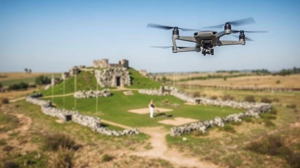
How to Use Drone Imaging for Historic Site Surveys and Treasure Hunting
How to Use Drone Imaging for Historic Site Surveys and Treasure Hunting
In recent years, drone imaging has revolutionized the methodologies applied in the fields of archaeology and treasure hunting. This technology offers a cost-effective, efficient, and thorough way to survey expansive terrains, document historical sites, and find buried treasures. This article explores the application of drone imaging in historic site surveys and treasure hunting, providing detailed methodologies, case studies, and best practices.
Applications of Drone Imaging in Historic Site Surveys
Drone imaging, or unmanned aerial vehicle (UAV) technology, plays a pivotal role in the archaeological survey process. It allows for the rapid collection of aerial images and data, improving the efficiency and accuracy of surveys.
1. Data Collection
Drones equipped with high-resolution cameras and LiDAR technology are capable of capturing detailed images and 3D models of landscapes and structures. For example, in 2017, researchers utilized drones to map the ancient Mayan city of Caracol in Belize. UAVs enabled the discovery of previously unknown structures, expanding the site’s known boundaries significantly.
2. Site Monitoring
Drone technology allows archaeologists to monitor sites for changes over time, such as erosion or vandalism. A case in point is the use of drones at the ancient Roman site of Pompeii, where regular aerial surveys help to track site stability and ongoing preservation efforts.
3. Landscape Analysis
Drones provide the opportunity to analyze the surrounding landscape in a way previously unavailable. By utilizing multispectral imaging, researchers can assess vegetation patterns that may indicate buried structures or features. For example, studies at the archaeological site of Çatalhöyük in Turkey leveraged drone data to reveal evidence of long-lost buildings and pathways.
Using Drone Imaging in Treasure Hunting
Drone technology is not limited to academic applications; it also offers significant advantages in treasure hunting. Enthusiasts and professionals alike have turned to drone imaging to increase their chances of success.
1. Search and Exploration
High-resolution aerial imagery allows treasure hunters to scan vast areas quickly. For example, in areas known for shipwrecks, such as the waters off the coast of Florida, drone imaging can help identify anomalies on the seafloor that may indicate wreck sites.
2. Mapping and Planning
Drones facilitate comprehensive mapping of a search area, enabling treasure hunters to plan their exploration strategically. With software that processes drone-captured data into 3D models, users can identify potential areas of interest based on landscape features or historical accounts. For example, treasure hunters searching the Bermuda Triangle have successfully leveraged drone imaging to narrow down target locations based on historical ship sinking data.
3. Environmental Assessment
Drone imagery also assists in understanding the environmental conditions of a treasure-hunting site, such as identifying vegetation patterns that may hinder physical access. The recovery of artifacts from the wreck of the Spanish galleon Nuestra Señora de las Maravillas off the Bahamas in 1656 was enhanced by drones that mapped underwater and surface conditions, enabling the divers to focus their efforts on the most promising areas.
Challenges and Limitations
While drone imaging has numerous benefits, it is essential to recognize its limitations and challenges. Regulatory restrictions, technological costs, and the requirement for skilled personnel can present hurdles.
- Regulatory Frameworks: Many countries have strict regulations governing drone usage, which can limit areas of operation.
- Technical Costs: High-quality drones with advanced imaging technology can be expensive, which may deter some users.
- Skill Requirements: Effective use of drones requires training and knowledge in data interpretation, which may not be readily available to all individuals.
Conclusion and Actionable Takeaways
Drone imaging has ushered in a new era for historic site surveys and treasure hunting, showcasing the potential for improved efficiency and accuracy. By leveraging UAV technology, practitioners can uncover and document historical artifacts and locations that were previously overlooked.
For researchers and treasure hunters looking to utilize drone imaging, consider the following actionable takeaways:
- Investigate local regulations regarding drone flight to ensure compliance.
- Invest in high-quality drone technology that suits your specific needs for imaging and mapping.
- Seek out training programs to become proficient in drone operation and data interpretation.
The integration of drone technology in these fields promises to enhance our understanding of historical landscapes and improve treasure hunting endeavors significantly.


