How to Incorporate Drones for Scouting and Mapping Treasure Sites
How to Incorporate Drones for Scouting and Mapping Treasure Sites
The use of drones for scouting and mapping treasure sites has revolutionized the field of archaeology and treasure hunting. Advanced technology such as Geographic Information Systems (GIS), aerial photography, and LiDAR (Light Detection and Ranging) allow treasure seekers and researchers to gather data efficiently, providing significant advantages over traditional methods. This article explores how to effectively incorporate drones into treasure hunting activities, ensuring a comprehensive understanding of their applications and benefits.
Understanding Drone Technology
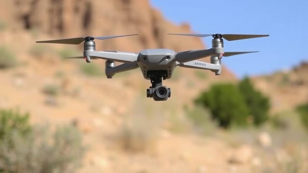
Before diving into the specifics of treasure scouting and mapping, it is crucial to understand the technology behind drones. Drones, commonly known as Unmanned Aerial Vehicles (UAVs), come equipped with various sensors and cameras that enable them to capture aerial imagery and collect data from hard-to-reach areas.
- Camera Technology: High-resolution cameras, including RGB cameras and thermal imaging sensors, provide valuable data for identifying potential treasure sites.
- GIS Integration: Drones can integrate with GIS software to create accurate maps and 3D models, which aid in analysis and planning.
- Flight Management Systems: These systems allow for automated flight paths, ensuring thorough coverage of the area being surveyed.
Planning a Drone Survey
Successful incorporation of drones into scouting and mapping treasure sites begins with meticulous planning. This stage includes identifying potential areas of interest, understanding local regulations, and determining the appropriate technology to utilize.
- Area Assessment: Conduct an initial assessment to identify regions with historical significance or unexplored terrain using online databases and historical maps.
- Regulatory Compliance: Check local regulations related to drone flights in archaeological sites, as these can vary widely by location.
- Equipment Selection: Choose the right drone model based on the terrain and type of data required. For example, fixed-wing drones are ideal for large areas, while multirotor drones offer flexibility for detailed surveying.
Data Collection Techniques
The ability to collect rich data sets is one of the primary advantages of using drones for treasure scouting. Various techniques can be employed to maximize the effectiveness of drone surveys, including:
- Aerial Photography: Capture high-resolution images of the landscape which can highlight features such as changes in vegetation indicative of buried structures.
- Thermal Imaging: Use thermal sensors to identify heat signatures beneath the ground, which may indicate the presence of artifacts or structures.
- LiDAR Mapping: Employ LiDAR technology for creating highly detailed 3D models of the landscape, identifying topographical features often invisible to traditional methods.
Analyzing the Data
Once data is collected, analysis is vital to transform raw data into actionable insights. Drones generate extensive data that requires sophisticated analysis techniques, supported by specialized software.
- Data Processing Software: Use programs such as Pix4D or DroneDeploy to process images and create orthomosaics, which help in mapping potential treasure sites accurately.
- GIS Tools: Integrate gathered data with GIS tools for spatial analysis, which can reveal patterns and clues about potential treasure locations.
- Creating Detailed Maps: Generate overlays using satellite images combined with drone data to identify anomalies in the terrain that might suggest archaeological activity.
Real-World Applications and Case Studies
Many researchers and treasure hunters have integrated drones into their operations with remarkable results. For example, the use of drones in mapping entire ancient civilizations has provided new insights into settlement patterns and site functions. One notable example is the survey of the archaeological site of Angkor Wat in Cambodia, where drone technology was used to map and analyze its vast layouts and uncover hidden structures.
Also, in 2016, the introduction of drones in treasure hunting off the coast of Florida led to significant discoveries of shipwrecks dating back to the Spanish colonial period, showcasing the practical benefits of drone integration.
Considerations and Challenges
While the advantages of drones in treasure hunting are significant, its essential to consider potential challenges. These include:
- Weather Conditions: Adverse weather can affect drone performance, particularly when relying on aerial photography or LiDAR, requiring careful scheduling of flights.
- Technical Limitations: Drone limitations such as battery life and maximum operating altitude must be taken into account during planning and execution.
- Data Privacy Laws: Understanding and complying with data privacy regulations is crucial, as unauthorized capture of images may lead to legal issues.
Actionable Takeaways
Incorporating drones into treasure scouting and mapping requires careful planning and consideration. By selecting the right equipment, utilizing effective data collection methods, and employing sophisticated analysis techniques, treasure hunters can significantly enhance their chances of success. Also, keeping abreast of technological advancements and case studies can provide fresh insights into innovative practices. Ultimately, the effective use of drones expands the possibilities in treasure hunting, inviting a new era where the past can be explored with unprecedented accuracy and efficiency.


