How to Identify Prehistoric Campsites Using Natural Land Features
How to Identify Prehistoric Campsites Using Natural Land Features
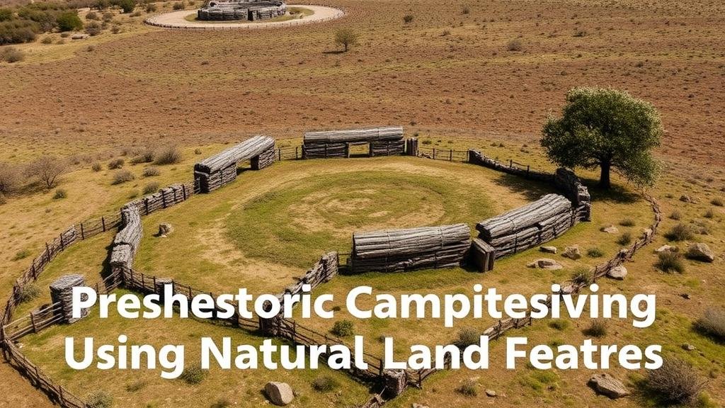
The study of prehistoric human activities often relies heavily on identifying sites of significance that facilitated survival and community construction. One such crucial aspect is understanding how natural land features served as indicators for prehistoric campsites. This article explores methodologies for identifying these sites, based on various terrains and geological factors that can signal past human habitation.
The Importance of Natural Land Features
Natural land features often provided essential resources for prehistoric peoples, including water, food, and protection from the elements. Understanding how to identify these features is critical in archaeology, as it can help researchers locate potential campsites. Key land features include proximity to water sources, elevated terrains, and the types of vegetation present.
Water Sources as Indicators
Water is a foundational element for any community, particularly in prehistoric contexts. Archaeological data consistently shows that human settlements often emerged near rivers, lakes, or springs. For example, the discovery of ancient tools and cooking implements near the banks of the Nile and Tigris rivers suggests that these fertile areas attracted early human habitation.
- Presence of Freshwater: Freshwater bodies like rivers and streams provide not just drinking water but also support fishing and gathering of other aquatic resources.
- Seasonal Changes: Understanding the seasonal flow of water bodies can indicate periods of human activity; thus, identifying campsites associated with specific seasonal migrations is vital.
Topography and Elevation
Elevation plays a critical role in the analysis of prehistoric campsites. Elevated areas often provided strategic advantages, such as better visibility for hunting and a natural defense against predators or rival groups. For example, archaeological evidence from sites in the Andes reveals that ancient civilizations utilized high-altitude plateaus to establish settlements.
- Hills and Ridges: These formations not only offer a wider view for surveillance but also have historically been sites for lookout points.
- Valleys: Low-lying areas near rivers or streams can provide fertile soil, making them attractive for agriculture once sedentary lifestyles began.
Vegetation and Habitat Types
The types of vegetation surrounding a potential campsite can indicate the resources available to prehistoric peoples. Arboreal terrains may provide wood for fire and shelter, while grasslands could indicate the presence of herbivores, a primary food source. An example of this relationship can be seen in studies of the Great Plains, where Indigenous groups strategically positioned their camps near vast herds of bison.
- Resource Availability: Identification of berry-laden bushes or fruit trees signals the presence of foraging cultures.
- Ecological Niches: The diversity of plant life informs researchers about the historical climate and can help reconstruct human-environment interactions.
Archaeological Case Studies
To practically apply these concepts, several case studies are documented where researchers successfully identified prehistoric campsites using natural land features. For example, the excavation site at Çatalhöyük in Turkey revealed a dense settlement that thrived near a river delta, taking advantage of both aquatic and terrestrial resources.
Another significant study at the Anza-Borrego Desert State Park in California demonstrated how the presence of rock outcrops and windswept shelters indicated prolonged human activity in an otherwise harsh landscape.
Challenges and Considerations
While natural land features serve as valuable indicators for locating prehistoric campsites, researchers must also account for various challenges. Factors such as climatic changes over millennia can significantly alter landscapes, obscuring potential sites. Plus, modern development and erosion can further complicate archaeological endeavors.
Actionable Takeaways
Identifying prehistoric campsites using natural land features can be a systematic approach that incorporates multiple disciplines, including geology, ecology, and archaeology. Here are some actionable takeaways for researchers or enthusiasts interested in this field:
- Conduct comprehensive surveys of local terrains to understand their historical significance.
- Use geographic information systems (GIS) to visually analyze topography, water sources, and vegetation patterns.
- Engage local Indigenous knowledge and historical records which might provide insights into land use that has persisted through generations.
By focusing on the analysis of natural land features, one can enhance their understanding of human behavior and adaptations in prehistoric times. Such research not only enriches our knowledge of the past but also informs conservation efforts for these invaluable archaeological landscapes.


