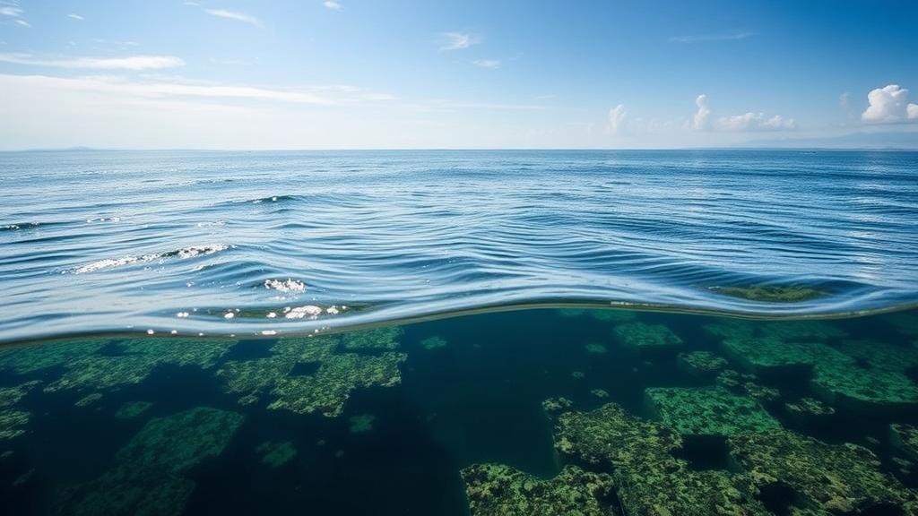
How to Analyze Coastal Shifts to Uncover Sunken Treasures
Introduction
The ongoing changes in coastal environments are not just ecological phenomena; they can also reveal significant historical artifacts submerged beneath the waves. The analysis of coastal shifts, driven by natural factors such as erosion, sediment transport, and climate change, can uncover sunken treasures that tell the story of human activity over centuries. This article examines the methodologies employed in analyzing coastal dynamics and how they can be leveraged to locate submerged artifacts and shipwrecks.
Understanding Coastal Dynamics
Coastal regions are dynamic environments shaped by various processes, including wave action, tides, and currents. e shifts can result in the erosion of land and the deposition of materials.
Processes Influencing Coastal Changes
- Wave Action: Waves can erode coastlines and uncover sunken objects.
- Tidal Fluctuations: Changing tides can expose previously submerged items.
- Sea-Level Rise: As sea levels rise, land once above water may become submerged.
- Human Activity: Construction, dredging, and shipping can change sediment distribution.
Technology and Techniques for Coastal Analysis
To effectively analyze coastal shifts, researchers utilize a variety of tools and technologies designed to map and interpret changes in coastal environments. Key methodologies include remote sensing, GIS (Geographic Information Systems), and underwater archaeology techniques.
Remote Sensing and GIS
Remote sensing technology uses satellite imagery and aerial photography to monitor coastal changes. GIS allows researchers to analyze spatial and temporal data related to coastal shifts.
For example, a study conducted by the National Oceanic and Atmospheric Administration (NOAA) applied remote sensing techniques along the Eastern Seaboard of the United States to track shoreline changes. This data helped identify areas where sunken artifacts might be located.
Underwater Surveys
Once potential sites are identified, underwater surveying techniques, such as sonar mapping and sub-bottom profiling, can be employed. These methods allow researchers to create detailed maps of the seabed and identify anomalies indicative of shipwrecks or other historical artifacts.
A documented example includes the discovery of the submarine U-576 off the coast of North Carolina, where sonar mapping facilitated its location, leading to successful excavation.
Case Studies in Coastal Treasure Discoveries
The Flor de la Mar
One of the most renowned shipwrecks is the Flor de la Mar, a Portuguese ship that sank in 1511 off the coast of Malacca. The ship was carrying a treasure of gold and silver, which remains undiscovered. Ongoing studies of historical records coupled with modern coastal analysis techniques aim to identify potential wreck sites.
The Atocha
The shipwreck of the Nuestra Señora de Atocha, which sank off the Florida Keys in 1622, is another illustrative case. In the 1980s, treasure hunter Mel Fisher used a combination of historical documentation and sonar technology to discover and recover treasure worth an estimated $400 million.
Challenges and Ethical Considerations
While the pursuit of sunken treasures can yield significant historical and financial benefits, it also raises ethical questions regarding the preservation of marine heritage. In many cases, the artifacts recovered are invaluable to understanding maritime history.
- Legal Framework: International laws, such as the UNESCO Convention on the Means of Prohibiting and Preventing the Illicit Import, Export and Transfer of Ownership of Cultural Property, aim to protect underwater cultural heritage.
- Conservation Efforts: Recovery operations must prioritize the preservation of artifacts.
Conclusion
Analyzing coastal shifts is a critical process in uncovering sunken treasures that illuminate historical narratives. Modern technology and interdisciplinary methodologies have greatly enhanced our capabilities in this field. But, it is paramount that these efforts occur within a framework that emphasizes ethical considerations and the preservation of cultural heritage.
Actionable Takeaways
- Use remote sensing and GIS technologies for initial mapping of coastal areas.
- Engage in underwater survey techniques to identify potential shipwreck sites.
- Collaborate with legal experts to navigate the complexities of maritime heritage laws.


