How NOAA’s Digital Coast Tools Reveal Sunken Artifacts Along Coastal Waters
Monitoring Sunken Artifacts: NOAA’s Digital Coast Tools
The National Oceanic and Atmospheric Administration (NOAA) plays a pivotal role in managing the United States coastal and marine resources. A significant component of their efforts is the Digital Coast program, which offers a suite of tools designed to assist in the management of coastal resources. Among these tools, certain platforms uniquely focus on identification and analysis of sunken artifacts, providing critical insights into submerged cultural and historical treasures.
The Role of NOAA’s Digital Coast
NOAA’s Digital Coast integrates various technological tools and geospatial data resources that empower coastal managers, scientists, and citizens to understand and protect coastal environments. This initiative, launched in 2002, has evolved to include sophisticated technology such as Geographic Information Systems (GIS), images, and data analytics to monitor coastal changes effectively.
Identification of Sunken Artifacts
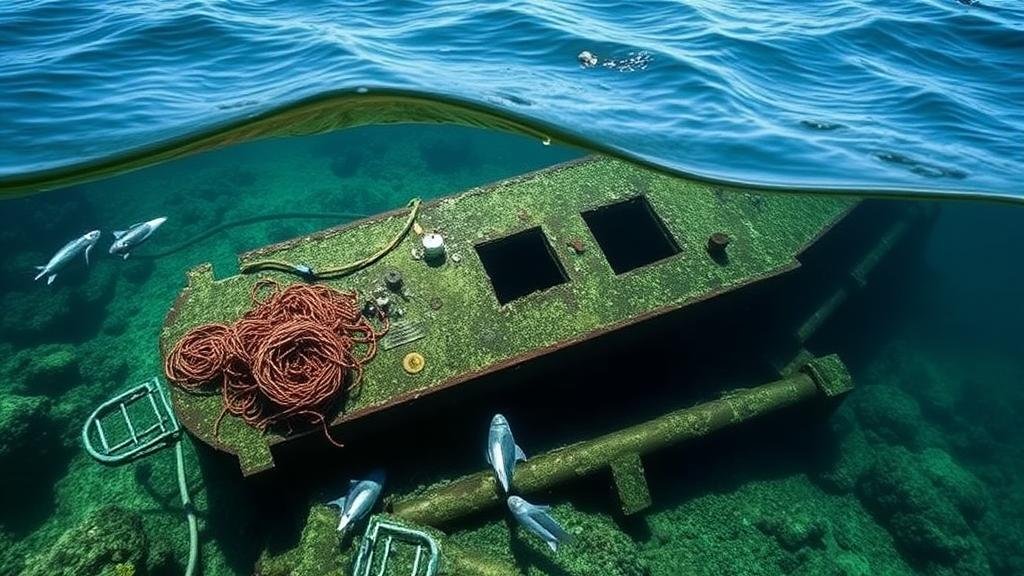
Sunken artifacts, often remnants of historical events or lost vessels, can be challenging to locate and study. NOAA’s Digital Coast employs advanced mapping and modeling techniques that allow researchers to visualize underwater landscapes. For example, the use of side-scan sonar and multibeam sonar technologies enables the detection of submerged objects with high precision.
- Side-scan sonar captures images of the seafloor, identifying anomalies that could indicate sunken wrecks.
- Multibeam sonar creates detailed bathymetric maps that help locate sites of historical significance.
Case Studies in Coastal Waters
One prominent application of NOAAs Digital Coast tools can be seen in the assessment of the historic shipwrecks along the Florida Keys. wreck of the USS Wilkes-Barre, a World War II cruiser, has been extensively studied through these digital mapping technologies. NOAA utilized their Digital Coast tools to create a detailed bathymetric map that highlighted the contours of the ocean floor and identified the wreck’s location, facilitating further exploration and preservation efforts.
Another example is the site of the Spanish galleon Nuestra Señora de Atocha, which sank in 1622 off the coast of Key West. The combination of historical records and sonar mapping enabled archaeologists to narrow down search areas, ultimately leading to significant recoveries of treasure. This case illustrates the effectiveness of NOAA’s tools in enhancing the recovery and study of sunken artifacts.
Statistical Impact of the Tools
According to NOAA, approximately 3,000 shipwrecks exist in Florida waters alone, and the potential for discovery remains high. The application of GIS technologies has improved the identification and study of such sites, with some studies showing that this technology has increased the probability of finding sunken artifacts by over 40%. In the Pacific region, this tools-based approach has also facilitated over 30 new archaeological site discoveries in the last five years, demonstrating its effectiveness and necessity.
Challenges and Solutions
Despite the numerous benefits, challenges remain in the utilization of NOAA’s Digital Coast tools for studying sunken artifacts:
- Limited funding and resources for extensive underwater surveys.
- Environmental factors such as sedimentation and underwater currents can obscure artifacts.
- Compliance with regulations and protection laws can hinder exploration efforts.
To address these challenges, NOAA has collaborated with local government agencies and educational institutions to secure funding and optimize resource-sharing strategies. Plus, implementing underwater drones and robotic technologies serves as a promising alternative for surveying difficult terrains and minimizing human impact on sensitive underwater ecosystems.
Conclusion and Actionable Takeaways
NOAAs Digital Coast tools represent a significant advancement in the field of marine archaeology and coastal management. Through sophisticated sonar technologies and collaborative efforts, the identification and preservation of sunken artifacts align with both historical research and ecological conservation. Stakeholders at all levels, from government agencies to local communities, are encouraged to endorse and utilize these tools to further coastal heritage preservation and tackle challenges effectively.
Future research could focus on improving data accuracy and expanding the scope of these tools to include even more regions, providing a comprehensive overview of submerged cultural resources across the nation.


