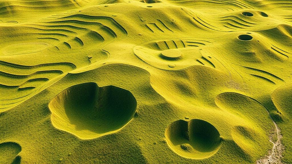
How AI Detects Irregular Terrain Features That May Indicate Buried Structures
How AI Detects Irregular Terrain Features That May Indicate Buried Structures
The intersection of artificial intelligence (AI) and archaeological investigations has opened new avenues for detecting buried structures. Through various machine learning and imaging techniques, AI systems can analyze irregular terrain features that might suggest the presence of historical artifacts or constructions beneath the surface. This article explores the methodologies, applications, and significance of using AI in this field.
Theoretical Framework of AI in Terrain Analysis
AI systems operate on data input and algorithmic processing, employing techniques such as pattern recognition and image analysis to detect anomalies in terrain features. e systems can analyze large datasets efficiently and identify patterns that may not be immediately apparent to human observers. The use of supervised and unsupervised learning allows AI to be trained on known data to enhance its ability to predict and detect similar features in unknown terrains.
Technological Useation
Several technologies are employed in AI-powered terrain analysis:
- Remote Sensing: High-resolution satellite imagery and aerial photography assist in capturing the surface characteristics over large geographical areas. These images are analyzed using AI algorithms to identify deviations indicative of buried structures.
- Ground Penetrating Radar (GPR): This technique involves sending radar waves into the ground and measuring the reflected signals. AI is employed to interpret the complex data collected by GPR, distinguishing between natural and man-made features.
- LiDAR (Light Detection and Ranging): A remote sensing method that uses laser lights to create high-resolution topographic maps. AI processes these maps to detect subtle terrain variations that might indicate underlying structures.
Case Studies and Applications
AI methodologies have been successfully applied in various archaeological contexts. For example, in 2021, researchers utilized AI algorithms to analyze LiDAR data in the Yucatán Peninsula, Mexico. This project revealed over 60,000 ancient structures linked to the Mayan civilization that had been previously undetected due to dense forest cover. The combination of AI and remote sensing proved crucial in mapping these sites accurately and efficiently.
Similarly, in 2019, a team of archaeologists in England employed machine learning techniques on topographical datasets of the Stonehenge area. Their analysis led to the discovery of several previously unknown stone structures, underscoring the utility of AI in revealing hidden historical contexts.
Statistical Data Supporting AI Efficiency
Studies have shown that AI can increase the efficiency of archaeological surveys significantly. For example, a study published in the journal Nature reported that using AI-powered analysis reduced the time taken to uncover potential excavation sites by up to 75% compared to traditional methods. Also, accuracy rates in detecting possible structures were found to improve by approximately 90% with the deployment of machine learning algorithms.
Challenges and Limitations
Despite the promising applications of AI in detecting buried structures, several challenges remain:
- Data Quality: The effectiveness of AI hinges on the quality of the input data. Inaccurate or incomplete datasets can lead to erroneous conclusions.
- Interpretation of Results: AI can indicate anomalies but may not accurately interpret their historical significance without expert archaeological knowledge to contextualize findings.
- Ethical Considerations: The use of AI in sensitive archaeological sites raises ethical questions about preservation and potential disruption.
Future Directions
The future of AI applications in archaeology appears promising. As AI technology continues to evolve, its integration with approaches like augmented reality (AR) could enable virtual reconstructions of historical sites, providing deeper insights into past civilizations. Ongoing research is also aimed at improving algorithms for better accuracy in identifying anomalies in complex datasets.
Conclusion
AIs ability to detect irregular terrain features that may indicate buried structures represents a significant advancement in archaeological methodologies. By leveraging technologies such as remote sensing, GPR, and LiDAR, researchers can uncover hidden historical narratives without extensive physical disruption. future will likely see increasing collaboration between AI and archaeological sciences, enhancing our understanding of human history.
Actionable Takeaways
- Archaeologists should consider incorporating AI techniques into their methodologies to optimize site surveys.
- Investing in high-quality datasets can significantly improve the effectiveness of AI models in terrain analysis.
- Understanding the ethical implications of using AI in archaeology is crucial for maintaining the integrity of historical sites.


