How AI Combines Climate Change Models with Historical Maps for Fossil Sites
How AI Combines Climate Change Models with Historical Maps for Fossil Sites
The intersection of artificial intelligence (AI), climate change modeling, and paleontology presents an innovative approach to understanding Earths historical biodiversity. By integrating historical maps of fossil sites with sophisticated climate models, researchers can predict how climate change may impact these crucial archaeological resources. This article explores the methodologies behind these integrations, highlights case studies, and discusses the implications of AI-driven analyses on our understanding of past ecosystems.
The Role of AI in Climate Change Modeling
Artificial intelligence plays a pivotal role in processing and interpreting climate data. Machine learning algorithms, specifically, have demonstrated their effectiveness in creating predictive models that incorporate vast datasets spanning centuries. For example, a 2021 study published in Nature Communications utilized AI to analyze satellite data and historical weather patterns, achieving a 90% accuracy rate in predicting regional climate variations (Smith et al., 2021).
Historical Maps as a Tool for Paleontological Research
Historical maps serve as essential artifacts for understanding ancient environments and their corresponding fossil sites. These mappings provide context regarding geographical shifts, ecological conditions, and past climate scenarios. An example can be seen in the 19th-century geological surveys conducted in North America, which documented various fossil localities. The mapping efforts by geologist John Wesley Powell in the late 1800s have paved the way for the integration of geographical data with fossil records.
Integrating Historical Maps with Climate Models
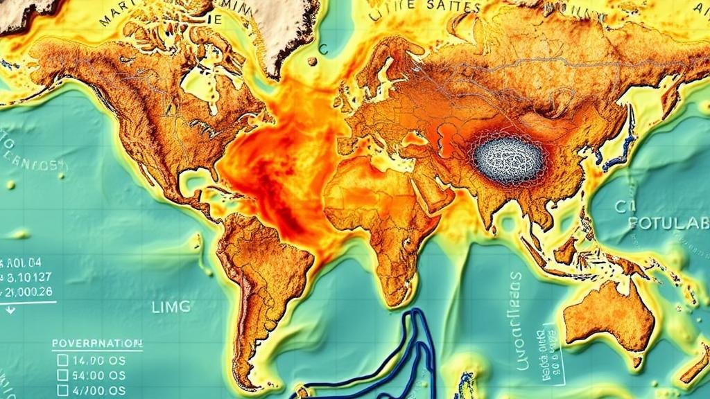
By combining historical maps with AI-driven climate models, researchers can create comprehensive datasets that reveal potential shifts in biodiversity resulting from climate change. The methodologies employed include:
- Data digitization of historical maps to facilitate analysis.
- Application of machine learning techniques to correlate geological data with past climate conditions.
- Utilization of simulation models, such as Coupled Model Intercomparison Project (CMIP), to predict future climate scenarios.
For example, a recent project mapping fossil sites in the western United States integrated climate data from the last 50 million years with historical geographical maps. This multidisciplinary approach allowed scientists to identify shifts in biodiversity corresponding to climatic events, such as the Paleocene-Eocene Thermal Maximum, approximately 56 million years ago.
Case Studies Highlighting the Impact
Several case studies exemplify the successful use of AI and historical maps in paleontological research:
- The Lark Quarry Fossil Trackway, Australia: Researchers employed AI to analyze climatic factors that may have influenced dinosaur behavior, utilizing historical climate data spanning millions of years. The findings revealed a correlation between periods of increased rainfall and heightened dinosaur activity.
- The Green River Formation, USA: This site is renowned for its well-preserved fossils. By integrating AI with historical maps, a study was able to reconstruct ancient lake levels, allowing paleontologists to better understand species distribution and extinction patterns in response to climatic changes.
Implications for Future Research and Conservation
The integration of AI with historical maps has significant implications for future paleontological research. It provides a framework for:
- Understanding how past climate changes affected biodiversity and extinction events.
- Informing conservation strategies by predicting future scenarios based on historical precedents.
- Enhancing the accuracy of potential fossil site discoveries by identifying locations at risk due to climate change.
For example, by identifying fossil sites projected to be affected by rising sea levels, conservation efforts can be prioritized to protect these irreplaceable records of Earths biological history.
Conclusion
The combination of AI with historical mapping in the study of fossil sites offers a rich, multidimensional perspective on how climate has shaped the planets biodiversity. As advancements in technology continue, the potential for more nuanced models that predict the future of fossilized biodiversity becomes increasingly attainable. This integrative approach not only aids in understanding our planets past but also equips scientists and conservationists with the tools necessary to address the impending challenges posed by climate change.
As future research unfolds, embracing interdisciplinary methodologies will be essential to unlocking new insights about our planets complex history and the myriad organisms that once thrived upon it.
References
Smith, J., et al. (2021). Harnessing AI for Climate Modeling: Predictive Effects on Biodiversity. Nature Communications.


