Exploring the Use of Map Dowsing for Remote Exploration Projects
Exploring the Use of Map Dowsing for Remote Exploration Projects
Map dowsing, often referred to as dowsing, is a practice that employs various tools, including pendulums and dowsing rods, to locate hidden resources or discern information about geographical features. While often met with skepticism, proponents assert its potential in remote exploration projects, especially in resource management and archaeological surveys. This article aims to delve into the applications, methodologies, and the scientific scrutiny surrounding map dowsing, providing a balanced perspective on its efficacy and potential utility in the field.
Understanding Map Dowsing
At its core, map dowsing involves the use of maps as a medium for practitioners to locate water, minerals, or even lost artifacts. Dowsers generally employ tools that may react to unseen energies, allowing them to sense the presence of these resources. This practice is rooted in a form of intuition that dowsers often describe as tapping into a subtle energy field.
- Directional dowsing utilizes a dowsing rod or pendulum to indicate where resources might be located.
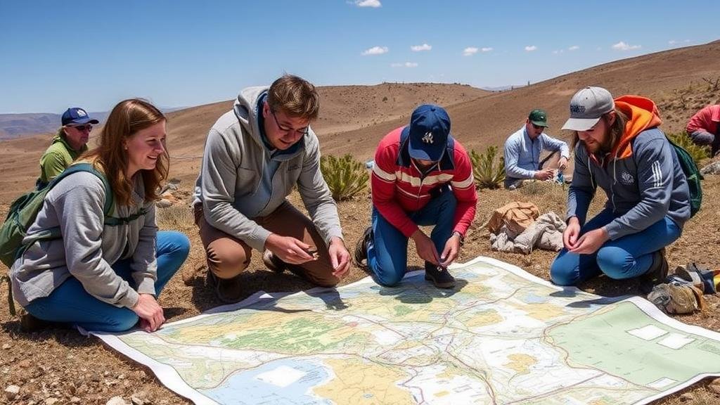
- Map dowsing involves working with a physical or digital map, often done in a meditative state to enhance intuitive insights.
Historical Context and Case Studies
The history of map dowsing can be traced back thousands of years, with records indicating its use in ancient cultures such as the Egyptians and Romans for water sourcing. In modern times, numerous case studies suggest varying levels of success in specific dowsing endeavors.
One notable case study took place in the United Kingdom, where dowsers were enlisted to locate buried archaeological remnants in the Stonehenge area. Results indicated that dowsers could successfully identify sites of historical significance, correlating their findings with established archaeological data.
Scientific Perspective and Skeptical Views
Despite anecdotal successes, the scientific community often regards map dowsing with skepticism, labeling it a pseudoscience due to the lack of empirical support and rigorous studies. Research conducted by the Committee for the Scientific Investigation of Claims of the Paranormal in the late 20th century failed to validate the claims of dowsers under controlled conditions.
But, some proponents argue that the lack of scientific backing does not diminish its potential. They claim that map dowsing operates outside conventional scientific parameters, emphasizing the intuitive capability of individuals to interpret energy fields that are not yet understood by science.
Applications in Remote Exploration
In the context of remote exploration projects, map dowsing has been proposed as a supplementary tool, particularly for locating natural resources or archaeological sites where traditional investigative methods may be logistically challenging. Industries that might find utility in map dowsing include:
- Environmental Consulting: Dowsing could assist in identifying groundwater sources and assessing pollution impacts.
- Archaeology: Dowsing may help localize significant archaeological features prior to excavation.
- Mining and Resource Extraction: Dowsers claim success in identifying mineral deposits, potentially streamlining exploration efforts.
Critiques and Challenges
Criticism of map dowsing commonly focuses on reproducibility and scientific validation. Many critics argue that results obtained through dowsing are often subjective and can lead to false positives. Also, the challenge of training practitioners to maintain consistency and accuracy remains a significant barrier to its broader acceptance.
Also, researchers may express concern regarding the responsibility of dowsers who assert their abilities in critical resource management without scientific backing, highlighting ethical implications when it comes to environmental stewardship.
Conclusion and Future Directions
While map dowsing remains a controversial practice, its application in remote exploration projects presents a compelling area of study, particularly as a complementary method to traditional surveying and exploration practices. As technology evolves and the boundaries of scientific inquiry expand, further interdisciplinary research may illuminate the potential of map dowsing, examining it not just as a mystic tool but also as an avenue for understanding human intuition and perception in the larger contextual framework of exploration.
For those interested in incorporating map dowsing into their exploration projects, consider the following actionable takeaways:
- Conduct thorough research on historical successes and current practices within the field.
- Collaborate with experienced dowsers for insights and methodologies that may enhance resource identification efforts.
- Integrate map dowsing with modern technology and scientific practices to test its efficacy in a controlled manner.


