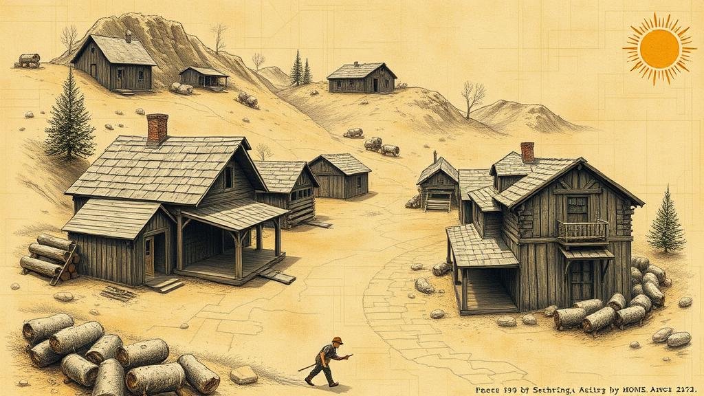
Exploring Old Mining Town Maps for Clues to Forgotten Gold Deposits
Exploring Old Mining Town Maps for Clues to Forgotten Gold Deposits
The search for gold has captured the imagination of adventurers and miners for centuries. As old mining towns decline and eventually fade from memory, they often leave behind a wealth of historical maps that can provide significant insights into forgotten gold deposits. This article delves into the methodology, historical context, and applications of analyzing these old mining town maps, with a particular focus on areas such as California’s Gold Rush, which took place between 1848 and 1855.
Historical Context of Gold Mining in the United States
The Gold Rush in California is perhaps the most notorious event in American mining history. It began in 1848 when gold was discovered at Sutters Mill in Coloma by James W. Marshall. This event triggered a mass influx of miners to California, with the population of San Francisco soaring from approximately 1,000 in 1848 to over 25,000 by 1850. Many of these miners were hopeful for riches but often overlooked the importance of mapping and the geographical context of their endeavors.
Various mining towns that emerged during this period, such as Nevada City, Grass Valley, and Angels Camp, became bustling centers of gold extraction. But, as the easily accessible gold deposits were depleted, many of these towns entered a state of decline, leaving behind maps, reports, and mining claims that can now be analyzed for study.
Methodology for Analyzing Historical Mining Maps
The study of vintage mining maps involves a systematic approach, focusing on several key factors:
- Historical Documentation: Utilization of historical documents such as mining claims, geological surveys, and maps from reputable archives.
- Geographic Information Systems (GIS): Incorporating modern mapping technologies that allow researchers to overlay historical maps with current landscapes.
- Field Surveys: Conducting physical surveys at the sites indicated on historical maps to verify potential gold deposits.
Case Study: The Mother Lode Region
One notable example can be found in Californias Mother Lode, a 120-mile stretch of gold-bearing quartz veins. Historical mining maps from this region illustrate prominent mining depositories and methods employed during the Gold Rush. In particular, miners in the Mother Lode capitalized on placer mining techniques, utilizing water to separate gold from gravel and sand.
Research conducted by the United States Geological Survey (USGS) reveals that the Mother Lode produced over 750,000 ounces of gold between 1848 and 1950. But, despite its historical prominence, many areas within the Mother Lode remain underexplored today, particularly through the lens of modern technology.
Challenges and Limitations
Although analyzing old mining maps provides valuable insights, several challenges must be acknowledged:
- Scale of Historical Maps: Many old maps lack standardized scaling, complicating accurate geolocation on contemporary maps.
- Decay Over Time: The physical degradation of maps may lead to loss of detail and accuracy.
- Misinterpretation of Data: Historical context can be misinterpreted without proper research into mining techniques and geologic conditions of the time.
Real-World Applications
The application of analyzing historical mining maps extends beyond mere nostalgia. Modern gold prospectors and mining companies can utilize this information to identify previously overlooked areas with the potential for gold deposits. For example, the resurgence of interest in the Mother Lode, particularly in geological areas that were less accessible in the past, highlights a practical application of historic research combined with current technology.
Conclusion and Actionable Takeaways
Old mining town maps can be invaluable resources for locating forgotten gold deposits if approached with a blend of historical reverence and modern technology. Researchers and prospectors alike should consider the following actionable takeaways:
- Use GIS technology to compare historical maps with current topographical data.
- Conduct field surveys based on findings from historical documentation to investigate potential sites for gold extraction.
- Collaborate with local historical societies and governmental geological surveys to share knowledge and findings.
The exploration of old mining town maps offers a pathway to rediscovering the rich heritage of gold mining in the United States while potentially unlocking new opportunities for gold discovery in forgotten landscapes.


