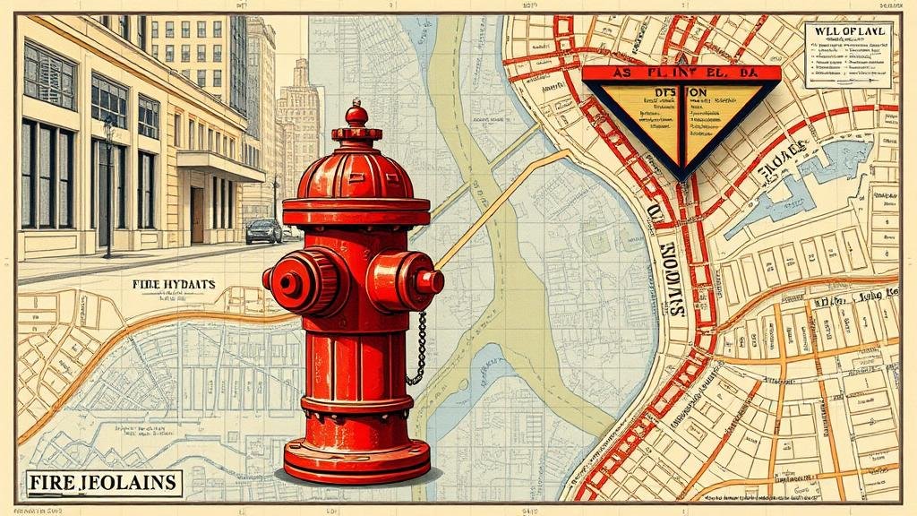
Exploring Old Fire Hydrant Maps for Relics of Urban Water Systems
Exploring Old Fire Hydrant Maps for Relics of Urban Water Systems
The study of historical infrastructure, specifically fire hydrants and their accompanying water systems, provides a unique lens through which urban development and engineering practices can be analyzed. Fire hydrant maps function as historical documents that capture not only the technological advancements of past eras but also the shifting priorities in urban water management. This research article delves into the significance of these maps, highlights notable findings, and introduces methodologies for their exploration.
The Historical Context of Fire Hydrant Infrastructure
The emergence of fire hydrants dates back to the early 19th century when urban areas began to expand rapidly. Cities such as New York and Philadelphia constructed their first hydrants to combat the rising threat of urban fires. The city of New York, in particular, installed its first hydrants in 1803, which laid the groundwork for a systematic response to fire disasters. Over the years, the adaptation of fire hydrant design mirrored advancements in material technology and hydraulic engineering.
- In the early 1900s, hydrants were primarily made of cast iron, designed for durability and pressure handling.
- By the 1950s, the introduction of bolt-on components and modular designs allowed for easier maintenance.
Importance of Fire Hydrant Maps
Fire hydrant maps serve multiple purposes in urban planning and public safety. provide critical information regarding the geographic distribution of hydrants, the classifications of water pressure, and historical changes in fire prevention strategies. Also, these maps often reveal the prioritization of certain neighborhoods based on socio-economic factors, thus reflecting the urban environments equity and accessibility issues.
Methodologies for Analyzing Historical Fire Hydrant Maps
This exploration of fire hydrant maps entails a multi-faceted approach, including the following methodologies:
- Geospatial Analysis: Utilizing Geographic Information Systems (GIS) can help researchers visualize and analyze the spatial distribution of historical hydrants. By overlaying current infrastructure with older maps, the evolution of the urban water system can be assessed.
- Historical Documentation: Archival research involving city records, fire department documents, and municipal blueprints can provide insights into the decision-making processes that shaped the installation and maintenance of hydrants.
- Field Surveys: Conducting surveys in historical neighborhoods allows for a direct comparison between current hydrant locations and their historical counterparts, thus verifying the data from maps.
Case Studies: Notable Discoveries
Several case studies illustrate the profound insights that can be gleaned from analyzing old fire hydrant maps:
- The City of Boston: Research into Bostons hydrant maps from the 1920s revealed that many hydrants were located strategically around public gathering spaces and streets with high commercial activity, indicating a focus on fire prevention in densely populated areas.
- San Franciscos Earthquake Preparedness: Studies conducted on fire hydrant installations before and after the 1906 earthquake showed an increased density of hydrants in areas most impacted by the disaster, highlighting a reactive approach to urban planning in disaster management.
Implications for Modern Urban Planning
The exploration of old fire hydrant maps has significant implications for modern urban planning. As cities grapple with the challenges of climate change and aging infrastructures, insights derived from historical data can guide contemporary decisions. For example, understanding past decisions about water main placements could improve current urban resilience strategies.
Also, the process of reviewing such maps can reveal inequities in service provision, providing researchers and city planners with information necessary to advocate for improved access to water services in underserved neighborhoods.
Conclusion
Old fire hydrant maps are invaluable resources that provide profound insights into the urban water systems of the past. Through careful analysis, researchers can unearth historical trends, assess urban development, and identify areas for future improvements. As urban areas continue to develop and adapt to modern challenges, the lessons learned from these historical documents will play a crucial role in shaping equitable and resilient urban infrastructure.
Future studies are encouraged to utilize interdisciplinary approaches, combining urban history, engineering, and social justice, to extract the maximum potential from these often-overlooked relics of urban water systems.


