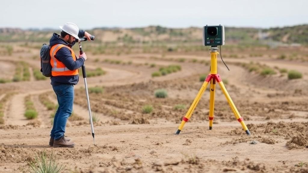
Detecting in High-Risk Zones With Unstable Ground Using Remote Sensing Equipment
Detecting in High-Risk Zones With Unstable Ground Using Remote Sensing Equipment
The detection of unstable ground in high-risk zones is a critical aspect of environmental management, urban planning, and disaster mitigation. With natural hazards such as landslides, sinkholes, and subsidence posing significant threats, the role of remote sensing equipment has become increasingly vital. This article explores how remote sensing methodologies enhance our ability to identify and monitor unstable ground conditions, detailing the technologies involved, their applications, and case studies demonstrating their efficacy.
Understanding Unstable Ground Conditions
Unstable ground conditions typically arise due to factors like soil erosion, geological changes, and human activities. An understanding of these conditions is essential for any preventative or responsive measures. Key types of unstable ground include:
- Landslides: Occur when there is a rapid downward movement of earth materials.
- Sinkholes: Formed by the dissolution of soluble bedrock, leading to severe ground depressions.
- Subsidence: A gradual sinking of the ground often resulting from groundwater extraction.
Identifying these conditions early can save lives, protect property, and significantly reduce recovery costs. As such, leveraging remote sensing technologies presents an innovative solution to these challenges.
Remote Sensing Technologies Overview
Remote sensing encompasses various techniques utilized to gather data about Earths surface without direct contact. Here, we explore two primary categories of remote sensing technologies commonly applied in monitoring unstable ground:
- Satellite Imagery: Offers a large-scale overview of land deformation patterns and vegetation impacts through multispectral and hyperspectral imaging.
- Ground-Based Sensors: Include InSAR (Interferometric Synthetic Aperture Radar), which uses radar signals to measure surface displacements with high precision.
Both of these technologies serve as powerful tools in detecting geological instabilities, although they function in complementary ways.
Applications of Remote Sensing in Detecting Unstable Ground
Remote sensing technologies have practical applications across various sectors, each contributing to a comprehensive understanding of ground stability:
- Urban Planning: Remote sensing assists city planners in assessing terrain stability before construction projects. For example, cities prone to seismic activity, like Los Angeles, utilize satellite imagery to monitor and manage earth movement in high-risk areas.
- Disaster Response: Following natural disasters, remote sensing facilitates damage assessment and aids in recovery efforts. The 2010 Haiti earthquake showcased how satellite imagery delivered rapid assessments that informed emergency response.
Case Studies Highlighting Success
Examining real-world applications of remote sensing reveals its effectiveness in addressing unstable ground conditions:
- Case Study 1 – The Italian Alps: Utilizing InSAR technology, researchers identified ground movements in the Italian Alps that indicated precursors to landslides. By analyzing radar data, scientists provided early warnings that allowed preemptive evacuations.
- Case Study 2 – Urban Sinkholes in Florida: In areas of Florida where sinkholes are prevalent, researchers employed aerial LiDAR (Light Detection and Ranging) systems to generate precise topographical maps. This data has been critical in pinpointing potential sinkhole formation zones.
Challenges and Limitations
Despite the advantages of remote sensing, several challenges persist:
- Data Resolution: Resolution may limit the effectiveness of remote sensing, particularly in densely populated urban environments where fine-scale features are essential for accurate assessment.
- Weather Dependence: Atmospheric conditions can interfere with data acquisition, impacting satellite imaging quality.
To mitigate these challenges, combining datasets from multiple sources and supplementing remote observations with ground-truthing methods remains crucial.
Actionable Takeaways
For stakeholders involved in managing unstable ground conditions, the following actionable items can optimize the use of remote sensing technologies:
- Integrate Data Sources: Use a combination of remote sensing techniques to enhance detection capabilities.
- Regular Monitoring: Use continuous monitoring systems where possible to ensure timely detection of changes.
- Engage Communities: Raise awareness and engage local communities in understanding ground instability risks and remote sensing applications.
To wrap up, detecting unstable ground in high-risk zones using remote sensing equipment presents a powerful approach to managing environmental hazards efficiently. By continuing to innovate and address current limitations, stakeholders can further enhance safety and awareness in vulnerable areas.


