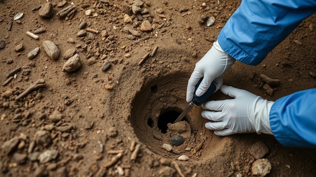
Detecting in Areas With Frequent Earthquakes for Artifacts Displaced Underground
Detecting in Areas With Frequent Earthquakes for Artifacts Displaced Underground
Natural calamities like earthquakes not only pose immediate dangers but can also lead to long-term impacts on archaeological sites. The sudden shifts in the Earths crust can displace artifacts buried underground, leading to a complex interplay between archaeology and geology. This article explores the methodologies and technologies employed in detecting such artifacts within seismically active regions, emphasizing the unique challenges faced by archaeologists.
Understanding the Impact of Earthquakes on Archaeological Sites
Earthquakes alter geographical landscapes, causing artifacts to shift position, become fragmented, or even bury deeper into the ground. According to the United States Geological Survey (USGS), there are over 20,000 earthquakes each year globally, with significant ones impacting historical sites. A vivid example is the 2010 Haiti earthquake, which not only devastated cities but also concealed numerous archaeological treasures previously accessible.
Artifacts can be displaced in several ways:
- Shifts in sediment layers, leading to deeper burial.
- Ground uplift or subsidence changing the original context of discovery.
- Geomorphological changes, such as landslides, that can completely cover archaeological layers.
Methodologies for Artifact Detection in Seismically Active Regions
Given the unpredictable nature of earthquakes and their potential to obscure archaeological contexts, a combination of methodologies is employed. These prove essential for locating artifacts effectively:
- Ground Penetrating Radar (GPR): This non-invasive technique uses radar pulses to image the subsurface. GPR can identify changes in material properties, making it suitable for detecting buried artifacts. A notable case occurred in the ancient city of Pompeii, where GPR successfully mapped areas previously hidden under volcanic ash.
- Magnetometry: This method detects variations in magnetic fields caused by ferromagnetic materials, such as iron artifacts. Research conducted in earthquake-prone regions of Turkey revealed previously unknown structures beneath the soil that were displaced by seismic activity.
- Electrical Resistivity Tomography (ERT): ERT measures the electrical resistance of soil and can highlight disturbances within the earth. This technique has been employed effectively in Egypt, where it identified burial sites affected by nearby seismic events.
Challenges in Detection
While several methodologies enhance detection capabilities, unique challenges persist, especially in active seismic zones:
- Variable Soil Composition: The presence of differing soil types and moisture levels can distort readings from GPR and ERT, making precise location identification difficult.
- Post-Earthquake Landscape Changes: Land alterations post-earthquake can obscure or destroy evidence of previous human activity.
Also, archaeologists must often work in remote areas, where access to modern technology can be limited, complicating archaeological surveys. In regions like northeastern Japan, recovery efforts after the 2011 earthquake and tsunami unveiled significant archaeological sites, yet many artifacts remain undiscovered simply due to the harsh conditions.
Case Studies: Successful Artifact Recovery
Numerous archaeological projects have effectively tackled the challenge of detecting artifacts in earthquake-prone areas. One notable project occurred in the San Andreas Fault region in California, where researchers utilized a combination of GPR and magnetometry. discovered numerous prehistoric sites that had been displaced due to fault activity, leading to new insights into early human settlement.
In another example, studies in rural Italy following the 2016 Amatrice earthquake revealed the use of drone technology along with GPR, which successfully mapped areas that were previously unreachable due to infrastructure collapse. This led to the recovery of both ancient Roman and historical artifacts, showcasing the efficacy of integrating modern technology into archaeological methodologies.
Actionable Takeaways
For archaeological projects in seismically active areas, the following strategies can enhance artifact detection:
- Use multi-method detection approaches to validate findings and overcome specific technology limitations.
- Engage in continuous monitoring of known archaeological sites to document any shifts or changes over time.
- Collaborate with geologists and seismic experts to better understand the underlying geological dynamics that could affect artifacts.
As natural disasters will continue to shape the landscape of archaeological discovery, employing creative and integrated efforts to detect artifacts not only preserves history but also contributes to our understanding of human resilience in the face of environmental challenges.


