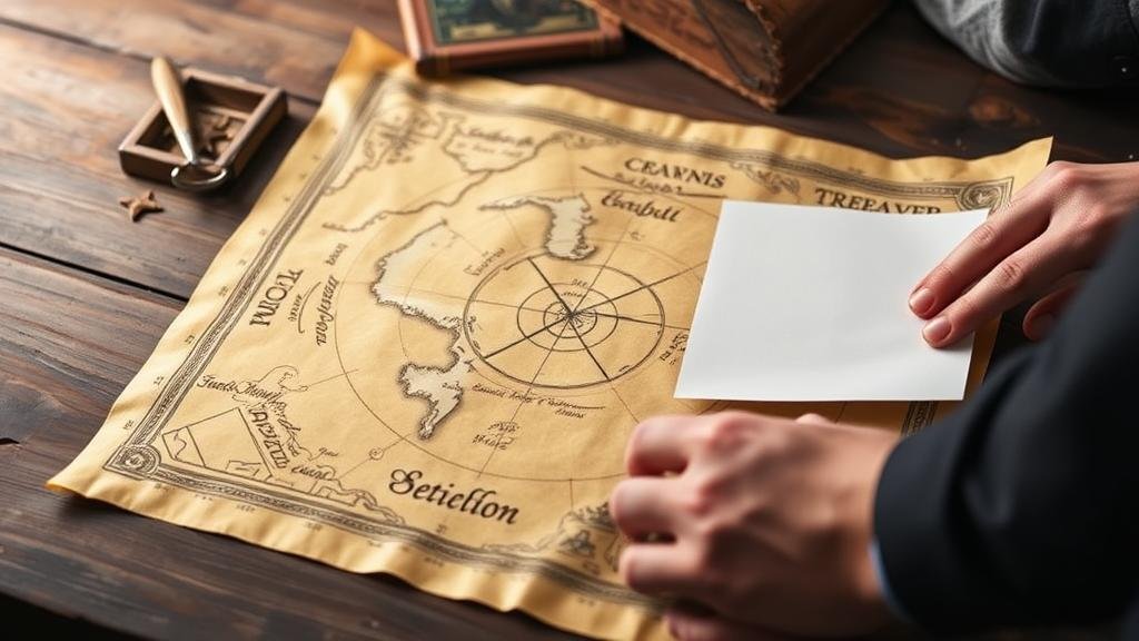
Deciphering Treasure Maps That Use Geometry for Coordinates
Deciphering Treasure Maps That Use Geometry for Coordinates
Treasures hidden throughout history have ignited the imaginations of countless adventurers and treasure hunters. Central to many of these quests are treasure maps, some of which utilize geometric principles to convey coordinates and guide seekers to their coveted prizes. This article explores the intersection of geometry and cartography in the context of treasure maps, detailing methodologies, techniques, and practical examples.
The Geometry of Treasure Maps
At the core of many treasure maps lies geometry, which provides a systematic method for representing locations relative to a coordinate system. Coordinate geometry allows mapmakers to create precise instructions for navigating to buried treasures.
In simple terms, geometric shapes such as lines, circles, and triangles are used to define areas of interest. For example, a common method is the use of Cartesian coordinates, which employs a grid to plot locations based on x (horizontal) and y (vertical) axes.
Types of Coordinate Systems
There are several types of coordinate systems used in treasure maps, each serving specific purposes:
- Cartesian Coordinates: The most common system, where locations are specified using X and Y values.
- Polar Coordinates: In this system, locations are defined in relation to a center point and an angle, which is particularly useful for circular or radial patterns.
- Geographic Coordinates: These use latitude and longitude to pinpoint locations on the Earths surface and are especially relevant in maps spanning larger areas.
Understanding the Language of Geometry
Treasure maps often incorporate specific geometric terms and symbols, the understanding of which is crucial for accurate interpretation. Here are some commonly used geometric elements:
- Angles: Sometimes indicated with a degree symbol, angles direct the hunter towards hidden locations. For example, a clue might suggest to head 30 degrees northeast from the old oak tree.
- Shapes: Objects such as crosses or triangles may signify safe spots; for example, a triangle pointing downward might indicate the treasure is directly below that point.
- Intersecting Lines: The intersection of lines on a map could denote a precise coordinate where the treasure lies.
Case Study: The Oak Island Mystery
The legend of Oak Island in Canada showcases a real-world example of how geometric principles are embedded in treasure hunting. Theories surrounding the infamous Money Pit suggest that various geometric shapes, such as triangles and circles, are utilized in the region to point towards hidden treasures and potential traps.
For example, researchers have examined various landmarks, including the triangle formed by the Money Pit and other points of interest on the island, documenting how these geometrically-oriented clues seem to coalesce at the treasures rumored location.
Applying Practical Techniques
Deciphering a treasure map is not merely a theoretical exercise; several practical techniques can be applied:
- Grid Mapping: Create a grid over the map using graph paper, translating the coordinates into a format that is easy to visualize.
- Digital Tools: Use mapping software that incorporates geometric calculations, which can provide valuable insights into triangulated points or angles.
- Spatial Awareness: Familiarize yourself with the area surrounding the map. Local terrain can provide context, enhancing your understanding of the geometric references.
Addressing Potential Questions
Many treasure hunters may have questions regarding the practicality of deciphering geometry in treasure maps. One might wonder: How accurate are geometric clues? While geometric principles provide a strong foundation, one must also consider historical context, as many treasures are linked to folklore or events that could distort accuracy.
Another common concern is the overlap between actual treasure locations and fictitious tales. It is key to approach each map critically, weighing geometric clues alongside historical research.
Actionable Takeaways
In summary, understanding how to decipher treasure maps that utilize geometric coordinates can significantly improve treasure hunting effectiveness. By becoming familiar with various coordinate systems, geometric terminology, and practical techniques, aspiring treasure hunters can enhance their skills.
As a final reminder: history is enriched by the pursuit of knowledge and adventure. Engaging with treasure maps not only presents opportunities for discovery but also fosters a deeper appreciation of geometrys relevance in real-world applications.


