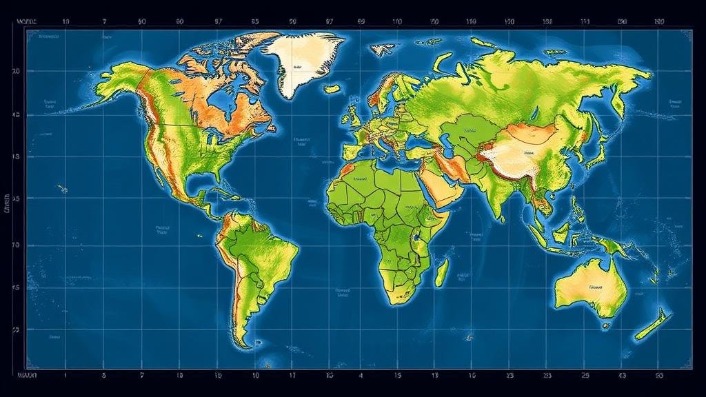
Deciphering Map Grids That Use Natural Patterns for Coordinates
Deciphering Map Grids That Use Natural Patterns for Coordinates
In the realm of cartography and geographic information systems (GIS), the integration of natural patterns as coordinates presents a compelling approach to understanding topography and spatial relationships. Traditional map grids typically employ a Cartesian coordinate system; however, utilizing natural patterns can lead to a more nuanced interpretation of geographic data. This article examines the methodology and implications of using such systems, supported by relevant examples and case studies.
Understanding Natural Pattern-Based Coordinates
Natural patterns are visual or spatial arrangements found in nature, which can be leveraged to create alternative coordinate systems. e patterns often reflect biological, geological, or climatic conditions and serve as more intuitive reference points compared to conventional grid coordinates.
For example, dendritic patterns seen in river systems exhibit how water flows and drains the landscape. When using these patterns as a base for mapping, the coordinates can provide insights into watershed management, leading to more sustainable environmental practices.
The Science Behind Natural Pattern Systems
Natural pattern-based coordinates tap into geomorphology–the study of landforms and the processes that shape them. By understanding these processes, cartographers can develop systems that accurately reflect the underlying geography.
- Fractal Geometry: Many natural forms, such as coastlines and trees, exhibit fractal characteristics. This means they can be described by repeating patterns at various scales. For example, the coastline of Britain can be measured more accurately using fractal dimensions, revealing spatial information that traditional linear measurements may overlook.
- Biogeographical Patterns: The distribution of vegetation or wildlife can indicate underlying geographic features. Maps utilizing these distributions can help in biodiversity conservation efforts by identifying critical habitats based on their natural coordinates.
Applications in Environmental and Urban Planning
The implications of using natural patterns in map grids are significant, particularly for urban and environmental planning. By identifying and employing these natural coordinates, planners can create more adaptive and resilient systems that reflect the intrinsic characteristics of the environment.
For example, in Venice, Italy, urban planners have started using natural patterns of tidal flows in their mapping systems. By integrating these patterns, planners can predict flooding events more accurately and devise strategies to mitigate potential disasters.
Case Study: The Amazon Rainforest
The Amazon rainforest presents a compelling case for utilizing natural pattern-based coordinates. Researchers mapping the intricate web of tributaries used the landscapes organic contours to develop a physiographic mapping system, enhancing our understanding of ecosystem dynamics.
This method revealed critical hotspots of biodiversity that traditional cartographic approaches had missed. By aligning conservation efforts with these natural patterns, initiatives can be more efficiently directed towards areas of high ecological value, providing a clearer framework for conservation policy.
Challenges and Limitations
While the integration of natural patterns into map grids offers numerous advantages, it also comes with challenges. The subjective interpretation of patterns can lead to inconsistencies in data representation. Plus, natural patterns may not be static; they can change over time due to anthropogenic influences or natural events, complicating their application in long-term planning.
Also, the technical requirements for accurately capturing and analyzing natural patterns demand advanced GIS capabilities and a thorough understanding of both ecology and cartography. Training professionals in these areas remains crucial for the effective use of natural coordinate systems.
Future Directions and Considerations
The evolving landscape of technology, particularly with advancements in remote sensing and artificial intelligence, offers exciting prospects for refining natural pattern-based map grids. Enhanced data analytics can help in recognizing and interpreting complex natural patterns with greater precision.
- Integration with Climate Models: Utilizing natural pattern coordinates in predictive climate models can yield deeper insights into potential ecological changes as climate conditions shift.
- Community-Based Mapping: Engaging local communities in mapping their environments using natural patterns empowers them to share their observations and cultural knowledge, which can enrich mapping data.
Actionable Takeaways
Deciphering map grids that utilize natural patterns for coordinates opens new avenues for understanding our environment. As urbanization and environmental degradation continue to challenge our ecosystems, adopting these methodologies is paramount. Professionals in cartography, urban planning, and environmental science should:
- Explore natural patterns in their respective fields and identify applicable areas for implementation.
- Invest in training and tools that enable a comprehensive understanding of both ecological principles and mapping technologies.
- Collaborate with local communities for input in mapping efforts, merging traditional ecological knowledge with modern methodologies.
By embracing natural patterns as coordinates, we can enhance our capacity to observe, predict, and respond to the complexities of our environment, paving the way for more informed and responsible decision-making.


