Cross-Referencing Old Maps and Digital Coast Data for Coastal Artifact Finds
Cross-Referencing Old Maps and Digital Coast Data for Coastal Artifact Finds
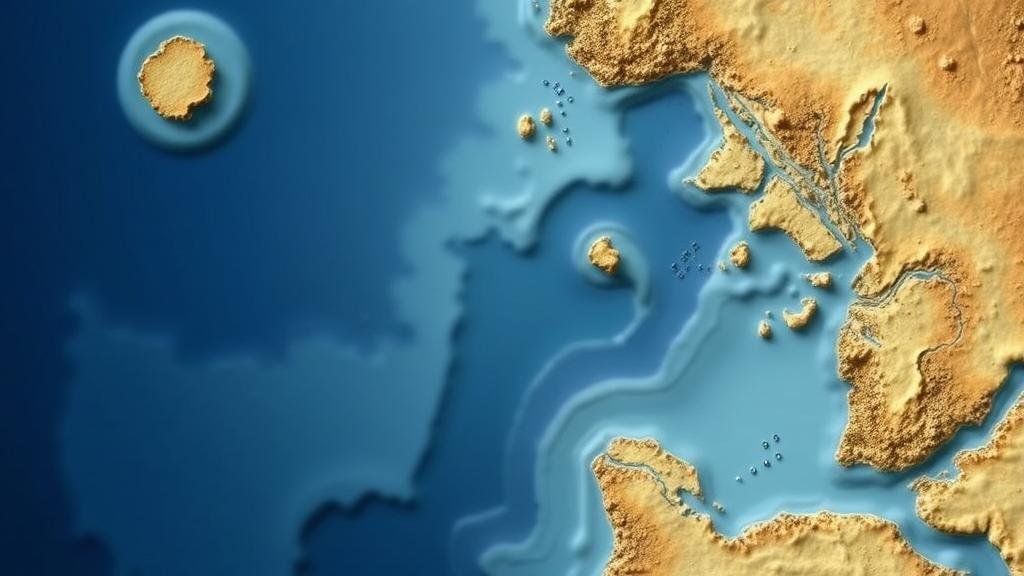
The intersection of historical cartography and modern digital mapping technologies provides a unique opportunity for locating coastal artifacts that tell the story of human activity over centuries. This research article explores the methodologies and implications of cross-referencing old maps with Digital Coast data, exemplifying the collaborative potential of various disciplines such as archaeology, geography, and digital sciences.
Introduction
Coastal areas are often rich in archaeological potential due to their long histories of human habitation and activity. This significance is compounded by the dynamic nature of coastal environments, where shifts in land use, sea level changes, and natural landforms can obscure or enhance archaeological deposits. integration of historical maps and modern geospatial data offers a holistic approach to identifying potential sites for artifact recovery.
Historical Context of Coastal Settlements
The significance of coastal settlements can be traced back to ancient civilizations. For example, the ancient city of Tyre (present-day Lebanon) was founded in 2750 BC, actively participating in maritime trade. Coastal towns like Jamestown, Virginia, established in 1607, showcase extensive interaction with the Atlantic and intrinsic archaeological value. Historical maps from these areas provide insights into land use and settlement patterns through the lenses of various periods.
Methodology
The methodology for cross-referencing old maps with digital data involves a multi-step approach:
- Data Acquisition: Collecting historical maps from national archives, libraries, or private collections and obtaining Digital Coast data from sources like the National Oceanic and Atmospheric Administration (NOAA).
- Geospatial Analysis: Using Geographic Information Systems (GIS) to overlay historical maps with current digital terrain models, allowing for analysis of changes over time.
- Field Verification: Conducting ground surveys at identified locations to confirm the presence of artifacts and to understand the context of their deposition.
Case Studies
Multiple case studies have demonstrated the effectiveness of this methodology:
Case Study 1: Jamestown, Virginia
Research conducted in Jamestown utilized 17th-century maps to identify areas of past settlement and related infrastructure. The cross-referencing with contemporary bathymetric data revealed submerged structures likely to yield artifacts related to early colonial activity.
Case Study 2: The Lost Town of Tuckerton, New Jersey
In Tuckerton, historical maps highlighted locations of service industries from the 18th century that have since succumbed to erosion. Geo-referencing these maps against current shoreline data allowed researchers to pinpoint areas where artifacts might be preserved underwater or within eroded soil strata.
Limitations and Challenges
While this approach is promising, several limitations and challenges must be addressed:
- Map Accuracy: Historical maps may contain inaccuracies due to the cartographic techniques of the time, which can lead to errors in site identification.
- Data Completeness: Digital Coast data may not capture all aspects of the coastal environment, particularly in regions prone to rapid ecological changes.
- Legal Constraints: Some archaeological sites may be subject to legal restrictions, impacting the ability to excavate or conduct research.
Real-World Applications
The practical applications of combining old maps with digital data extend beyond academic research. This methodology can inform urban planning, conservation efforts, and tourism development. For example, identifying heritage sites can help in allocating resources for preservation and can make a communitys historical narratives accessible to the public.
Conclusion
Cross-referencing old maps with digital coast data represents a significant advancement in coastal archaeology. By harnessing the insights gained from historical cartography alongside modern technological resources, researchers can enhance their understanding of human interaction with coastal landscapes. approach not only contributes to archaeological knowledge but also supports efforts in heritage management and environmental conservation.
Actionable Takeaways
To implement this research methodology effectively, practitioners and researchers should consider the following steps:
- Collaborate with local historical societies to gain access to rare historical maps.
- Leverage GIS and other digital tools to conduct thorough geospatial analyses.
- Engage community stakeholders in identifying potential sites, fostering public interest and support for archaeological projects.
By understanding the comprehensive narrative woven between historical maps and coastal data, professionals in archaeology and related fields can unlock the secrets of our coastal past.


