Combining Local Oral Histories with NOAA Tools to Locate Shipwrecks
Combining Local Oral Histories with NOAA Tools to Locate Shipwrecks
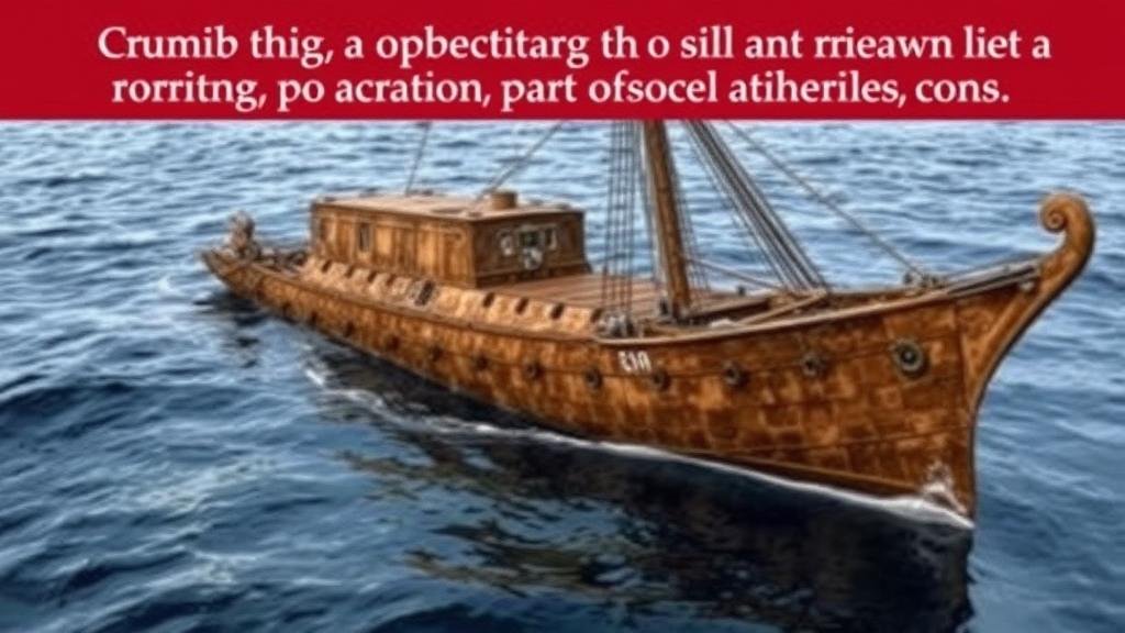
The quest to locate shipwrecks has evolved significantly over the years, particularly with the integration of local oral histories and advanced tools developed by the National Oceanic and Atmospheric Administration (NOAA). This article examines the collaboration between these two resources, highlighting their effectiveness in maritime archaeology and preservation efforts.
The Importance of Local Oral Histories
Oral histories are testimonials passed down through generations, often encompassing personal accounts and knowledge about local maritime events. These narratives are invaluable for several reasons:
- They offer unique insights into cultural and historical contexts that may not be documented in written records.
- They can guide researchers to specific locations based on community anecdotes.
- They contribute to the preservation of local heritage and identity.
For example, families along the Gulf Coast have maintained oral traditions regarding the disappearance of the SS Mercedes, a merchant vessel that sank off the coast of Texas during a storm in 1907. Local fishermen reported tales of remnants, suggesting noteworthy coordinates that coincided with NOAAs maritime charts.
NOAAs Technological Tools
NOAA employs various sophisticated technologies that aid in locating submerged objects, including shipwrecks. Some of these technologies include:
- Multibeam Sonar: This technology allows for detailed mapping of the seafloor, creating bathymetric maps that help identify potential shipwreck locations.
- Remote Operated Vehicles (ROVs): Equipped with cameras and sensors, ROVs can explore underwater wreck sites that are otherwise inaccessible.
- Bathymetric LiDAR: This aerial laser technology scans shallow waters to detect anomalies in the seafloor.
For example, the integration of multibeam sonar with localized historical accounts led to the successful discovery of the wreck of the USS Cayoosh, a World War II cargo vessel, off the coast of Hawaii in 2021. Local fisherman had previously recounted their experiences of seeing strange structures at certain depths, which guided NOAAs survey efforts.
Combining Oral Histories with NOAA Tools
Combining local oral histories with NOAA’s tools results in a synergistic approach that enhances both archaeological accuracy and community involvement. Collaboration between historians, local communities, and scientists can yield significant findings. Here’s how this integration functions:
- Community Engagement: Involving local residents in the search for shipwrecks fosters interest and provides them with ownership of their local maritime history.
- Data Verification: Oral histories can serve as preliminary data that guides the use of advanced technologies, ensuring that explorations target historically significant areas.
- Educational Opportunities: This approach creates opportunities for educational programs that raise awareness about marine conservation and historical preservation.
For example, the Lake Michigan Shipwreck Survey leveraged local stories about shipwrecks to inform NOAA’s sonar mapping projects. The collaboration led to the identification of over 30 historically significant wreck sites based on combined oral accounts and sonar surveys.
Challenges and Limitations
Despite the benefits of combining local histories with NOAA tools, several challenges persist:
- Credibility of Oral Histories: The reliability of oral accounts can be inconsistent, as memories may fade or change over time, necessitating careful validation.
- Technological Limitations: While NOAA’s tools are advanced, they are not infallible and can sometimes yield inconclusive results, resulting in lost opportunities for recovery.
In the case of the Ghost Fleet of Mallows Bay, ongoing technological assessments were hampered by sediment coverage and fluctuating water levels, which occasionally rendered oral accounts less useful due to the lack of corroborating evidence.
Conclusion and Future Directions
The combination of local oral histories with NOAA tools presents a promising avenue for enhancing maritime archaeology and cultural preservation. By recognizing the value of community knowledge alongside technological advancements, we can deepen our understanding of coastal histories and foster collaborative relationships that benefit both researchers and local populations.
Going forward, it is crucial to establish frameworks for systematically documenting oral histories, enhancing the training for local narrators, and ensuring ongoing interaction between maritime explorers and communities. These steps would not only empower local voices but also create more comprehensive and engaging approaches to locating and preserving shipwrecks across waters rich with history.


