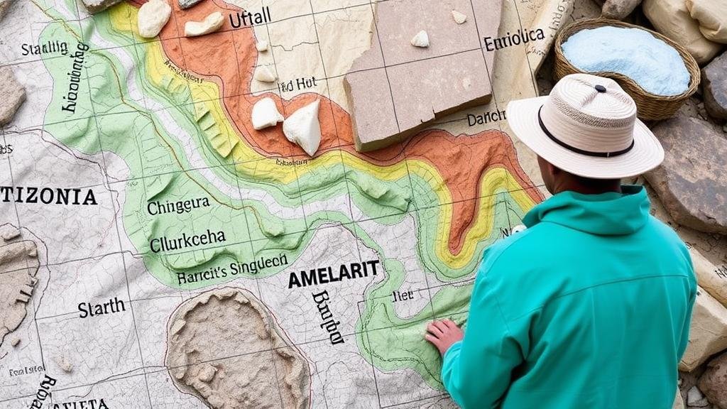
Combining Local Folklore with Geological Maps for Artifact Hunting Success
Combining Local Folklore with Geological Maps for Artifact Hunting Success
This research article explores the intersection of local folklore and geological maps as a strategic framework for successful artifact hunting. By examining the underlying cultural narratives intertwined with geographic features, researchers and hobbyists can enhance their artifact hunting endeavors in diverse regions.
Introduction
The practice of artifact hunting has evolved into both a scientific and recreational activity, drawing interest from archaeologists, historians, and hobbyists alike. One innovative approach integrating cultural narratives with geospatial analysis involves utilizing local folklore alongside geological maps. Folklore often contains valuable historical information that can indicate the presence of artifacts and the significance of certain regions. This article aims to outline the methodological synergy between folklore and geology and its implications for artifact hunting success.
The Role of Folklore in Understanding Historical Contexts
Folklore encompasses traditional beliefs, stories, and customs passed down through generations. These narratives are often rooted deeply in local geography and historical events. Folktales can reveal insights into human behavior, settlement patterns, and even conflicts that have occurred in specific areas.
Case Study: The Lost Treasure of the Ohio River Valley
In the early 1800s, local legends told of hidden treasures along the Ohio River Valley, particularly near the confluence of the river and Wheeling Creek. Folklore describes the buried wealth left by settlers fleeing from conflicts in Kentucky. This narrative has motivated numerous treasure hunters to explore the area, drawing on geological maps indicating suitable sites for excavation.
Geological Maps: Tools for Identifying Artifact Locations
Geological maps provide a detailed representation of the Earth’s surface and subsurface materials. reveal the distribution of rock types, soil characteristics, and natural resources, which can be critical in predicting where artifacts might be found. By correlating this geological data with folklore, artifact hunters can prioritize areas that have higher potential for discovery.
Geological Indicators of Artifact Presence
Certain geological features are more likely to shelter artifacts due to their environmental characteristics, such as:
- Riverbanks: These areas are often sites for human habitation and transient activity, making them prime locations for finding tools and habitation-related artifacts.
- Clay Deposits: Clay-rich areas frequently preserve items such as pottery, indicating historic human activity.
Methodology for Combining Folklore and Geological Data
A successful approach to artifact hunting combines qualitative folklore research with quantitative geological analysis. This method involves the following steps:
Step 1: Folklore Collection
Gather local stories, interviews, and historical documents that reference significant events or locations. Organizations such as local historical societies or libraries can be invaluable resources in this phase.
Step 2: Geological Mapping
Acquire and analyze recent geological maps from reputable sources like the U.S. Geological Survey (USGS) to identify relevant geological features correlated with folklore narratives.
Step 3: Field Verification
Conduct field explorations to validate the folklore findings while simultaneously conducting surveys in prominent geological areas. Recording observations and collecting data on found artifacts adds to the overall knowledge base.
Real-World Applications and Case Examples
Archaeological expeditions that have successfully integrated folklore and geological mapping provide concrete evidence of this methodologys efficacy. For example, an archaeological team in Arizona utilized Native American legends of lost villages and correlated them with geological surveys, leading to the successful discovery of ancient artifacts in previously overlooked areas.
Challenges and Considerations
While this combined methodology presents a promising approach to artifact hunting, certain challenges must be addressed:
- Subjectivity of Folklore: Folklore is subjective and can vary significantly among communities, leading to potential biases in data collection.
- Environmental Changes: Geological features can change over time due to natural processes, impacting previous research and findings.
Conclusion
The integration of local folklore with geological mapping creates a multifaceted approach to artifact hunting. By harnessing the insights provided by cultural narratives along with the rigor of geological analysis, hunters can effectively narrow their search areas and improve their chances of successful discoveries. Future research should continue to refine this methodology through applied case studies, contributing to the broader field of archaeology and cultural heritage preservation.


