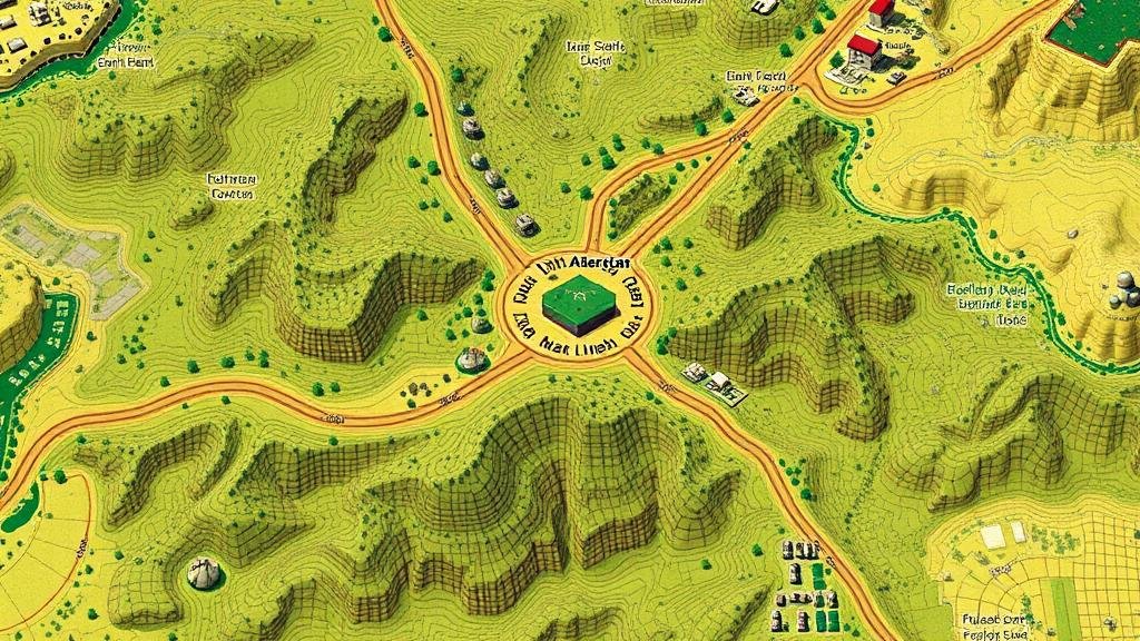
Applying AI to Map Forgotten Agricultural Relic Zones in Early Land Use Plans
Applying AI to Map Forgotten Agricultural Relic Zones in Early Land Use Plans
The intersection of artificial intelligence (AI) and historical geography offers unprecedented opportunities for uncovering the nuances of early land use plans. This article explores how AI technologies can be utilized to identify and map forgotten agricultural relic zones, focusing on case studies and methodological approaches that illustrate this innovative application.
The Significance of Agricultural Relic Zones
Agricultural relic zones refer to areas that once supported agricultural activities but have been overlooked or forgotten in contemporary land use planning. These zones typically encompass remnants of old practices, including historic farming layouts, irrigation systems, and crop types, which can be critical in understanding both historical landscapes and sustainable agricultural practices.
Historical Context
As societies evolve, many agricultural landscapes transform due to urbanization, industrialization, and changes in farming practices. For example, in the United States, the Dust Bowl of the 1930s led to extensive agricultural abandonment in regions like the Southern Plains. Subsequent land use plans often overlooked these historical agricultural practices, leading to a loss of indigenous knowledge and biodiversity.
Artificial Intelligence in Historical Mapping
The application of AI in historical geography primarily involves machine learning algorithms that analyze large datasets. Techniques such as remote sensing, natural language processing (NLP), and geographic information systems (GIS) allow researchers to identify and map forgotten agricultural zones effectively.
Remote Sensing
Remote sensing utilizes satellite imagery and aerial photography to evaluate land cover changes over time. AI algorithms can process these images to detect patterns indicative of past agricultural practices. For example, a study published in 2021 demonstrated how AI could analyze Landsat imagery to identify fallow fields and previous agricultural layouts in the Midwest, revealing insights into historical land management practices.
Natural Language Processing
NLP techniques can analyze historical texts, such as farm records, land surveys, and newspaper articles, to extract relevant agricultural data. In a study around the historical state agriculture surveys from 1820 to 1950, NLP was employed to digitize and interpret thousands of documents, effectively mapping forgotten practices as reported by local farmers and agricultural agents.
Case Studies: Successful Applications of AI
Several successful applications of AI for mapping agricultural relic zones have emerged globally. e case studies highlight the effectiveness of AI methodologies in uncovering valuable data.
Case Study 1: The UK’s Historic Landscape Project
The UK has undertaken initiatives like the Historic Landscape Project, which leverages AI for analyzing and mapping historical agricultural landscapes. Utilizing GIS and machine learning, researchers have successfully mapped pre-19th century agrarian landscapes, helping to restore ecological practices tied to this agricultural heritage.
Case Study 2: The American Midwest
In the Midwest US, institutions such as the National Center for Supercomputing Applications have developed AI-driven models that utilize historical satellite imagery and local climatic data to determine former agricultural zones. This analysis facilitated the regeneration of native prairie restoration initiatives, emphasizing the role of historical land use in current ecological contexts.
Challenges and Considerations
While the application of AI shows great promise, several challenges must be acknowledged. Data availability, quality, and the need for interdisciplinary collaboration can complicate research efforts. Also, there is an ongoing concern about the accuracy and bias inherent in AI algorithms, which may overlook local historical nuances.
Conclusion and Actionable Takeaways
Integrating AI into the mapping of forgotten agricultural relic zones is not only a significant scientific endeavor but also a pathway to fostering sustainable agricultural practices informed by historical data. Stakeholders in agricultural policy and environmental conservation should:
- Invest in collaborative AI research projects that bridge historical geography with modern agricultural practices.
- Use AI methodologies to support sustainable land use initiatives and biodiversity preservation.
- Promote educational programs that highlight the importance of understanding historical agricultural landscapes for contemporary land use planning.
Ultimately, a concerted effort to map and preserve agricultural relic zones can lead to a richer understanding of both our ecological heritage and future agricultural sustainability.


