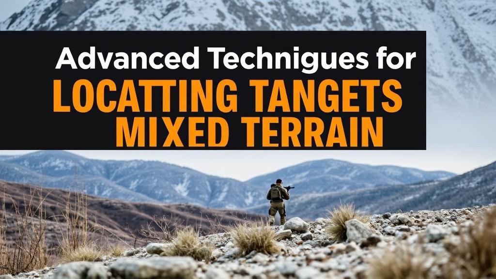
Advanced Techniques for Locating Targets in Mixed Terrain
Advanced Techniques for Locating Targets in Mixed Terrain
The ability to accurately locate targets in mixed terrain poses significant challenges for military operations, search and rescue missions, and various other applications. Mixed terrain can include a combination of urban environments, wilderness, mountains, and water bodies, thus complicating the task of detection and identification. This article explores advanced techniques for locating targets in such environments, including sensor fusion, remote sensing technologies, and artificial intelligence applications.
Understanding Mixed Terrain Challenges
Mixed terrain encompasses various geographical features that can obstruct conventional locating methods. Some challenges include:
- Obscured Line of Sight: Trees, buildings, and hills can obstruct visual and radar signals, leading to information loss.
- Signal Interference: Urban areas frequently present electromagnetic interference from various sources, complicating sensor readings.
- Complex Geographies: The unpredictable nature of mixed terrain requires adaptive strategies for target detection.
Understanding these challenges is crucial for devising effective strategies to enhance target locating capabilities in mixed environments.
Sensor Fusion: Integrating Multiple Data Sources
Sensor fusion involves combining data from multiple sensor types to obtain more accurate and comprehensive information about the target. Different sensors, including cameras, infrared sensors, and radar, provide distinct but complementary data. For example, while infrared sensors can detect heat signatures, camera systems offer visual context.
A case study illustrating the effectiveness of sensor fusion is the United States Department of Defenses use of the RQ-11 Raven drone. This drone employs a combination of visible light and infrared cameras to capture images and track targets in diverse terrains. The integration of data allows operators to discern patterns or behaviors, offering a reliable method for target identification even in mixed environments.
Remote Sensing Technologies
Remote sensing technologies have evolved to enhance target localization significantly. The following technologies are particularly effective in mixed terrain:
- LiDAR (Light Detection and Ranging): LiDAR helps generate high-resolution topographical maps, making it easier to identify targets obscured by vegetation or terrain irregularities.
- Satellite Imaging: Satellite imagery can provide wide-area surveillance and monitor changes in land use, aiding in the detection of movement and potential targets.
- Aerostat Systems: These high-altitude balloons equipped with various sensors can monitor vast areas over extended periods, offering critical real-time data in mixed terrains.
For example, in natural disaster scenarios, remote sensing technologies enable organizations to identify victims in areas inaccessible to ground vehicles. After a hurricane, aerial imagery can reveal damage extent and indicate where people may be trapped, facilitating targeted rescue operations.
Artificial Intelligence and Machine Learning Applications
Artificial Intelligence (AI) and Machine Learning (ML) have revolutionized how data is processed and interpreted, particularly in mixed terrain scenarios. These technologies allow for predictive analytics, pattern recognition, and improved decision-making processes. By training algorithms on extensive data sets, AI can identify potential targets quickly and accurately, reducing response time.
For example, the integration of AI in video analytics from drones can enable the identification of specific objects, such as vehicles or personnel, in real-time. Deep learning models can distinguish between legitimate targets and false positives, increasing operational efficiency. A leading example is the work done by the Defense Advanced Research Projects Agency (DARPA), which developed algorithms that analyze aerial footage to detect unusual movements that signify potential threats.
Real-World Applications and Considerations
The advanced techniques for locating targets in mixed terrain have numerous real-world applications beyond military use. Search and rescue missions benefit markedly from sensor fusion and AI technologies, improving success rates and efficiency. For example, during urban search and rescue operations following earthquakes, combining remote sensing with ground-level reconnaissance has helped locate survivors trapped beneath rubble.
But, employing these advanced techniques also raises ethical considerations regarding privacy and surveillance. Organizations utilizing such advanced technology must adhere to legal frameworks and establish protocols to ensure civilian privacy is not compromised while still effectively achieving their mission objectives.
Actionable Takeaways
For those involved in operations that require locating targets in mixed terrains, the following actionable strategies can enhance effectiveness:
- Invest in Sensor Fusion: Utilizing multiple sensor types will provide a more comprehensive understanding of the operational environment.
- Leverage Remote Sensing: Incorporate remote sensing technologies for wide-area surveillance and enhanced situational awareness.
- Use AI for Data Analysis: Apply machine learning algorithms to streamline the processing of vast amounts of data and improve decision-making capabilities.
By implementing these advanced techniques, operators can significantly improve their ability to locate targets in challenging mixed terrain, leading to more successful operational outcomes.


