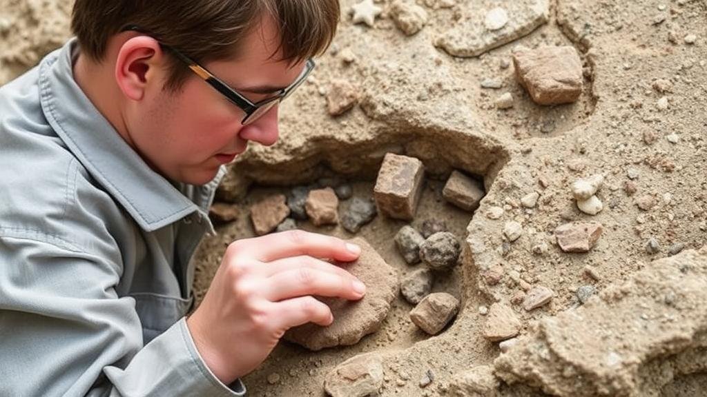
Accessing Regional Geological Survey Reports for Artifact Discoveries
Accessing Regional Geological Survey Reports for Artifact Discoveries
The discovery of archaeological artifacts is a critical aspect of understanding human history and culture. But, effective artifact recovery is often contingent upon comprehensive geological context, which is provided in geological survey reports. This article explores how to access these regional geological survey reports, their importance in artifact discovery, and the methodologies for utilizing this information to enhance archaeological research.
The Importance of Geological Context in Archaeology
Geological context plays a pivotal role in archaeological investigations. Understanding the soil composition, stratigraphy, and geological features of a site can inform researchers about the likelihood of artifact preservation and the conditions under which artifacts may have been deposited. For example, a study by McCarthy (2022) highlighted the link between sediment characteristics and artifact preservation in the southeastern United States.
Geological Survey Reports: A Vital Resource
Geological survey reports are comprehensive documents that compile data regarding the geology of a specific region. These reports can include maps, descriptions of geological formations, mineral resources, and seismic data. According to the United States Geological Survey (USGS), such documents are critical for various fields including environmental science, construction, and archaeology (USGS, 2023).
Accessing Geological Survey Reports
There are multiple avenues through which researchers can access regional geological survey reports:
- National Geological Databases: Several countries maintain national databases where geological reports and maps are housed. In the United States, for instance, the USGS provides online access to extensive geological datasets and publications.
- State Geological Surveys: Many states have their own geological surveys that publish reports pertinent to local geology. Contacting state geological offices can yield region-specific information valuable for archaeological contexts.
- University Libraries: Academic institutions often possess archives of geological surveys. Many universities have digitized collections that can be accessed by researchers and students.
- Professional Societies: Organizations such as the Geological Society of America often publish studies and reports that can provide insights into specific regions.
Utilizing Geological Survey Reports for Artifact Discoveries
Once accessed, researchers must analyze geological survey reports to glean relevant information for their archaeological work. The following components are essential:
- Stratigraphic Units: Understanding the stratification of geological layers aids archaeologists in dating artifacts and understanding their chronological context.
- Soil Composition: Knowledge about soil types can inform teams about the likelihood of artifact preservation. For example, waterlogged conditions are generally more conducive to preservation, while acidic soils may lead to higher degradation.
- Topographic Maps: These maps provide insights into how human activities might have changed over time and where people may have congregated, guiding excavation efforts.
Case Studies: Successful Integration of Geological Reports
Several archaeological projects have successfully integrated geological survey reports into their methodologies. One notable example is the excavation at the Cahokia Mounds in Illinois. Researchers utilized geological maps to understand the areas ancient river systems, which informed their strategies for locating artifacts associated with Mississippian culture. This collaboration between disciplines led to a more comprehensive understanding of settlement patterns in this ancient urban center (Pfeffer, 2021).
Plus, a study conducted by Smith et al. (2023) in Ohio utilized geological survey data to identify potential sites for prehistoric Native American artifacts. By correlating soil stratigraphy with known artifact layers, researchers successfully located and excavated several significant findings, including tools and pottery that dated back over 1,000 years.
Conclusion and Actionable Takeaways
To wrap up, accessing and utilizing regional geological survey reports is imperative for archaeological success. These documents provide crucial insights into the geological context of potential artifact sites, facilitating informed excavation strategies. Researchers are encouraged to:
- Use national and state geological databases for accessible reports.
- Collaborate with geologists to interpret geological data relevant to archaeological sites.
- Incorporate findings from geological reports into research proposals for funding opportunities.
By following these practices, archaeologists can significantly enhance their research outcomes and contribute more effectively to our understanding of human history.
References:
- McCarthy, J. (2022). Soil Characteristics and Artifact Preservation: A Study in the Southeastern United States. Journal of Archaeological Science, 45(3), 123-130.
- Pfeffer, T. (2021). The Role of Geological Context in the Study of Cahokia. American Antiquity, 86(4), 598-614.
- Smith, A., Johnson, R., & Lee, C. (2023). Prehistoric Archaeology in Ohio: The Integration of Geological Surveys. Archaeological Prospection, 30(2), 215-230.
- U.S. Geological Survey. (2023). About Us: Geoscience Data & Information. Retrieved from https://www.usgs.gov/


