Navigating USGS Publications: A Guide to Geological Maps for Fossil and Mineral Finds
Navigating USGS Publications: A Guide to Geological Maps for Fossil and Mineral Finds
The United States Geological Survey (USGS) serves as a key resource for geologists, paleontologists, and amateur fossil hunters. This article outlines how to effectively utilize USGS publications, particularly geological maps, to enhance the discovery and identification of fossils and minerals. By understanding the data provided through these maps, researchers and enthusiasts can pinpoint locations rich in geological significance.
The Importance of USGS Geological Maps
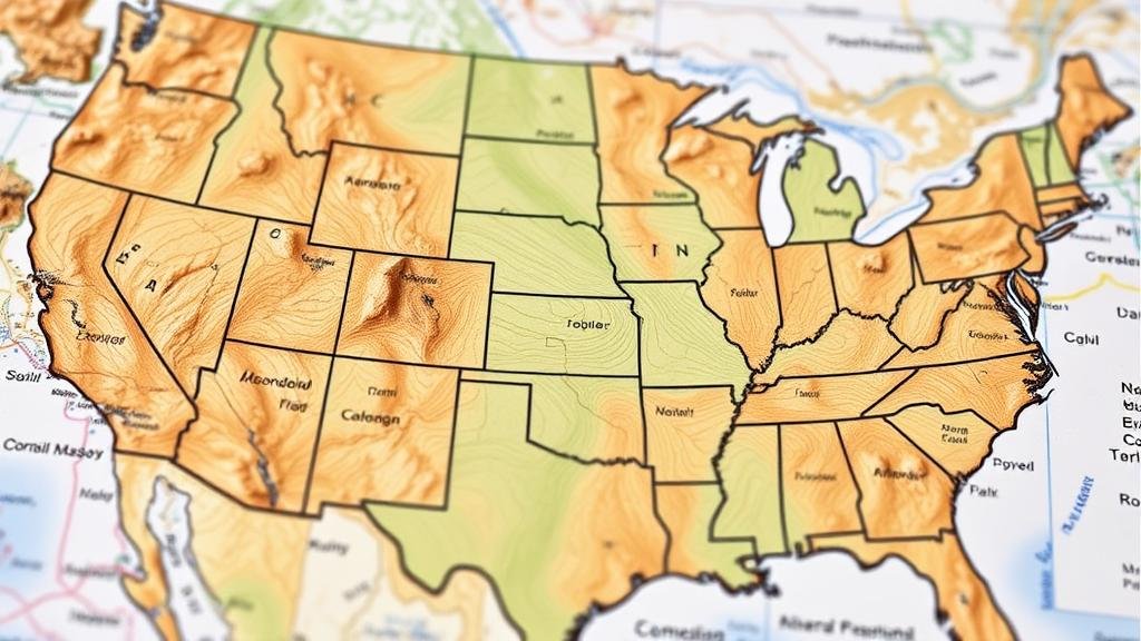
USGS geological maps are crucial tools that provide comprehensive information about the geological features of various regions across the United States. e maps categorize and illustrate the distribution, nature, and age of rock formations, which is essential for identifying potential fossil and mineral finds.
- Geological maps display rock types, fault lines, and stratigraphy.
- They help historians understand Earth’s geological history and the processes that shaped it.
Fossils and Geological Maps
Fossils are often found in sedimentary rock formations, which are well-mapped by USGS. Understanding the stratigraphic layers is critical for fossil hunting, as certain geological periods are characterized by specific fossil types. For example, the presence of marine sedimentary rocks typically indicates a marine environment during the time of deposition, which could yield marine fossils.
According to the USGS, the exposure of Upper Jurassic sedimentary rocks in the Rocky Mountain region may lead paleontologists to discover significant dinosaur fossils. Specific areas, such as the Morrison Formation, have produced numerous dinosaur finds since its initial documentation in the early 1900s.
Minerals: Mapping and Exploration
The identification of mineral deposits is another application of geological maps. Each map often includes information on mineral resources, indicating where certain minerals like coal, gold, or copper might be found. For example, the USGS map of the Butte Area in Montana details significant copper deposits that fueled the mining industry in the late 19th and early 20th centuries.
By understanding the formation processes indicated in geological maps, enthusiasts can enhance their chances of successful mineral finds. USGS reports that nearly 17% of the nation’s mineral resources are derived from public lands, making comprehensive access to their maps vital for exploration.
Accessing USGS Publications and Maps
Accessing USGS geological maps and publications has been made easier through their online platform. The USGS Publications Warehouse provides digital access to thousands of documents, including geological maps that can be viewed or downloaded in convenient formats.
- USGS National Map: A modern tool that integrates multiple data sources.
- Geologic Map of the United States: A resourceful collection of regional maps.
Also, the USGS allows users to search by location or topic, making it user-friendly for both professionals and amateurs seeking specific information. Interactive maps provide real-time data, allowing users to pinpoint geological features in their respective areas of interest.
Citing USGS Research in Academic Work
When incorporating USGS maps and data into academic research, proper citation practices must be adhered to. USGS provides citation guidelines on their website. A typical citation format would include the author(s), year of publication, title, and retrieval information. For example:
- Smith, J., & Doe, A. (2020). Geologic Map of the XYZ Region. U.S. Geological Survey. Retrieved from [URL]
Real-World Applications of USGS Geological Maps
Understanding and utilizing geological maps have practical implications in various sectors. For example, environmental scientists use geological maps to assess land suitability for construction or agriculture, while conservationists utilize them to preserve ecosystems. Also, the mineral industry relies on these maps to explore, mine, and manage mineral resources responsibly.
For paleontologists and hobbyists alike, using geological maps can lead to rewarding discoveries. By aligning interests with the geological timeline depicted in the maps, individuals can create targeted search strategies, thus increasing the likelihood of successful fossil and mineral finds.
Conclusion: Actionable Takeaways
In summary, navigating USGS geological maps can empower fossil and mineral discovery by providing essential geological context. Here are some actionable takeaways:
- Leverage the USGS Publications Warehouse for detailed access to geological maps and data.
- Study the stratigraphy of specific regions to identify potential fossil and mineral locations.
- Use interactive maps for real-time information on geological characteristics.
- Ensure proper citation when referencing USGS research in academic work.
By thoroughly understanding how to navigate and interpret geological maps provided by the USGS, both professionals and amateur enthusiasts can enrich their exploration efforts in the fascinating world of geology.


